
The question “Where is the Amazon forest?” once required a physical expedition, a compass, and a paper map. Today, the answer is found in petabytes of data, orbiting satellites, and sophisticated AI algorithms. In the modern technological landscape, “locating” the Amazon is no longer about finding a spot on a globe; it is about the digital reconstruction of one of the earth’s most complex ecosystems. Through the lens of geospatial technology, machine learning, and remote sensing, we explore how the tech industry identifies, monitors, and protects the world’s largest rainforest.
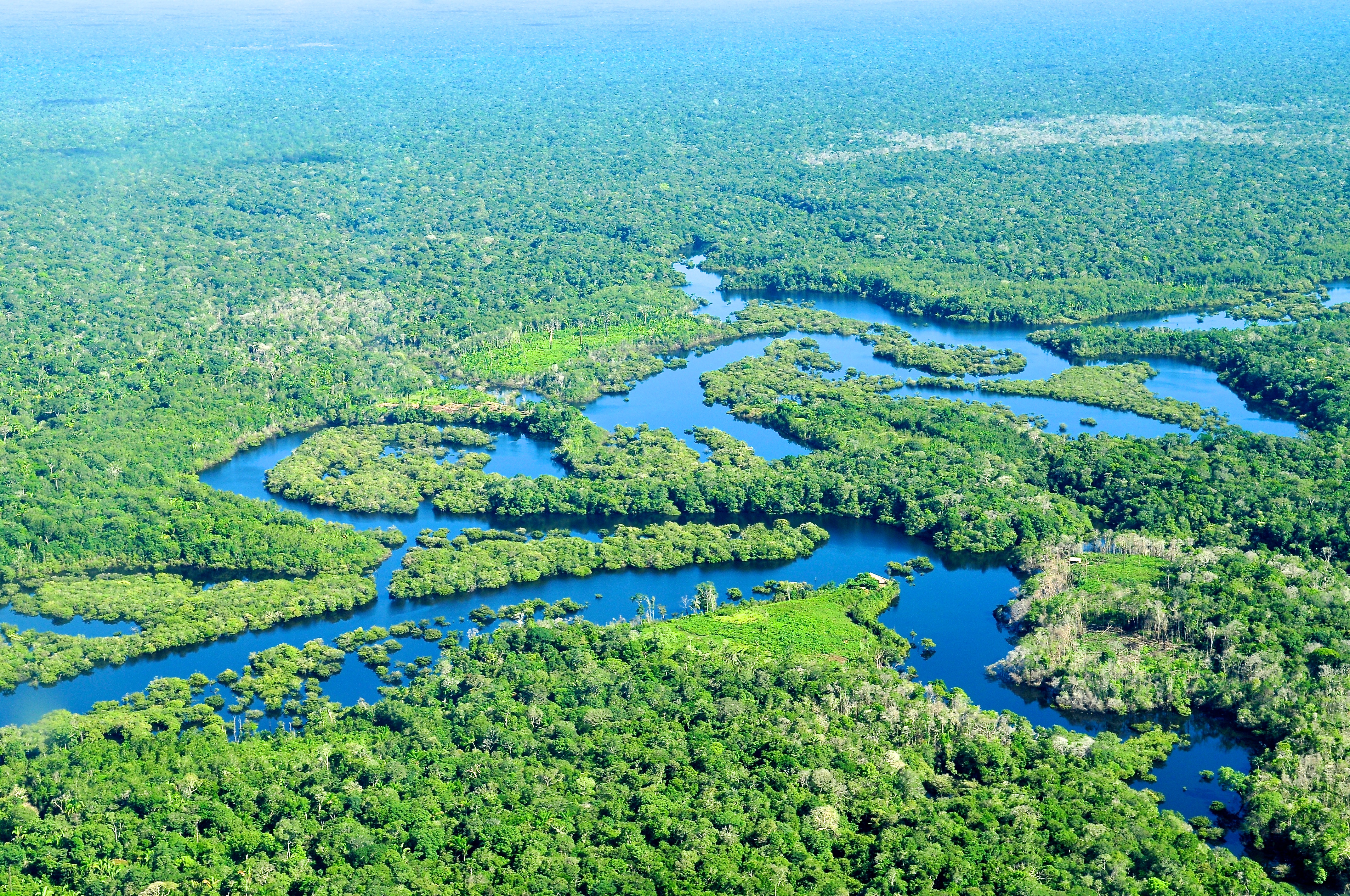
The Digital Cartography of the Amazon: Satellite Tech and Remote Sensing
To answer where the Amazon is with precision, we must look upward. The primary tools for locating and defining the boundaries of the forest are Earth Observation (EO) satellites. This isn’t just about taking pictures; it is about complex data acquisition across multiple spectrums.
Remote Sensing and Lidar: Peering Through the Canopy
Traditional photography is often hindered by the thick cloud cover prevalent in tropical regions. To solve this, technologists employ Synthetic Aperture Radar (SAR). Unlike optical sensors, SAR can “see” through clouds and smoke, providing a consistent data stream regardless of weather conditions.
Furthermore, Light Detection and Ranging (Lidar) has revolutionized our understanding of the forest’s structure. By firing laser pulses from aircraft or satellites (like NASA’s GEDI mission) and measuring the time it takes for them to bounce back, scientists create high-resolution 3D maps. This tech allows us to locate not just the perimeter of the forest, but the specific height, density, and biomass of the trees, turning a 2D map into a multi-dimensional digital twin.
Real-Time Monitoring: From Pixels to Protection
The “where” of the Amazon is constantly shifting due to deforestation and land use. Software platforms like Global Forest Watch utilize satellite imagery from the Landsat and Sentinel programs to provide near-real-time alerts. These systems use change-detection algorithms to identify “pixels” of forest that have disappeared between one satellite pass and the next. This digital vigilance allows tech-equipped rangers to pinpoint illegal logging activities within days, or even hours, of their occurrence.
AI and Machine Learning: Interpreting the Data Ecosystem
While satellites provide the raw data, Artificial Intelligence (AI) provides the insight. Identifying the Amazon’s current state requires processing more information than any human team could manage. This is where machine learning models become the “eyes” of the environmental tech sector.
Predictive Modeling for Deforestation
Machine learning is no longer just reactive; it is becoming predictive. By feeding historical data into neural networks—including proximity to roads, historical logging patterns, and economic trends—AI tools can now predict where the Amazon is most likely to be lost next. These “heat maps” of vulnerability allow NGOs and governments to allocate resources to high-risk areas before the first tree is cut.
Software suites like Google Earth Engine have democratized this process, providing the computational power to analyze decades of satellite imagery in seconds. This allows researchers to track the “where” of the forest across time, creating a chronological digital record of its expansion and contraction.
Bioacoustic Monitoring and AI Soundscapes
“Where” the forest is can also be determined by its sound. A recent trend in environmental tech involves deploying “Guardian” devices—recycled smartphones equipped with high-sensitivity microphones and solar panels. These devices are hidden in the canopy and use AI to listen to the forest.
The onboard AI is trained to distinguish between the natural sounds of the jungle (birds, monkeys, rain) and the “invasive” sounds of chainsaws or trucks. When a suspicious sound is detected, the device transmits a real-time alert via a cloud network. In this context, locating the forest is an auditory exercise, where AI helps define the boundaries between a healthy ecosystem and an industrial incursion.

The Cloud and Big Data: Storing a Rainforest’s Worth of Information
The technological footprint of the Amazon forest is massive. To manage the sheer volume of data generated by satellites, drones, and ground sensors, the tech industry relies on robust cloud infrastructure and big data analytics.
Edge Computing in Remote Environments
One of the biggest challenges in locating and monitoring the Amazon is its remoteness. Internet connectivity is often non-existent under the canopy. To bridge this gap, engineers are utilizing “Edge Computing.” Instead of sending massive files to a distant server for processing, localized hardware processes the data on-site.
For instance, a drone flying over a remote sector of the Amazon can use onboard AI to identify specific tree species or signs of illegal mining. Only the relevant metadata—the “coordinates of interest”—is then transmitted via satellite link. This efficiency is critical for maintaining a live digital map of the forest’s interior.
Open-Source Platforms for Global Collaboration
The question of where the Amazon is—and how it is changing—is a global concern. Tech giants and non-profits have responded by creating open-source data platforms. By hosting forest data on the cloud, organizations ensure that researchers in Brazil, Peru, and Colombia can collaborate with data scientists in Silicon Valley or London.
The interoperability of these tools is key. When software developers use open APIs (Application Programming Interfaces), they can layer different types of data—soil moisture, carbon density, and legal boundaries—onto a single map. This creates a comprehensive “tech stack” for the Amazon, providing a multi-layered answer to its geographic and biological status.
Digital Security and the Integrity of Environmental Data
As the Amazon becomes more “digital,” the security of the data used to locate and protect it becomes paramount. The tech industry must ensure that the information used for conservation doesn’t fall into the wrong hands or become corrupted.
Preventing Cyber Threats to Conservation Networks
The data indicating exactly where endangered species are located or where high-value timber stands can be exploited by bad actors. Cybersecurity for environmental NGOs is a growing niche within the tech world. Protecting GPS coordinates, flight paths of monitoring drones, and the identities of indigenous forest protectors involves implementing high-level encryption and secure communication protocols similar to those used in the financial or defense sectors.
Blockchain for Transparent Supply Chains
Knowing “where” the Amazon is also means knowing where its resources go. Blockchain technology is being applied to create transparent supply chains for products like timber, cattle, and soy. By “tagging” a product at its point of origin in the Amazon with a unique digital identifier on a blockchain, tech companies can track its journey to the global market.
This prevents “laundering” of products from illegally deforested areas. If a shipment of timber cannot prove its digital lineage back to a legally managed forest plot, it is flagged. This tech-driven transparency turns the geographical “where” of the forest into a moral and legal “where” for the consumer, ensuring that the digital map of the Amazon aligns with the physical reality of its preservation.

Conclusion: The Future of the Virtual Forest
Where is the Amazon forest? It is in the cloud. It is in the neural networks of AI models. It is in the laser pulses of Lidar and the encrypted signals of bioacoustic sensors. Through these technological advancements, we have moved beyond simple geography into a new era of “Precision Conservation.”
The integration of tech into the Amazon doesn’t just help us find the forest; it helps us understand it, listen to it, and defend it. As AI tools become more sophisticated and satellite imagery reaches sub-meter resolution, our digital mirror of the Amazon will become so accurate that we can monitor the health of every individual tree. In the digital age, locating the Amazon is the first step toward ensuring it remains exactly where it belongs: as the thriving, green heart of our planet.
aViewFromTheCave is a participant in the Amazon Services LLC Associates Program, an affiliate advertising program designed to provide a means for sites to earn advertising fees by advertising and linking to Amazon.com. Amazon, the Amazon logo, AmazonSupply, and the AmazonSupply logo are trademarks of Amazon.com, Inc. or its affiliates. As an Amazon Associate we earn affiliate commissions from qualifying purchases.