
In the realm of emergency management and public safety technology, clarity is the most valuable currency. For the average smartphone user, the sudden blare of an emergency alert can be startling, but the technical distinction between a “Watch” and a “Warning” is critical for operational response. While both terms signify atmospheric instability, they represent two entirely different stages of data processing, sensor validation, and algorithmic confirmation.
From a technological perspective, the question of which is “worse” is a matter of latency and proximity. A tornado watch is a predictive software state based on large-scale atmospheric modeling, whereas a tornado warning is a reactive state triggered by real-time sensor data. To understand the gravity of each, we must look under the hood of the sophisticated tech stack that powers the National Weather Service (NWS) and modern meteorological software.
The Digital Infrastructure of Meteorological Detection
The transition from a clear sky to a life-threatening storm is monitored by a multi-layered hardware and software ecosystem. This infrastructure is what allows meteorologists to categorize threats into watches and warnings. At the heart of this system is a combination of remote sensing and high-performance computing.
NEXRAD and Dual-Polarization Radar
The primary hardware responsible for identifying tornadic activity is the NEXRAD (Next-Generation Radar) system, a network of 160 high-resolution Doppler radar sites. Modern NEXRAD tech utilizes dual-polarization, which sends out both horizontal and vertical pulses. This allows the system’s software to distinguish between raindrops, hailstones, and—most importantly for a tornado warning—non-meteorological debris. When the radar’s processing unit detects a “Tornado Debris Signature” (TDS), the software confirms that a tornado is already on the ground, triggering an immediate escalation in alert status.
Geostationary Satellites and the GOES-R Series
While radar looks at the storm from the ground up, the GOES-R (Geostationary Operational Environmental Satellite) series provides a top-down view. These satellites are equipped with Geostationary Lightning Mappers (GLM), which detect rapid increases in lightning activity—a digital precursor to severe weather intensification. The data from these satellites is fed into cloud-based processing centers, providing the “big picture” data necessary to issue a tornado watch across several counties or states simultaneously.
Watch vs. Warning: A Data-Driven Distinction
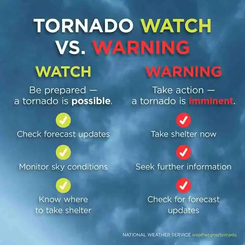
To the technologist, a “Watch” and a “Warning” represent different points on a data timeline. A watch is a probabilistic forecast, while a warning is a deterministic event.
Probabilistic Modeling: The Tornado Watch
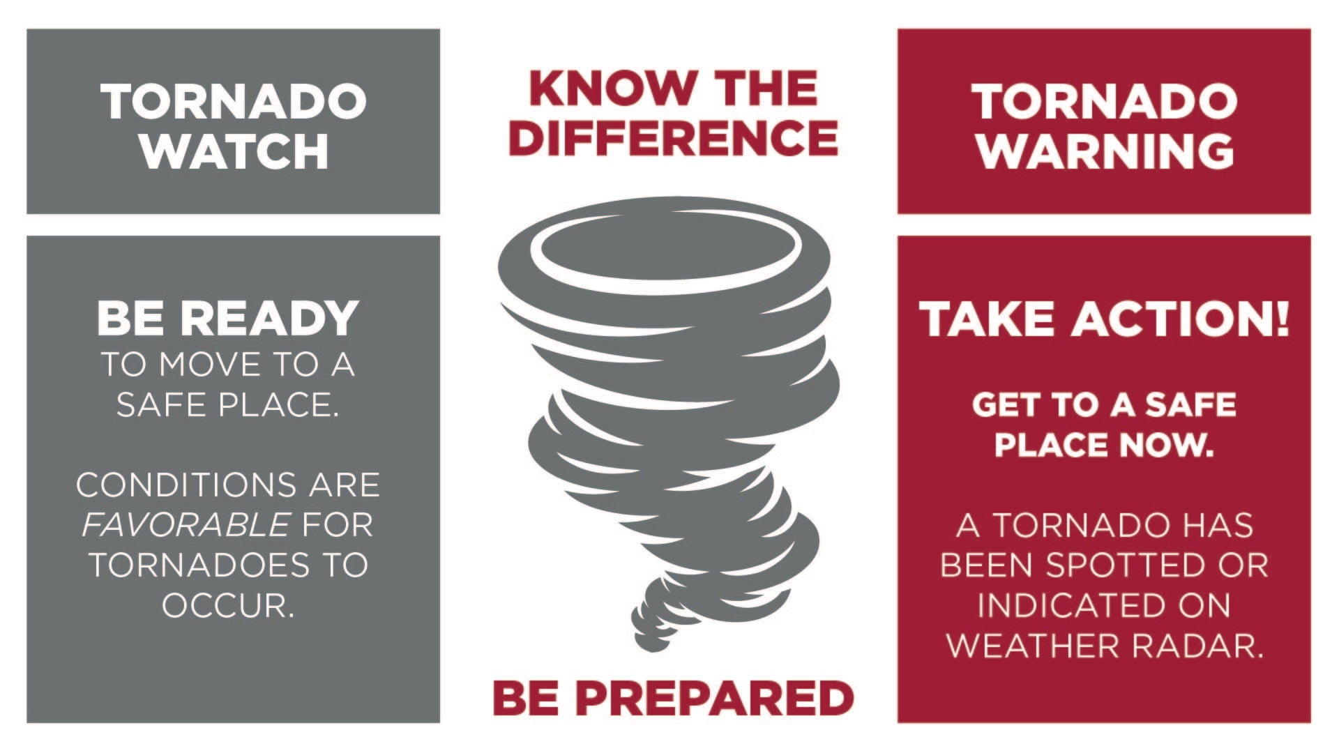
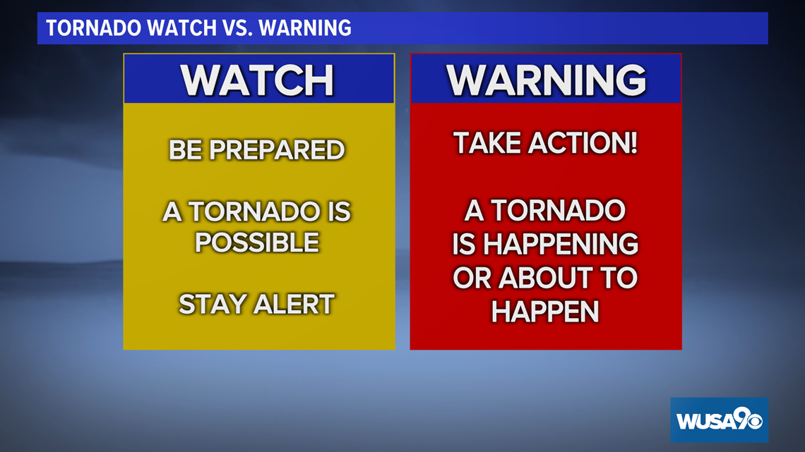
A Tornado Watch is issued when the technical conditions are favorable for the development of severe thunderstorms and tornadoes. This is a “Watch” for the potential of an event. In terms of software logic, this is an “If-Then” scenario. Meteorologists use High-Resolution Rapid Refresh (HRRR) models to run simulations every hour. If the computational models show high levels of CAPE (Convective Available Potential Energy) and wind shear, a watch is issued. It covers a large geographic area and lasts for several hours, signaling to the public that the “system is armed” but has not yet fired.
Real-Time Validation: The Tornado Warning
A Tornado Warning is a significantly more “urgent” digital state. It means a tornado has been sighted by a human spotter or indicated by weather radar. In the tech workflow, a warning represents a verified hit. The geographic scope of a warning is much smaller—often a specific “polygon” drawn on a GIS (Geographic Information System) map—and the duration is much shorter, typically 30 to 60 minutes. If a watch is a “system ready” notification, a warning is a “critical system failure” alert that requires immediate intervention. From a risk-assessment standpoint, the warning is “worse” because the threat is no longer theoretical; it is active.
The Role of AI and Machine Learning in Precision Alerting
The gap between a watch and a warning is being narrowed by the integration of Artificial Intelligence (AI) and Machine Learning (ML). These technologies are designed to increase lead times—the minutes between the issuance of a warning and the actual impact of the storm.
Predictive Analytics in Storm Prediction Centers
Machine learning algorithms are now trained on decades of historical radar data. By analyzing the “hook echoes” of past tornadoes, AI can identify subtle rotations in supercell thunderstorms that the human eye might miss. This automated pattern recognition allows for “Probabilistic Hazard Information” (PHI), which provides a more granular look at how a storm is evolving. This tech helps meteorologists transition from a broad “Watch” to a precise “Warning” with higher confidence and fewer false positives.
Reducing “Warning Fatigue” through Deep Learning
One of the biggest challenges in emergency tech is “warning fatigue,” where users begin to ignore alerts because they occur too frequently or are inaccurate. Deep learning models are being used to filter out noise in radar data, such as bird migrations or ground clutter, which can sometimes trigger false tornado warnings. By increasing the accuracy of the warning software, tech developers ensure that when a “Warning” hits a user’s phone, it is treated with the gravity it deserves.
Modern Dissemination: How the Tech Reaches Your Pocket
The most advanced detection tech is useless if the alert cannot reach the end-user in milliseconds. The “last mile” of tornado safety is a feat of telecommunications engineering.
Wireless Emergency Alerts (WEA) and Geofencing
When a meteorologist draws a warning polygon on their terminal, that data is pushed to the Integrated Public Alert and Warning System (IPAWS). This system uses geofencing technology to broadcast the alert to every mobile phone connected to towers within that specific polygon. Unlike a standard text message, WEA alerts use a dedicated radio frequency to avoid network congestion. This ensures that even if cellular data is slow due to the storm, the “Warning” notification—the “worse” and more urgent of the two—will still break through.
IoT and Smart Home Integration
The Internet of Things (IOT) has expanded the reach of weather alerts. Modern smart homes can be programmed to respond to NWS API feeds. For example, a “Tornado Warning” trigger can automatically turn on all smart lights in a house, unlock smart doors for emergency egress, and broadcast audio alerts through smart speakers. In this context, the difference between a watch and a warning is programmed into the home’s automation logic: a “Watch” might trigger a notification on a smart fridge, but a “Warning” triggers a full-house emergency protocol.
The Future of Hazard Communication Technology
As we look toward the future, the distinction between a watch and a warning may become even more refined through the use of hyper-local data and edge computing.
Edge Computing and Hyper-Local Forecasting
Currently, weather data is often processed in centralized data centers, which introduces a small amount of latency. The move toward “edge computing”—where data is processed closer to the radar site or even on local sensors—could reduce the time it takes to issue a warning by several seconds. In a tornadic event, ten seconds can be the difference between reaching a shelter and being caught in the open.
Augmented Reality (AR) and Visualization Tools
The next frontier in weather tech is the visualization of the “Watch vs. Warning” dynamic. Developers are working on AR applications that allow users to point their phones at the sky and see a digital overlay of the radar polygon. This would allow a user to see exactly where the “Warning” area begins and ends in relation to their physical location. By turning abstract meteorological data into a visual, spatial reality, technology is making the “worse” scenario (the warning) easier to navigate and survive.
In summary, while a tornado watch signals a period of high alert and data monitoring, a tornado warning is a confirmed emergency validated by sophisticated radar software and AI. Understanding the technical triggers behind these alerts is essential for anyone relying on digital tools to stay safe in the path of a storm. In the hierarchy of digital notifications, the warning is the ultimate critical alert, demanding immediate transition from data consumption to physical action.
aViewFromTheCave is a participant in the Amazon Services LLC Associates Program, an affiliate advertising program designed to provide a means for sites to earn advertising fees by advertising and linking to Amazon.com. Amazon, the Amazon logo, AmazonSupply, and the AmazonSupply logo are trademarks of Amazon.com, Inc. or its affiliates. As an Amazon Associate we earn affiliate commissions from qualifying purchases.