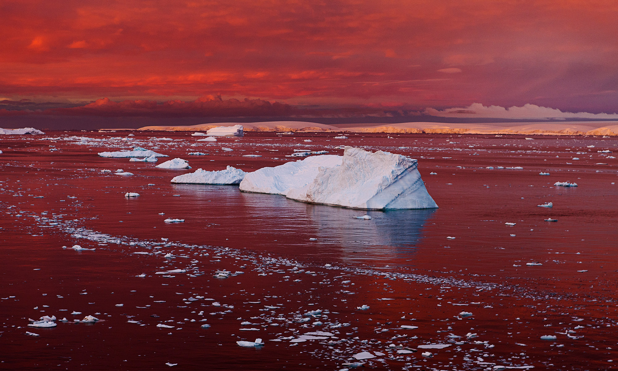
Antarctica, the Earth’s southernmost continent, remains an enigmatic and critical frontier for scientific inquiry. Far from being a static, isolated landmass, it is a dynamic system undergoing profound changes, largely driven by global climate shifts. Understanding “what’s happening in Antarctica” is no longer just a matter of intrepid human exploration but increasingly a testament to the power and ingenuity of cutting-edge technology. From satellites orbiting hundreds of kilometers above to autonomous vehicles probing icy depths, technology is revolutionizing our ability to observe, measure, analyze, and comprehend the continent’s complex narratives. This technological transformation is not merely about data collection; it’s about extending human reach into some of the planet’s most inhospitable environments, enabling unprecedented discoveries, and informing crucial global policy decisions.
The sheer scale, harsh conditions, and logistical challenges of Antarctic research necessitate sophisticated technological solutions. Traditional methods, while foundational, are increasingly augmented and superseded by innovations that offer greater precision, endurance, safety, and data volume. This deep dive explores the pivotal role technology plays in unraveling the mysteries of the white continent, highlighting how advancements across various tech domains are shaping our understanding of its past, present, and future.
The Eyes in the Sky and Beyond: Advanced Sensing and Observation
The vastness and inaccessibility of Antarctica make comprehensive ground-based observation incredibly challenging. This is where advanced sensing technologies, particularly those operating remotely, become indispensable, acting as our primary eyes and ears across the continent and its surrounding oceans.
Satellite Surveillance: Monitoring Ice Dynamics and Climate Change
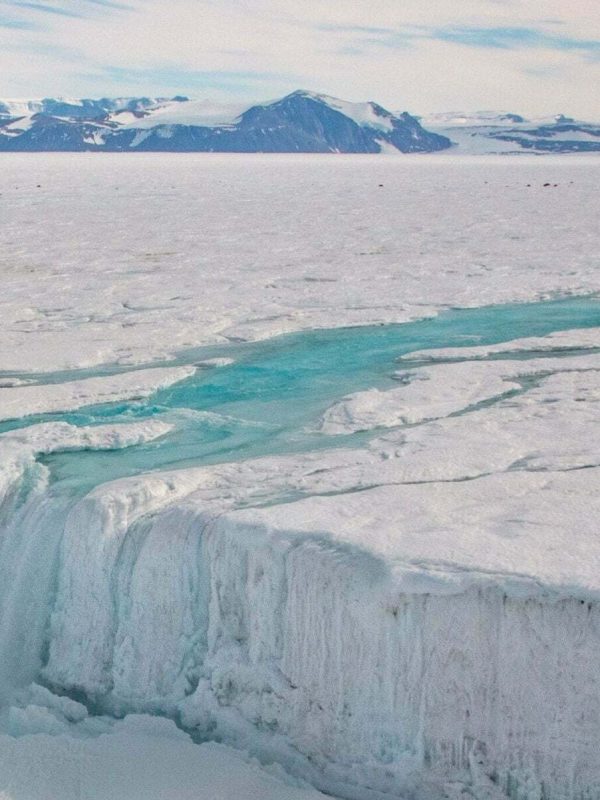
Satellites are arguably the most critical technological assets for understanding large-scale phenomena in Antarctica. Orbiting spacecraft equipped with a range of sensors provide continuous, long-term data on ice sheet dynamics, sea ice extent, and atmospheric conditions. Synthetic Aperture Radar (SAR) systems, for instance, can penetrate clouds and operate independently of sunlight, offering high-resolution images of ice flow, calving events, and surface changes even during the long Antarctic winter. Gravimetry missions, such as GRACE and GRACE-FO, precisely measure changes in Earth’s gravity field, directly indicating mass loss from the ice sheets – a direct proxy for global sea-level rise contributions.
Lidar (Light Detection and Ranging) satellites, like ICESat-2, use laser pulses to measure ice sheet elevation with millimeter precision, allowing scientists to track changes in ice volume over time. These aerial perspectives offer a continental-scale view that is impossible to achieve from the ground, providing foundational data for climate models, understanding ocean circulation patterns, and predicting future environmental impacts. The continuous stream of data generated by these constellations is processed and integrated into global climate models, helping refine our understanding of feedback loops between ice, ocean, and atmosphere. The insights gained are critical for policymakers worldwide in anticipating and mitigating the effects of climate change.
Aerial and Terrestrial Drones: Precision Data Collection in Hazardous Zones
While satellites offer broad coverage, drones provide the crucial intermediate scale for data collection, bridging the gap between orbital observations and ground-based measurements. Unmanned Aerial Vehicles (UAVs) or drones, equipped with high-resolution cameras, multispectral sensors, and even ground-penetrating radar, can fly intricate patterns over specific glaciers, ice shelves, and research sites. They map terrain, monitor wildlife populations (e.g., penguin colonies, seal populations) without disturbance, and assess snow depth and crevasse fields more safely and efficiently than human crews.
The advent of VTOL (Vertical Take-Off and Landing) drones and long-endurance fixed-wing UAVs has significantly expanded their operational envelopes in Antarctica’s notoriously turbulent weather. On the ground, robotic terrestrial drones or rovers are being developed and deployed to traverse dangerous ice fields, measure surface properties, and even collect samples from areas too risky or remote for human researchers. These ground-based autonomous systems can operate for extended periods, enduring extreme cold and high winds, effectively extending the reach of scientific instruments into previously unreachable territories.
Sub-Surface Probes and Oceanography: Unveiling the Underbelly of the Continent
A significant portion of Antarctica’s activity occurs beneath the surface, both within the ice and in the surrounding Southern Ocean. Autonomous Underwater Vehicles (AUVs) and remotely operated vehicles (ROVs) are paramount here. AUVs equipped with sonar, cameras, and oceanographic sensors explore the sub-ice shelf cavities, a crucial interface where ocean waters melt glaciers from below. Understanding these interactions is vital for predicting ice sheet stability and future sea-level contributions. ROVs allow real-time observation and sampling in challenging marine environments, from deep-sea vents to the undersides of icebergs, revealing previously unknown ecosystems and geological processes. These submersible technologies operate in conditions of extreme cold, darkness, and immense pressure, providing data on ocean currents, temperature, salinity, and biodiversity that would be impossible to obtain otherwise.
AI and Big Data: Deciphering Antarctica’s Complex Narratives
The proliferation of advanced sensing technologies has led to an explosion in data volume, pushing the limits of human processing capabilities. Artificial Intelligence (AI) and big data analytics are now indispensable tools for extracting meaningful insights from this deluge, transforming raw measurements into actionable knowledge.
Predictive Modeling for Climate and Ecosystems
AI algorithms are increasingly employed to develop and refine predictive models for Antarctic climate and ecosystems. Machine learning (ML) models can integrate vast datasets from satellites, ground sensors, and ocean probes to forecast ice sheet melt rates, predict the movement of sea ice, and anticipate shifts in marine species distribution. By identifying complex patterns and non-linear relationships that might elude traditional statistical methods, AI enhances the accuracy of long-term climate projections, particularly concerning sea-level rise and the continent’s role in global weather systems. These models are crucial for understanding the potential impacts on global climate, marine life, and human populations worldwide.
Automated Data Analysis for Glaciology and Marine Biology
The sheer volume of imagery and sensor data generated daily from Antarctica necessitates automated analysis. AI-powered image recognition can swiftly identify and categorize features in satellite imagery, such as crevasses, melt ponds, and iceberg movements, far more rapidly and consistently than human analysts. In marine biology, AI is used to process acoustic data for whale and seal populations, analyze underwater imagery for biodiversity assessments, and track the movements of marine organisms. This automation frees up scientists to focus on higher-level interpretation and hypothesis testing, accelerating the pace of discovery. For instance, classifying thousands of penguin colonies or identifying specific species of krill from vast datasets is now feasible thanks to AI.

Machine Learning in Environmental Monitoring and Conservation
Beyond purely scientific discovery, AI plays a crucial role in the practical aspects of Antarctic environmental monitoring and conservation. ML algorithms can detect anomalies in environmental data, potentially signaling early warnings of ecological shifts or human impacts. For example, AI can monitor changes in ice shelf integrity, identify illegal fishing activities by tracking vessel movements, or even optimize logistics for research stations to minimize their environmental footprint. The ability of AI to process and interpret complex, multi-source data is making conservation efforts more proactive and evidence-based, helping protect Antarctica’s unique and fragile environment.
Robotics and Autonomous Systems: The Vanguard of Exploration
The inhospitable nature of Antarctica presents significant risks to human explorers. Robotics and autonomous systems are stepping into this void, offering safer, more enduring, and often more precise means of exploration and data collection in the continent’s most extreme environments.
Autonomous Underwater Vehicles (AUVs): Navigating the Southern Ocean
AUVs are at the forefront of exploring Antarctica’s sub-ice realm and the vast Southern Ocean. Equipped with advanced navigation systems (including inertial navigation, sonar, and sometimes optical cameras for specific tasks), AUVs can undertake pre-programmed missions for days or weeks, mapping the seafloor, measuring oceanographic parameters beneath ice shelves, and even collecting samples. The British Antarctic Survey’s “Boaty McBoatface” (an Autosub Long Range vehicle) is a prime example, having journeyed under the Larsen C ice shelf to gather vital data on ocean currents and temperatures crucial for understanding ice shelf stability. These robots endure crushing pressures, freezing temperatures, and complete darkness, providing data from environments inaccessible to human divers or even ROVs tethered to surface vessels.
Robotic Rovers for Remote Surface Exploration
On the continent’s vast ice sheets and rocky outcrops, robotic rovers are emerging as powerful tools. Designed to withstand extreme cold and high winds, these autonomous ground vehicles can traverse difficult terrain, carrying scientific payloads such as ground-penetrating radar, spectrometers, and drills for ice or rock sampling. They can cover greater distances than human teams in hazardous areas, identifying safe routes, and collecting continuous data over extended periods. Future generations of rovers are envisioned to work in coordinated swarms, mapping larger areas or conducting complex geological surveys, thereby reducing the need for dangerous and costly human expeditions into the continent’s interior.
Minimizing Human Risk with Automated Systems
The overarching benefit of robotics and autonomous systems in Antarctica is the significant reduction of human risk. Tasks involving traversing unstable ice, working in extreme cold, or operating in deep ocean environments can be delegated to machines. This not only enhances safety for researchers but also allows for continuous data collection regardless of weather conditions or human fatigue. For instance, automated weather stations and seismic sensors can be deployed and maintained by robotic systems, providing uninterrupted long-term data series from remote locations. This shift towards automation is redefining the paradigm of Antarctic research, making it safer, more efficient, and more expansive than ever before.
Sustainable Technology and Digital Connectivity: Future-Proofing Antarctic Presence
As humanity’s scientific footprint on Antarctica grows, so does the imperative to minimize its environmental impact and maximize the efficiency of its operations. Sustainable technologies and robust digital connectivity are crucial for this dual objective, ensuring research can continue responsibly and effectively.
Renewable Energy Solutions for Research Stations
Antarctic research stations, historically reliant on fossil fuels for heating and power, are increasingly adopting renewable energy technologies to reduce their carbon footprint and logistical burden. Solar photovoltaic (PV) panels are common during the austral summer, while advanced wind turbines, designed to withstand extreme cold and high winds, provide power year-round at many stations. Even geothermal energy is being explored in volcanic areas. These solutions not only align with the scientific community’s environmental ethos but also offer greater energy independence in a continent where fuel resupply is incredibly costly and environmentally risky. Innovations in energy storage, such as high-capacity battery banks and hydrogen fuel cells, are also critical for ensuring reliable power during periods of low renewable energy generation.
Advanced Waste Management and Eco-Friendly Infrastructure
Minimizing waste and pollution is a paramount concern in Antarctica, given its pristine environment and strict international protocols. Technological advancements in waste management, including compacting, incineration (where environmentally approved), and advanced wastewater treatment systems, are crucial for research stations. “Leave No Trace” principles are amplified by technological solutions that enable more efficient recycling, waste reduction, and the transformation of waste products into inert forms. Furthermore, new construction techniques and materials are leading to the development of more eco-friendly and energy-efficient research infrastructure, designed to minimize disturbance to the local environment and to be easily removable at the end of their operational life, ensuring the continent remains as pristine as possible.
High-Bandwidth Satellite Communication and Global Collaboration Platforms
Despite its isolation, Antarctica is increasingly connected to the global scientific community through advanced digital communication technologies. High-bandwidth satellite internet, often leveraging constellations of low-Earth orbit satellites, provides faster and more reliable data transfer from remote research stations back to laboratories worldwide. This connectivity is vital for real-time data streaming from instruments, remote operation of robotic systems, and instant communication between field researchers and support teams. Furthermore, this robust digital backbone facilitates global collaboration, allowing scientists from different institutions and nations to share data, conduct virtual meetings, and jointly analyze findings. Collaborative platforms, cloud computing, and advanced visualization tools allow researchers worldwide to contribute to and benefit from Antarctic data, accelerating the pace of discovery and ensuring a more comprehensive understanding of “what’s happening in Antarctica” for the benefit of all.
In conclusion, the story of “what’s happening in Antarctica” is inextricably linked to the relentless march of technological progress. From the vast overview provided by satellites to the intricate detail captured by AI-driven analysis, and the daring exploration by autonomous robots, technology is not just an enabler but a core protagonist in our quest to understand Earth’s frozen continent. These innovations allow us to observe dynamic changes, predict future impacts, and conduct research with unprecedented safety and efficiency, all while striving to minimize our own footprint. As Antarctica continues to evolve under the pressures of a changing climate, it is technology that will empower us to listen, learn, and ultimately respond to its critical messages for the planet.
aViewFromTheCave is a participant in the Amazon Services LLC Associates Program, an affiliate advertising program designed to provide a means for sites to earn advertising fees by advertising and linking to Amazon.com. Amazon, the Amazon logo, AmazonSupply, and the AmazonSupply logo are trademarks of Amazon.com, Inc. or its affiliates. As an Amazon Associate we earn affiliate commissions from qualifying purchases.