
The recurring devastation of wildfires in Los Angeles has long been attributed to a volatile cocktail of Santa Ana winds, invasive vegetation, and a Mediterranean climate. However, the question of what specifically starts these fires is increasingly being answered not just by arson investigators on the ground, but by a sophisticated ecosystem of technological tools. From the moment a spark ignites in the Hollywood Hills or the Santa Monica Mountains, a network of AI-driven sensors, satellite arrays, and predictive software is working to identify the catalyst.

In the modern era, “what started the fire” is a data-driven inquiry. By leveraging the latest trends in technology, software, and digital security, Southern California is transforming from a reactive landscape into a proactive, tech-shielded environment.
The Silicon Landscape: Integrating AI into Southern California’s Fire Defense
The traditional method of identifying fire starts relied on visual confirmation from lookout towers or 911 calls. Today, the initial identification of what started a fire in LA is frequently handled by Artificial Intelligence before a human eye ever sees the smoke.
Computer Vision and the Pano AI Revolution
One of the most significant shifts in fire tech is the deployment of Pano AI and similar computer vision platforms. These systems utilize ultra-high-definition cameras mounted on cell towers and mountain peaks. Unlike traditional surveillance, these cameras are integrated with deep-learning algorithms trained on thousands of hours of fire footage.
When a “start” occurs—whether it is a transformer explosion or a lightning strike—the AI differentiates between harmless smog, dust, and actual smoke within seconds. By triangulating data from multiple stations, the software provides the exact GPS coordinates of the ignition point. This technological speed is critical; identifying the “what” and “where” within the first five minutes can be the difference between a localized incident and a regional catastrophe.
Deep Learning and Fuel Moisture Analysis
To understand what starts fires, tech firms are now focusing on the “readiness” of the environment. Software platforms like Technosylva utilize machine learning to analyze “fuel moisture” levels across the Los Angeles basin. By integrating data from remote weather stations and satellite-based hyperspectral imaging, these tools create a live digital twin of the terrain. When the AI identifies that vegetation has reached a critical dryness threshold, it can predict which specific human activities—such as construction or power grid operations—are most likely to trigger an ignition.
Reimagining the Grid: Internet of Things (IoT) and Utility Modernization
Historically, a significant percentage of major Los Angeles fires have been started by electrical infrastructure. High winds can cause power lines to arc or equipment to fail, dropping sparks into dry brush. To mitigate this, the tech industry has introduced the “Smart Grid” concept to Southern California.
Early Fault Detection (EFD) Systems
Early Fault Detection (EFD) represents a breakthrough in IoT application for fire prevention. These are networks of sensors installed directly onto utility poles and conductors. These devices monitor the “health” of the power line in real-time, listening for the specific radio frequency signatures of a failing component.
By using edge computing, these sensors can detect a “pre-ignition” event—a moment where a piece of equipment is vibrating abnormally or beginning to fray—days or weeks before it actually breaks and starts a fire. This transition from reactive repairs to predictive maintenance is a cornerstone of modern digital utility strategy.
Satellite-Based Infrastructure Monitoring
Beyond ground-level sensors, the use of Low Earth Orbit (LEO) satellites has revolutionized how utility companies monitor their assets in the rugged terrain surrounding LA. Startups are now using synthetic aperture radar (SAR) and high-resolution optical imagery to monitor vegetation encroachment.
The software automatically identifies trees that have grown too close to high-voltage lines, triggering a maintenance alert. This automated oversight reduces the human error inherent in manual inspections and provides a continuous digital audit of the factors that traditionally start utility-related fires.

Drones and Robotics: The New Frontier of Tactical Response
When a fire starts in a remote canyon where ground access is limited, the tech stack shifts from monitoring to tactical intervention. Robotics and unmanned aerial systems (UAS) have become essential gadgets in the arsenal of LA’s fire mitigation teams.
Thermal Imaging and Real-Time Geospatial Mapping
Modern firefighting drones are equipped with sophisticated thermal imaging payloads. During the “mop-up” phase of a fire, or when investigating a suspected start, these drones fly over the landscape to identify underground “hot spots” that are invisible to the naked eye.
The software integrated into these drones allows for real-time geospatial mapping. As the drone flies, it creates a 3D model of the burn scar, identifying the exact patterns of heat intensity. This data is vital for forensic investigators attempting to determine what started the fire, as it highlights the “point of origin” with centimeter-level precision.
Autonomous Fire Suppression Systems
Emerging technology is also looking at how to stop a fire at the moment of its start. Experimental autonomous suppression systems—essentially “smart” sprinklers or localized chemical dispensers—are being tested for high-risk interfaces. These gadgets use infrared sensors to detect heat signatures and can deploy fire retardant automatically before human responders arrive. In the context of digital security and smart home integration, these systems represent a new layer of localized defense for high-value tech corridors in the LA region.
Data-Driven Logistics: Software Solutions for Resource Allocation
Understanding what started a fire is only half the battle; the other half is managing the digital flow of information to prevent the fire from spreading. This involves a heavy reliance on enterprise-level software and secure communication protocols.
Predictive Evacuation Modeling
When a fire is ignited, the primary concern is the safety of the millions of residents in the LA metro area. Advanced simulation software, such as WIFIRE, uses supercomputing power to predict the fire’s path based on real-time wind data and topography. This is not a static map but a dynamic, cloud-based model that updates every few minutes.
This tech allows emergency managers to make data-backed decisions about evacuations. By analyzing traffic flow data and “digital footprints” from mobile networks, the software can determine the most efficient routes to clear neighborhoods, effectively using technology to solve the logistical nightmare of a city-wide emergency.
Interoperable Communications and Mesh Networks
One of the greatest technological challenges in fire response is the failure of traditional communication networks during a disaster. When a fire starts, cell towers are often the first things to go offline. To combat this, LA’s tech infrastructure is moving toward “Mesh Networking.”
A mesh network allows devices to connect directly to one another without a central hub. First responders use ruggedized gadgets that create a self-healing network, ensuring that data regarding the fire’s origin and behavior continues to flow even if the main grid is compromised. This digital security ensures that the “intelligence” gathered by AI and drones reaches the people who need it most.
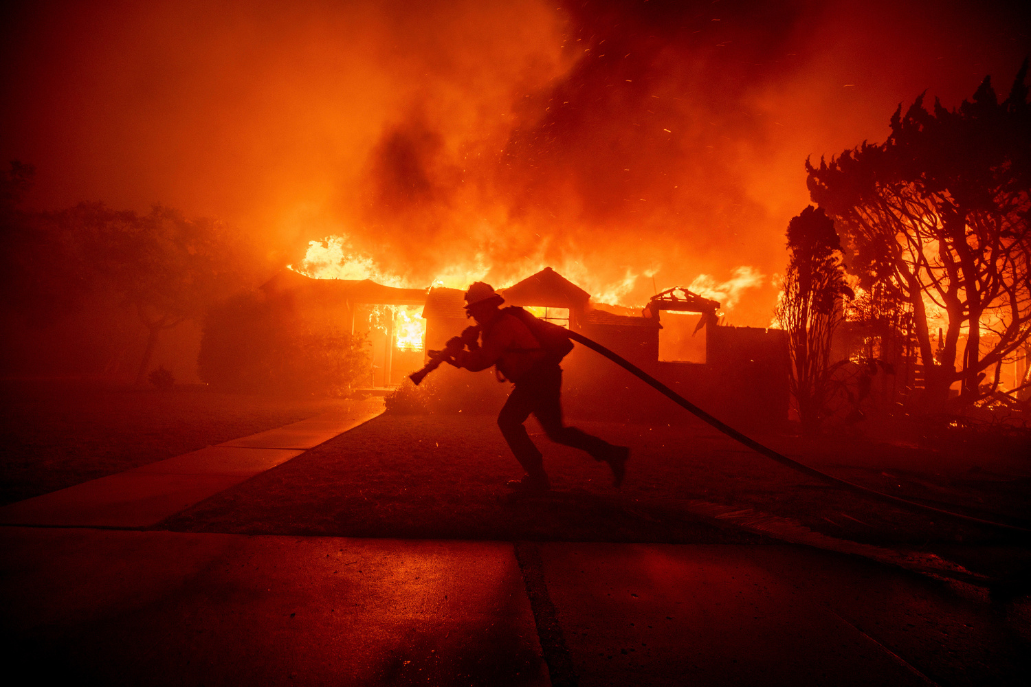
The Future of Fire Tech: A Preventative Digital Shield
As we look toward the future of what starts and stops fires in Los Angeles, the trend is moving toward a fully integrated “digital shield.” This involves the synthesis of all the aforementioned technologies into a single, cohesive dashboard.
The “Internet of Woods” is a concept where the forest itself is embedded with sensors that monitor humidity, temperature, and carbon dioxide levels. When integrated with a city’s smart grid and AI surveillance, this creates an environment where a “start” is not an inevitability, but a manageable data point.
The transition from traditional firefighting to a tech-centric model of fire management is not just a trend; it is a necessity for the survival of the Southern Californian urban landscape. By focusing on software precision, hardware durability, and AI-driven insights, Los Angeles is setting a global standard for how technology can mitigate one of nature’s most destructive forces. The question of “what started the fire” will increasingly be answered by the very technology designed to prevent it.
aViewFromTheCave is a participant in the Amazon Services LLC Associates Program, an affiliate advertising program designed to provide a means for sites to earn advertising fees by advertising and linking to Amazon.com. Amazon, the Amazon logo, AmazonSupply, and the AmazonSupply logo are trademarks of Amazon.com, Inc. or its affiliates. As an Amazon Associate we earn affiliate commissions from qualifying purchases.