
The sky above us, often perceived as an empty canvas, is in reality a bustling thoroughfare, a dynamic laboratory, and a silent observer. From the majestic sweep of a commercial airliner to the subtle dance of a weather balloon, and the silent orbit of a satellite, our atmosphere is teeming with objects. For centuries, identifying “what is flying above me” was largely a matter of visual observation, limited to what the naked eye could discern. Today, thanks to a revolution in technology, we possess an unprecedented ability to pierce through the blue, transforming the invisible into the visible and satisfying our innate curiosity about the aerial ballet unfolding high above. This article delves into the technological marvels that allow us to monitor, track, and understand the myriad objects traversing our skies, bringing a new dimension to our everyday perception of the world.

The Digital Eye in the Sky: Unpacking Aerial Identification Technologies
The transformation from rudimentary observation to sophisticated aerial awareness is rooted in a fascinating array of interconnected technologies. These systems, ranging from ground-based radar to space-borne satellites and advanced artificial intelligence, work in concert to paint a comprehensive picture of our airspace. Understanding these foundational technologies is key to appreciating how we now perceive the once-mysterious expanse above us.
ADS-B and Transponder Systems: The Backbone of Air Traffic
At the heart of modern air traffic control and public flight tracking lies Automatic Dependent Surveillance-Broadcast (ADS-B). This technology revolutionizes aircraft identification by allowing aircraft to broadcast their position, altitude, speed, and other data directly to ground stations and other aircraft. Unlike traditional radar, which actively “pings” for a return signal, ADS-B is a “push” system, constantly transmitting. Aircraft are equipped with transponders that respond to interrogations from radar, but ADS-B goes a step further by autonomously broadcasting detailed flight information. This open transmission of data is what powers popular flight tracking apps, enabling anyone with a receiver or an internet connection to see the real-time movement of ADS-B-equipped planes. It dramatically improves situational awareness for pilots and air traffic controllers, making the skies safer and more transparent.
Radar and Satellite Networks: Beyond Line of Sight
While ADS-B is crucial for many aircraft, radar remains an indispensable tool, especially for military and older commercial aircraft not fully equipped with ADS-B, or in areas where ADS-B ground station coverage is sparse. Primary radar emits radio waves that bounce off an object and return, providing its position and speed. Secondary radar, on the other hand, interrogates an aircraft’s transponder, which then replies with identifying information. Beyond ground-based systems, satellite networks play an increasingly vital role. Low Earth Orbit (LEO) satellites equipped with ADS-B receivers can pick up signals from aircraft over oceans and remote areas, extending tracking capabilities far beyond the reach of terrestrial radar. These satellite constellations are critical for global air traffic management and contribute significantly to our comprehensive understanding of airborne activity across the planet.
AI and Machine Learning: Enhancing Object Recognition
The sheer volume of data generated by ADS-B, radar, and satellite systems would be overwhelming without advanced computational tools. Artificial Intelligence (AI) and Machine Learning (ML) are becoming indispensable for processing this data, identifying patterns, and even predicting movements. AI algorithms can differentiate between various types of aircraft, detect anomalies that might indicate distress, or even identify unauthorized drone activity in restricted airspace. ML models are trained on vast datasets of flight trajectories, radar signatures, and even visual cues to improve the accuracy and speed of object recognition. Furthermore, AI is crucial in fusing data from disparate sources – combining radar returns with ADS-B transmissions, satellite imagery, and even meteorological data – to create a unified, real-time picture of the airspace, identifying everything from commercial flights to atmospheric phenomena with unprecedented precision.
Everyday Objects, Extraordinary Tech: What You Can Spot
With these powerful technologies at our disposal, the question “what is flying above me?” yields a remarkably diverse range of answers. Our skies are a complex ecosystem, traversed by objects designed for commerce, recreation, research, and national security. Modern tracking technologies allow us to differentiate and categorize these aerial inhabitants, revealing the intricate tapestry of activity overhead.
Commercial and Private Aircraft: A Symphony of Schedules
The most common aerial residents are undoubtedly commercial airliners and private jets. Thanks to ADS-B and satellite tracking, these aircraft are largely transparent. Flight tracking applications present their routes, altitudes, speeds, origins, and destinations in real-time. We can observe the intricate dance of international flights crossing continents, regional jets connecting cities, and the specific flight paths designed to optimize fuel efficiency and avoid turbulence. Private jets, while sometimes less openly trackable depending on their transponder settings and owner preferences, often utilize the same tracking infrastructure. The ability to monitor these flights offers a fascinating insight into global connectivity, logistical networks, and the precise orchestration required to manage thousands of aircraft safely in shared airspace every single day.
The Proliferation of Drones: From Hobby to Enterprise
The past decade has witnessed an explosion in drone technology, fundamentally changing the landscape of low-altitude airspace. From recreational quadcopters piloted by hobbyists to sophisticated unmanned aerial vehicles (UAVs) used for professional photography, package delivery, infrastructure inspection, and precision agriculture, drones are ubiquitous. Tracking these smaller craft presents unique challenges. Many consumer drones do not broadcast ADS-B signals, making them invisible to traditional air traffic control. However, emerging technologies like “Remote ID” are being implemented, requiring drones to broadcast their location and operator information via Wi-Fi or Bluetooth, making them identifiable to authorized parties. Advanced radar systems, acoustic sensors, and optical detection methods, often augmented by AI, are also being developed and deployed to monitor drone activity, especially near critical infrastructure or airports, ensuring safe integration into the national airspace.
Satellites, Balloons, and Unconventional Craft: Beyond Earth’s Grasp
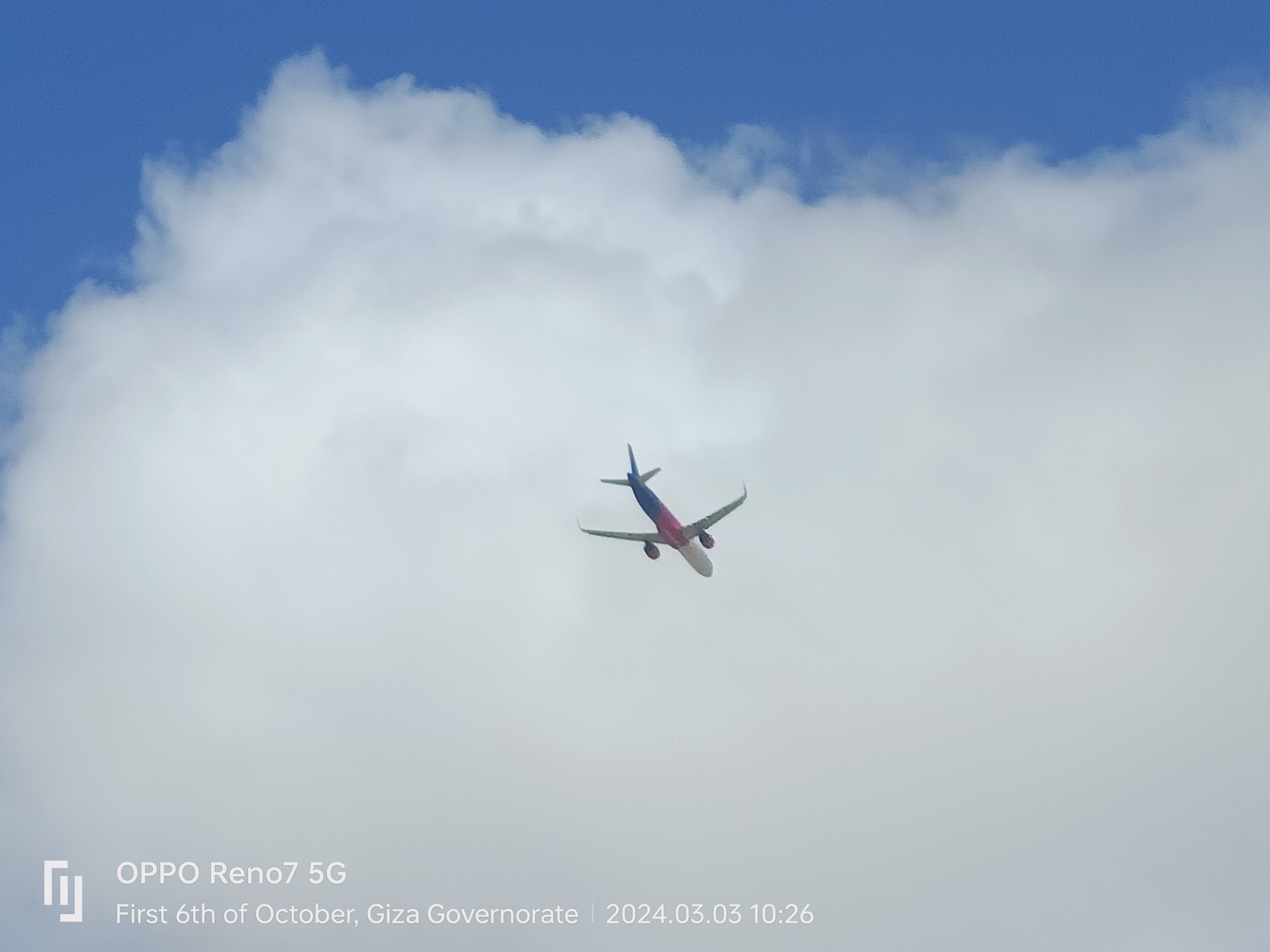
Beyond the realm of traditional aircraft and drones, the skies host a variety of less conventional, yet equally fascinating, objects. Satellites, though often too high to be considered “flying above me” in the atmospheric sense, are certainly above us. Dedicated satellite tracking apps leverage orbital mechanics data to predict their visible passes, allowing skywatchers to spot the International Space Station, Starlink constellations, or other low-Earth orbit satellites. Closer to home, weather balloons, often equipped with radiosondes for atmospheric data collection, silently drift through the stratosphere, carried by prevailing winds. Scientific research balloons, some as large as stadiums, ascend to the edge of space for extended missions. Furthermore, military and research organizations sometimes deploy high-altitude surveillance platforms or experimental aircraft, whose presence may be less publicly known or trackable due to their specialized nature, but which are still part of the comprehensive aerial picture maintained by national security and scientific agencies.
Empowering the Public: Tools and Apps for Skywatchers
The sophisticated technologies for aerial identification are not confined to government agencies or large corporations. A wealth of tools and applications has emerged, democratizing access to this information and empowering the curious public to become active skywatchers. These user-friendly platforms translate complex data into easily understandable visuals, bridging the gap between advanced technology and everyday curiosity.
Flight Tracking Applications: Your Personal Air Traffic Controller
Perhaps the most popular and accessible tools for understanding what’s overhead are flight tracking applications. Services like FlightAware, FlightRadar24, and Plane Finder aggregate ADS-B data from a global network of receivers, alongside radar and satellite information, to provide real-time updates on commercial and many private flights. Users can see an aircraft’s exact position, altitude, speed, flight number, aircraft type, origin, and destination. These apps often include historical flight data, airport arrival/departure boards, and even 3D views of flights. They transform a simple glance at the sky into an informed observation, allowing anyone to identify a specific aircraft, understand its trajectory, and even follow its entire journey, effectively placing a personal air traffic control screen in the palm of their hand.
Satellite Trackers and Astronomical Apps: Exploring the Cosmos
For those whose curiosity extends beyond the atmosphere, specialized satellite tracking applications provide an equally engaging experience. Apps such as ISS Detector, Heavens-Above, and Star Walk leverage precise orbital data to predict when satellites, including the International Space Station (ISS), the Hubble Space Telescope, or entire constellations like Starlink, will be visible from your location. These apps account for light pollution and weather conditions, offering optimal viewing times and directions. By overlaying celestial bodies and man-made objects onto a real-time sky map, they connect the ground-level observer to the vastness of space, allowing users to track the intricate dance of artificial celestial bodies silently orbiting our planet, many of which are crucial for our modern communication and navigation systems.
Citizen Science and Community Reporting: Collective Sky Surveillance
Beyond commercial applications, the public also contributes to aerial awareness through citizen science initiatives and community reporting. Platforms like “Skywarn” (for weather spotters) or forums dedicated to unidentified aerial phenomena (UAP) sightings allow individuals to report their observations, sometimes using basic tools like binoculars or telescopes, or even sophisticated home-built radar systems. While often informal, these collective efforts can provide valuable ground-level data, especially for less trackable objects or unusual occurrences. The integration of community-contributed data with professional systems, though challenging, offers a potential avenue for a more comprehensive and distributed network of sky surveillance, leveraging the eyes and ears of countless individuals augmented by increasingly accessible technology.
Navigating the Ethical and Regulatory Landscape
The enhanced ability to track and identify “what is flying above me” brings with it significant implications, particularly concerning privacy, security, and the regulation of our increasingly crowded airspace. As technology advances, the boundaries between public knowledge and individual rights become more nuanced, necessitating careful consideration and robust regulatory frameworks.
Privacy Concerns in an Increasingly Monitored Sky
The widespread availability of flight tracking data, while beneficial for general awareness, also raises privacy concerns. While commercial aircraft are generally considered public entities, the tracking of private jets, especially those belonging to high-profile individuals, can lead to debates about personal privacy versus public access to information. More acutely, the proliferation of drones equipped with high-resolution cameras has introduced new dimensions to surveillance. Drones can capture imagery of private property and individuals without consent, leading to calls for stricter regulations on drone operation and data collection. The balance between allowing technological innovation and protecting individual privacy is a continuous challenge, requiring ongoing dialogue and policy adjustments to ensure that the “digital eye in the sky” respects fundamental rights.
Airspace Regulations and Drone Laws: Keeping the Skies Safe
To manage the ever-growing volume and diversity of aerial traffic, robust airspace regulations are paramount. Air traffic control agencies worldwide enforce strict rules governing flight paths, altitudes, and communication protocols for manned aircraft. The emergence of drones has necessitated the creation of entirely new regulatory frameworks. Drone laws vary significantly by country and region, often addressing issues such as maximum flight altitude, proximity to airports and restricted areas, requirements for operator licensing, and rules for flying over people or private property. The implementation of “Remote ID” for drones is a technological solution designed to enable authorities to identify drones and their operators, enhancing accountability and facilitating enforcement. These regulations are crucial for preventing collisions, protecting sensitive areas, and maintaining public safety in the lower airspace.

The Future of Urban Air Mobility and Unmanned Systems Integration
Looking ahead, the development of Urban Air Mobility (UAM) promises a future where passenger-carrying drones (eVTOLs) and autonomous cargo delivery systems become a common sight in our cities. This vision presents immense technological and regulatory hurdles. Integrating a dense network of autonomous air vehicles into existing manned aircraft airspace, particularly in urban environments, requires highly sophisticated air traffic management systems, often relying on AI for real-time routing, collision avoidance, and dynamic airspace allocation. Establishing clear regulatory pathways for certification, operation, and public acceptance of these new forms of aerial transport is a critical undertaking. The evolution of drone technology and the advent of UAM will necessitate an entirely new paradigm for understanding and managing “what is flying above me,” pushing the boundaries of technological innovation and regulatory foresight.
In conclusion, the simple question “what is flying above me?” has evolved from a matter of fleeting curiosity into an intricate exploration powered by cutting-edge technology. From ADS-B transponders and global radar networks to AI-driven object recognition and user-friendly mobile applications, we now possess an unprecedented ability to monitor, analyze, and understand the dynamic tapestry of our skies. This technological leap has not only demystified the overhead world but also opened new frontiers for commerce, research, and public engagement. As we continue to innovate, addressing challenges related to privacy, regulation, and the integration of new aerial vehicles, the skies above us will undoubtedly become even more transparent, allowing us to witness and interact with the invisible aerial world in ways we are only just beginning to imagine.
aViewFromTheCave is a participant in the Amazon Services LLC Associates Program, an affiliate advertising program designed to provide a means for sites to earn advertising fees by advertising and linking to Amazon.com. Amazon, the Amazon logo, AmazonSupply, and the AmazonSupply logo are trademarks of Amazon.com, Inc. or its affiliates. As an Amazon Associate we earn affiliate commissions from qualifying purchases.