
In the traditional academic sense, the five themes of geography—Location, Place, Human-Environment Interaction, Movement, and Region—have long served as a framework for understanding how the world is organized. However, in the modern era, these themes have migrated from the printed page of a textbook into the core architecture of our global technology stack. Today, geography is no longer just about maps; it is about the data, software, and hardware that allow us to perceive, navigate, and manipulate our physical reality.
From the GPS sensors in our smartphones to the complex algorithms driving autonomous vehicles, the five themes of geography have become the foundational pillars of geospatial technology. Understanding these themes through a technological lens reveals how software engineers, data scientists, and hardware developers are rebuilding the world in digital form.
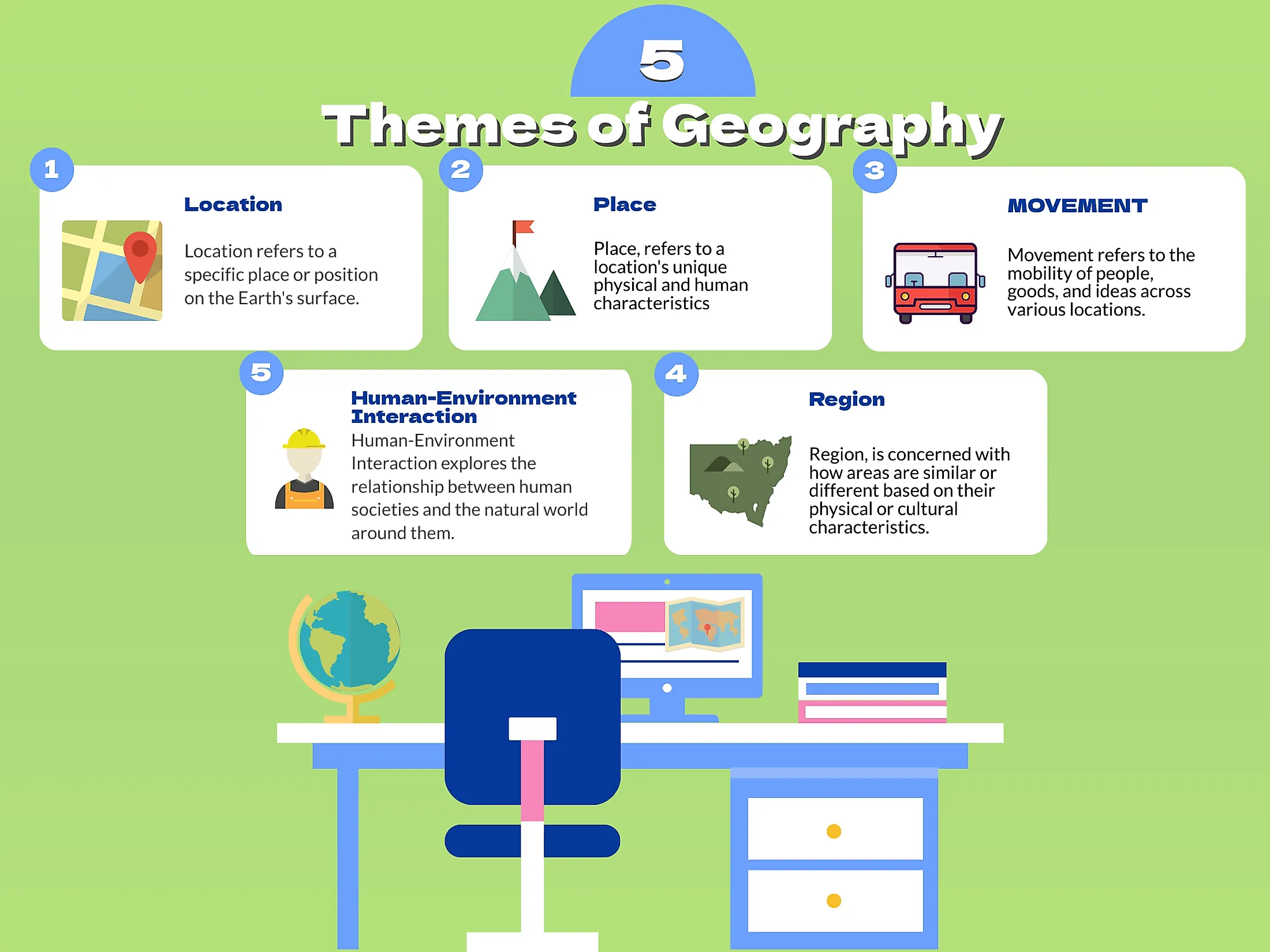
1. Location: The Evolution of Geospatial Positioning
The first theme, Location, is perhaps the most obvious bridge between traditional geography and modern technology. Traditionally divided into absolute and relative location, this concept has undergone a massive digital upgrade. In the tech world, “location” is the primary key that unlocks specialized services, security protocols, and logistical efficiencies.
The Precision Revolution: GNSS and RTK Technology
Absolute location is now defined by coordinates provided by Global Navigation Satellite Systems (GNSS), such as GPS (USA), GLONASS (Russia), Galileo (EU), and BeiDou (China). While standard GPS was once accurate to within several meters, the advent of Real-Time Kinematic (RTK) positioning has pushed this precision to the centimeter level.
This technological leap is essential for the burgeoning field of autonomous systems. Self-driving cars, delivery drones, and automated farm equipment rely on high-precision location data to navigate environments where a few inches of error could result in catastrophe. The software layers managing these signals must filter out atmospheric interference and “multipath” errors (signals bouncing off buildings) to maintain a constant, hyper-accurate lock on a device’s absolute location.
Geofencing and the Personalization of Digital Space
Relative location—describing where something is in relation to other landmarks—has been digitized through “geofencing.” This software-defined boundary allows developers to trigger specific actions when a device enters or leaves a certain area. For example, a retail app might send a promotional notification when a user is within 500 meters of a storefront, or a smart home system might deactivate an alarm as a user’s vehicle approaches the driveway.
This tech-driven interpretation of relative location creates a “context-aware” digital experience. By understanding a user’s location relative to points of interest, businesses can provide hyper-relevant data, effectively turning the physical world into a clickable interface.
2. Place: Beyond Physicality Through Digital Twins and XR
While “Location” tells us where something is, “Place” describes the physical and human characteristics that make a location unique. In the tech sector, this theme is being explored through the creation of Digital Twins and Extended Reality (XR) environments.
Digital Twins: Mirroring the Physical World in Real-Time
A Digital Twin is a virtual representation of a physical object or space, updated with real-time data from sensors. This technology allows urban planners and engineers to study a “place” without being physically present. By integrating Building Information Modeling (BIM) with real-time IoT (Internet of Things) feeds, a city’s Digital Twin can show temperature fluctuations, pedestrian traffic patterns, and structural stresses on bridges.
This digital manifestation of “Place” allows for predictive modeling. Tech firms use these models to simulate how a new skyscraper might affect wind patterns or how a natural disaster might impact a specific neighborhood’s power grid. The “character” of a place is no longer a static description; it is a dynamic, data-driven profile.
Augmented Reality and the Contextualization of Space
Augmented Reality (AR) technology overlays digital information onto our physical surroundings, effectively changing our perception of “Place.” When a user looks through an AR headset or a smartphone camera, the software identifies landmarks and provides historical data, architectural details, or navigation cues.
This tech interprets the “human characteristics” of geography—such as culture and history—and makes them accessible via software. For developers, the challenge lies in “spatial mapping,” which is the ability of a device to understand the geometry of a room or a streetscape. This allows digital objects to interact with the physical world realistically, blurring the lines between the geographic reality and the digital overlay.
3. Human-Environment Interaction: Leveraging IoT and Green Tech
The third theme, Human-Environment Interaction, focuses on how humans adapt to, modify, and depend on the environment. In the contemporary tech landscape, this relationship is increasingly mediated by software designed to optimize resource usage and mitigate environmental impact.
Precision Agriculture and Resource Optimization
One of the most profound examples of tech-driven Human-Environment Interaction is precision agriculture. Farmers use satellite imagery, soil sensors, and AI-driven analytics to understand the specific needs of every square meter of their land. Instead of applying water and fertilizer uniformly, technology allows for “variable rate application,” ensuring that resources are only used where they are needed.
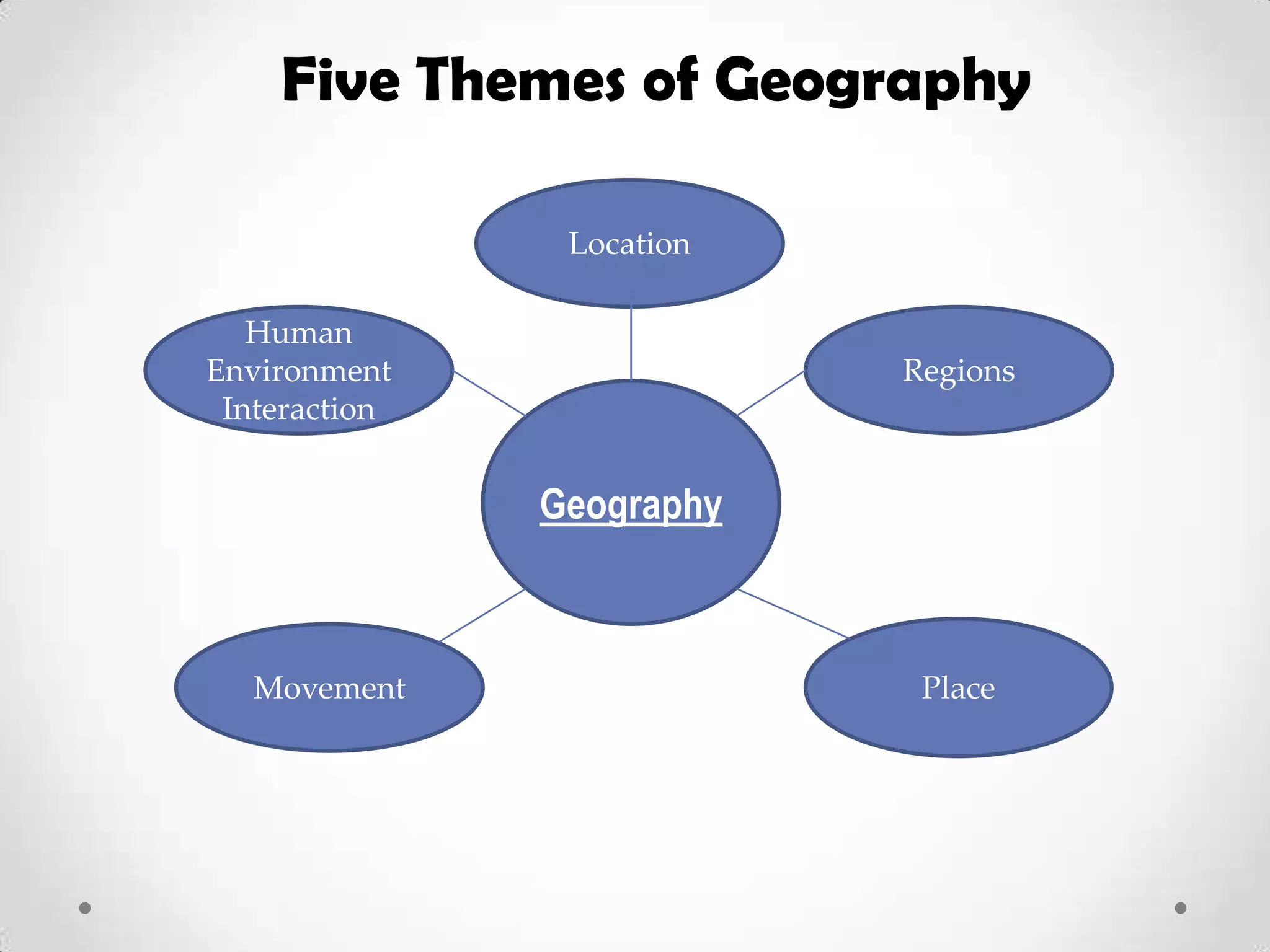
This modification of the environment is guided by data, reducing chemical runoff and conserving water. Software platforms act as the intermediary, translating environmental signals (soil moisture, nitrogen levels) into actionable commands for machinery. This represents a shift from a reactive relationship with the environment to a proactive, data-managed interaction.
Environmental Monitoring via Satellite Remote Sensing
As we grapple with climate change, technology has become our primary tool for monitoring how we modify the planet. Remote sensing satellites equipped with multispectral sensors track deforestation in the Amazon, methane leaks in oil fields, and the melting of polar ice caps.
Machine learning algorithms process these massive datasets to identify patterns that the human eye might miss. For tech companies, this is an exercise in “Environmental Intelligence.” By providing transparent, real-time data on the state of the earth, software becomes a tool for accountability, allowing governments and organizations to see the direct results of human interaction with the environment.
4. Movement: The Infrastructure of Global Connectivity
The theme of Movement concerns the translocation of people, goods, and ideas. While traditional geography focused on trade routes and migration patterns, modern technology focuses on the logistics of supply chains and the instantaneous movement of data across the globe.
Supply Chain Visibility and the Logistics Software Stack
The movement of physical goods is now governed by a sophisticated “logistics stack.” Technologies like RFID (Radio Frequency Identification), blockchain, and AI-driven route optimization ensure that products move from a factory in Shenzhen to a doorstep in New York with maximum efficiency.
Blockchain, in particular, has revolutionized the movement of goods by providing an immutable ledger of a product’s journey. This transparency ensures that “Movement” is not just about speed, but also about provenance and ethics. Tech platforms can now track the carbon footprint of a package’s movement, allowing consumers to make choices based on the environmental cost of logistics.
The Movement of Data: From Subsea Cables to Starlink
Perhaps the most significant form of movement in the 21st century is the movement of information. The global internet depends on a physical geography of subsea fiber-optic cables and terrestrial data centers. When you send an email or stream a video, data is moving geographically at nearly the speed of light.
Furthermore, satellite constellations like SpaceX’s Starlink are redefining the geography of connectivity. By placing thousands of small satellites in Low Earth Orbit (LEO), tech firms are bringing high-speed “movement of ideas” to the most remote corners of the planet. This eliminates the “digital divide,” where geographic isolation previously meant technological exclusion.
5. Regions: Data Analytics and GIS-Driven Segmentation
The final theme, Region, involves dividing the world into functional, formal, or perceptual units. In technology, the concept of “Region” is fundamental to cloud computing, market analysis, and the deployment of localized AI models.
Geographic Information Systems (GIS) as a Strategic Tool
GIS software is the ultimate tool for defining and analyzing regions. By layering different types of data—demographics, topography, infrastructure, and climate—on a single map, GIS allows organizations to identify “functional regions.” For example, a tech company might use GIS to determine the optimal location for a new data center based on regions with low seismic activity, proximity to renewable energy sources, and favorable tax laws.
This algorithmic approach to regionalization goes beyond simple borders. It identifies regions based on shared characteristics that might be invisible to the naked eye, such as areas with high concentrations of specific skill sets or regions most vulnerable to specific types of cyber threats.
Cloud Regions and Data Sovereignty
In the world of cloud computing (AWS, Azure, Google Cloud), the world is divided into “Regions” and “Availability Zones.” These are not just convenient labels; they are critical for latency and data sovereignty. Laws like the GDPR in Europe dictate that certain types of data must stay within a specific geographic region.
For software architects, choosing a “Region” is a technical decision that balances speed (ping times) with legal compliance. This highlights how geographic boundaries—once purely political—have become baked into the code and hardware configurations of the internet. The “Region” theme is now a core component of how the global web is partitioned and regulated.
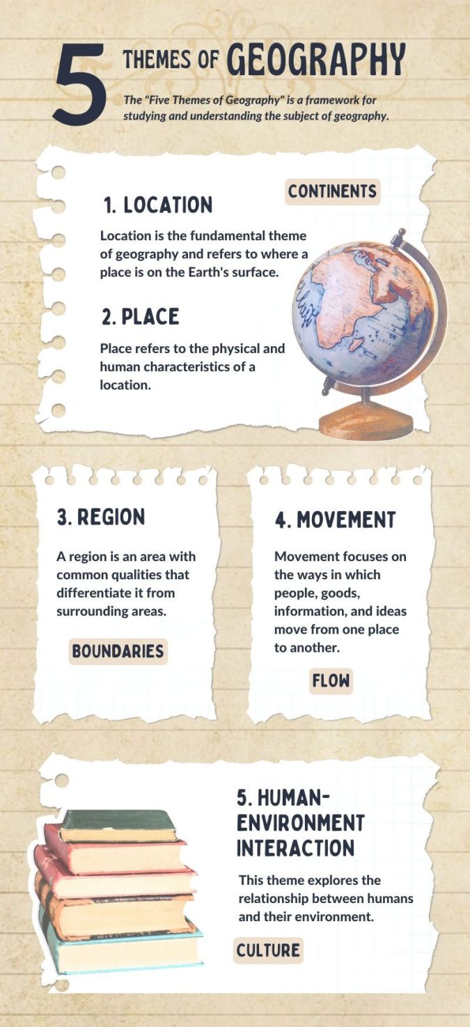
The Synthesis of Geography and Technology
As we look toward the future, the five themes of geography will continue to be the framework upon which we build our digital world. The integration of AI, spatial computing, and global connectivity means that our understanding of Location, Place, Interaction, Movement, and Region is becoming more nuanced and more powerful.
By mastering these themes, the tech industry is not just mapping the world—it is creating a searchable, programmable, and highly efficient version of it. Whether it is through the lens of a satellite, the sensor of an IoT device, or the code of a GIS platform, geography remains the fundamental context for all human innovation. In the intersection of these two fields, we find the roadmap for the next century of technological advancement.
aViewFromTheCave is a participant in the Amazon Services LLC Associates Program, an affiliate advertising program designed to provide a means for sites to earn advertising fees by advertising and linking to Amazon.com. Amazon, the Amazon logo, AmazonSupply, and the AmazonSupply logo are trademarks of Amazon.com, Inc. or its affiliates. As an Amazon Associate we earn affiliate commissions from qualifying purchases.