
Understanding the landscape of local development is crucial for residents, businesses, and investors alike. Whether you’re tracking potential impacts on property value, monitoring neighborhood changes, or simply curious about your surroundings, the digital age offers a wealth of tools to uncover ongoing and planned construction projects. Gone are the days when such information was confined to dusty municipal archives or obscure public notices. Today, technology empowers individuals to tap into vast data streams, leveraging everything from satellite imagery to AI-driven insights to stay informed about the evolving urban and suburban fabric.

Leveraging Digital Mapping and Geospatial Platforms
One of the most immediate and visually intuitive ways to discover nearby construction is through advanced digital mapping and geospatial technologies. These platforms provide a bird’s-eye view, often updated with remarkable frequency, revealing changes that are otherwise imperceptible from ground level.
Google Maps and Street View for Initial Reconnaissance
Google Maps, a ubiquitous tool, offers more than just navigation. Its satellite view can be an invaluable first step in identifying new construction. By toggling to satellite mode and zooming into your area, you can often spot cleared land, foundations being laid, or structures in various stages of completion. The historical imagery feature, available on desktop versions, allows users to scroll through past satellite images, providing a timeline of development in a specific location. This temporal comparison can definitively show where new structures have emerged or where significant groundworks have begun.
Furthermore, Google Street View provides ground-level photographic panoramas. While not updated as frequently as satellite imagery, it can offer a closer look at areas already under construction, potentially revealing signage from developers or contractors, which can be critical for further investigation. For areas with frequent updates, Street View can sometimes capture ongoing activity, providing context that satellite views might miss.
Specialized GIS Platforms and Public Portals
Beyond consumer-grade mapping, Geographic Information Systems (GIS) represent a more professional-grade approach to spatial data. Many local and regional governments maintain public-facing GIS portals. These platforms often overlay various data layers onto a map interface, including zoning information, property lines, utility infrastructure, and crucially, active development permits or planning applications.
Accessing these municipal GIS portals typically involves searching your local city or county planning department website. Users can input an address or pan across a map to identify specific parcels. Clicking on a property often reveals detailed information, including ownership, assessed value, zoning designation, and any associated permits or development proposals. These platforms are typically robust, allowing for filtering by project type, status (approved, pending, under construction), or date, making them powerful tools for comprehensive research.
High-Resolution Satellite and Drone Imagery Providers
For more frequent and detailed updates than standard free services provide, specialized satellite imagery providers offer commercial solutions. Companies like Maxar Technologies or Planet Labs deploy constellations of satellites that capture high-resolution images of the Earth daily or even multiple times a day. While direct subscriptions might be geared towards businesses, their data often feeds into other analytics platforms or news services that can be publicly accessible.
Additionally, local drone photography services are increasingly being utilized by developers, construction companies, and even real estate agencies. While not a direct tool for the public to “find out,” publicly shared drone footage on developer websites, local news sites, or community social media groups can provide highly detailed and up-to-date visual information about specific projects. Keeping an eye on local development firm websites or their project showcase pages can sometimes yield these insights.
Harnessing Government and Public Data Portals
The primary source for official construction information is almost always government agencies. The digital transformation of public services has made much of this data accessible online, providing transparency into the planning and permitting process.
Local Planning and Zoning Department Websites
Every municipality and county has a planning or zoning department responsible for overseeing land use and development. Their websites are treasure troves of information. Here you will find comprehensive plans, zoning ordinances, development guidelines, and critically, public notices for proposed projects. These notices often include detailed project descriptions, architectural renderings, environmental impact assessments, and schedules for public hearings.
Navigating these sites can sometimes require persistence, but most now feature search functions where you can look up projects by address, developer, or even a specific application number. It’s advisable to regularly check the “public notices,” “current projects,” or “development applications” sections of these websites, as they are updated as new proposals are submitted or existing ones move through the approval process.
Online Permitting and Building Safety Systems
Once a project moves beyond the planning phase, it enters the permitting and inspection stage. Local building departments utilize online permitting systems that allow contractors and developers to apply for and track various permits (e.g., building, electrical, plumbing). Many of these systems offer public search functionalities. By entering an address, you can typically see a list of all permits issued for that property, their status, and sometimes even inspection results.

These systems provide real-time updates on what specific work is authorized and underway. They often detail the scope of work, estimated costs, and the names of the licensed contractors involved. This level of detail can confirm not just that something is being built, but what kind of construction it is (e.g., a new commercial building, a residential addition, utility upgrades).
Open Data Initiatives
Beyond specific departmental portals, many progressive cities and regions are adopting “open data” initiatives. These platforms centralize various datasets collected by the government and make them available to the public in machine-readable formats. While primarily aimed at developers and researchers, these datasets can include information on building permits, code violations, property sales, and even demographic trends.
Tools exist that can interpret and visualize this open data, often created by civic tech groups or data journalists. Searching for “[Your City/County Name] Open Data Portal” can lead you to these resources. While they might require a bit more technical comfort to extract insights, they offer a holistic view of urban development.
Utilizing Dedicated Apps and Online Services
The private sector has also stepped in, offering specialized applications and online services that aggregate, analyze, and present construction data in user-friendly formats, often with additional features not found in government portals.
Real Estate and Development Tracking Apps
Several commercial platforms and apps are designed to track real estate development. While some are subscription-based and cater to industry professionals, others offer free tiers or publicly accessible project databases. These services often consolidate information from multiple municipal sources, add proprietary data, and provide visually appealing dashboards or map interfaces. They might offer features like project alerts, investor insights, and contact information for developers. Examples include local variations of commercial real estate databases, or apps focused on new construction listings that pre-emptively show projects under design or approval.
Community Engagement Platforms and Local Media
Platforms like Nextdoor, local Facebook groups, and even specific community-focused apps serve as digital town squares where residents discuss local issues, including new developments. While not always officially verified, these platforms can be an early warning system for proposed projects, as residents often share public notices, photos, or anecdotal observations. Monitoring these spaces can provide qualitative insights and reveal community sentiment towards a project, which can influence its trajectory.
Local news websites and their associated apps are also critical. Many local news outlets have dedicated sections for “local development,” “city planning,” or “real estate news.” Subscribing to their newsletters or setting up news alerts for keywords like “construction,” “development,” and your neighborhood name can ensure you receive timely updates on major projects as they are announced or progress.
Advanced Techniques: AI and Predictive Analytics
For those seeking deeper insights or comprehensive monitoring, emerging technologies like Artificial Intelligence (AI) and predictive analytics are beginning to offer powerful new capabilities.
AI-powered News Monitoring and Sentiment Analysis
AI algorithms can continuously scan vast amounts of online data – news articles, public documents, social media, and forum discussions – to identify mentions of construction projects. These tools can not only flag new developments but also gauge public sentiment surrounding them, helping to anticipate potential community opposition or support. While often used by developers or public relations firms, some open-source AI tools or advanced search engine techniques can be adapted for personal use to track specific keywords related to development in your area.
Predictive Urban Development Models
Some research institutions and specialized firms are developing AI models that analyze historical growth patterns, zoning changes, economic indicators, and demographic shifts to predict where future development is most likely to occur. These models can identify “hotspots” for potential construction even before any official plans are submitted. While not widely available to the public as a direct tool, the insights from such models often inform city planning documents or appear in economic forecasts, which are publicly accessible.
Geospatial Data Analysis Tools
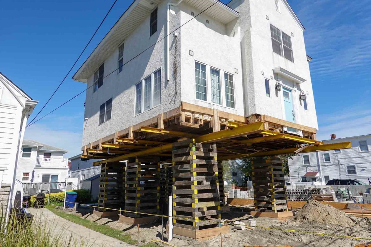
Combining GIS data with machine learning, geospatial data analysis tools can identify anomalies in satellite imagery, such as sudden land clearing or changes in ground elevation, which might indicate the very early stages of construction activity before permits are even filed. These sophisticated tools can process massive datasets to detect subtle shifts in the landscape that human observation might miss, offering a truly proactive approach to monitoring local development.
By strategically employing these diverse technological resources, from readily available mapping services to specialized government portals and cutting-edge AI tools, anyone can gain a comprehensive understanding of what is being built in their vicinity. Staying informed empowers better decision-making, whether for personal investment, community engagement, or simply satisfying curiosity about the evolving world outside your door.
aViewFromTheCave is a participant in the Amazon Services LLC Associates Program, an affiliate advertising program designed to provide a means for sites to earn advertising fees by advertising and linking to Amazon.com. Amazon, the Amazon logo, AmazonSupply, and the AmazonSupply logo are trademarks of Amazon.com, Inc. or its affiliates. As an Amazon Associate we earn affiliate commissions from qualifying purchases.