
The quest to witness a sunrise from the summit of Haleakalā or the shores of Wailea is no longer a matter of mere guesswork or local folklore. In the modern era, the question of “what time is sunrise in Maui” is answered through a sophisticated intersection of astronomical algorithms, geospatial data, and high-performance mobile applications. For the tech-savvy traveler and the professional photographer, timing the dawn is an exercise in digital precision. Understanding the underlying technology that powers these predictions—and the hardware used to capture the resulting light—is essential for optimizing the experience of the “Golden Hour” in one of the world’s most unique geographic locations.

The Algorithmic Precision of Solar Tracking
To accurately determine the exact second the sun breaks the horizon in Maui, developers and data scientists rely on complex astronomical models. These models are not static; they account for the Earth’s axial tilt, orbital eccentricity, and the specific coordinates of the observer.
The Role of Ephemeris Data
At the heart of every weather app and GPS device is ephemeris data. An ephemeris is a mathematical table providing the positions of celestial bodies in the sky at given times. Modern software uses the Jean Meeus algorithms, which are the industry standard for calculating solar positions with high accuracy. These formulas consider the Gregorian calendar, Julian dates, and Universal Time (UT) to provide a localized output. Because Maui sits at approximately 20.7 degrees North latitude, the sun’s path varies significantly between the summer and winter solstices. Technology allows us to calculate these shifts down to the millisecond, ensuring that a user at the top of a 10,000-foot volcano knows exactly when to trigger their shutter.
Atmospheric Refraction and Elevation Corrections
One of the most impressive technical feats in modern sunrise prediction is the accounting for atmospheric refraction and elevation. The standard sunrise time listed on a basic search engine often assumes a sea-level horizon. However, Maui’s diverse topography—ranging from coastal beaches to high-altitude peaks—requires more granular data.
Advanced applications utilize Digital Elevation Models (DEMs) to adjust the “apparent sunrise.” When you are at the summit of Haleakalā, you are effectively seeing the sun several minutes before a person at sea level because of your height above the horizon. Furthermore, the atmosphere acts as a lens, bending light and making the sun appear to rise before it actually crosses the geometric horizon. Sophisticated software accounts for pressure and temperature variables to correct for this refractive effect, providing a “true” visual time for the user.
The Digital Toolkit: Essential Apps for Timing the Dawn
For those navigating Maui’s early mornings, the smartphone is the primary tool for data visualization. A variety of specialized apps have moved beyond simple time-keeping to provide immersive, data-rich environments for planning the perfect viewing experience.
Augmented Reality and Sun Path Visualization
Apps like PhotoPills and The Photographer’s Ephemeris (TPE) have revolutionized how we interact with solar data. Using the device’s built-in magnetometer, gyroscope, and accelerometer, these apps offer an Augmented Reality (AR) mode. By pointing the camera at the Maui landscape, users can see a digital overlay of the sun’s exact trajectory across the sky for any date. This allows for “pre-scouting” a location. If you are standing on a beach in Kapalua, the AR view will show you exactly which rock formation the sun will emerge behind, allowing for precise tripod placement long before the first light appears.
Meteorological Modeling and Cloud Prediction
Knowing the time of sunrise is only half the battle; one must also know if the sun will be visible. Tech-driven travelers utilize high-resolution weather modeling apps like Windy.com or Ventusky. These platforms pull data from the Global Forecast System (GFS) and the European Centre for Medium-Range Weather Forecasts (ECMWF).
In Maui, the microclimates are notorious for shifting rapidly. Software that offers “Meteograms”—graphical representations of cloud cover at different altitudes (low, medium, and high clouds)—is invaluable. High-altitude clouds often catch the pre-dawn light, creating vibrant pinks and reds, while heavy low-level clouds might obscure the sun entirely. By analyzing satellite imagery and infrared data streams, users can make data-driven decisions on whether to drive to the summit or stay on the coast.
High-Performance Hardware: Engineering for High Dynamic Range
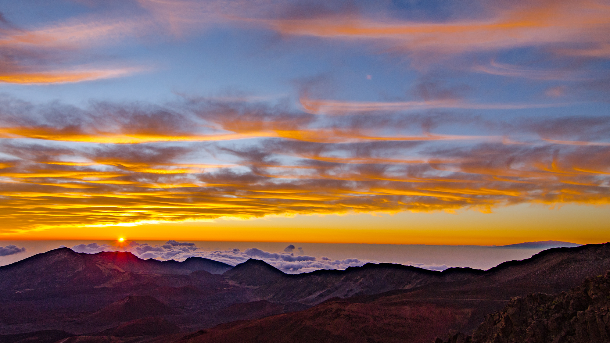
Once the technology has guided the user to the right place at the right time, the focus shifts to the hardware required to capture the high-contrast environment of a Maui sunrise. The transition from total darkness to the intense brightness of the sun presents a significant challenge for digital sensors.
CMOS Sensor Technology and Dynamic Range
The latest generation of CMOS (Complementary Metal-Oxide-Semiconductor) sensors found in mirrorless cameras and high-end smartphones is engineered to handle extreme Dynamic Range (DR). During a sunrise, the difference in brightness between the shadowed volcanic rock and the sun’s disk can exceed 15 stops of light.
Modern sensors utilize “Dual Native ISO” and back-illuminated structures to reduce noise in the shadows while preserving detail in the highlights. For the professional, the ability to shoot in 14-bit or 16-bit RAW formats is critical. This digital “negative” contains a massive amount of data, allowing post-processing software like Adobe Lightroom or Capture One to recover details that would otherwise be lost in a standard JPEG compression.
Computational Photography and Multi-Frame Synthesis
For those using mobile devices, the “time of sunrise” is handled by sophisticated AI-driven computational photography. When a user takes a photo of a Maui sunrise on a flagship smartphone, the device isn’t taking a single image. Instead, it captures a burst of frames at different exposure levels.
The onboard Neural Engine or Image Signal Processor (ISP) uses machine learning to align these frames and merge them into a single High Dynamic Range (HDR) image. This process happens in milliseconds. The technology identifies the sun as a “light source” and applies specific tone-mapping algorithms to ensure the sky remains colorful while the foreground is properly exposed. This is a feat of software engineering that mimics the way the human eye perceives light, something that was impossible for digital cameras only a decade ago.
IoT and the Infrastructure of Maui’s Environmental Data
The information we consume regarding Maui’s sunrise is supported by a robust infrastructure of Internet of Things (IoT) devices and remote sensing stations distributed across the island. These systems provide the real-time data that feeds into the global network.
Automated Weather Stations (AWS) and Telemetry
The University of Hawaii and various federal agencies maintain a network of Automated Weather Stations across Maui’s diverse terrain. These stations utilize telemetry to send updates on humidity, visibility, and wind speed via satellite or cellular links. For the tech community, this data is often accessible via APIs (Application Programming Interfaces). Developers can tap into these streams to build custom alerts or integrations, such as a smart home system that adjusts interior lighting based on the actual measured light levels of the Maui dawn.
The Role of the Maui High Performance Computing Center (MHPCC)
Maui is home to one of the world’s most powerful computing facilities, the MHPCC, managed by the Air Force Research Laboratory. While its primary mission involves space surveillance and atmospheric modeling for defense, the presence of such high-level computing power on the island underscores the technical importance of Maui’s atmospheric conditions. The data processed here contributes to a deeper understanding of atmospheric turbulence and light transmission, which indirectly improves the accuracy of the optical and meteorological models used by the general public.
Digital Security and Remote Access
In an era where remote work and digital nomadism are prevalent, technology also provides ways to experience the Maui sunrise without being physically present. However, this raises important considerations regarding digital security and data privacy.
Live Streaming and Low-Latency Video
High-definition webcams are positioned at various vantage points across Maui, from the hotels of Ka’anapali to the research facilities on Haleakalā. These streams rely on H.264 or H.265 video compression and low-latency content delivery networks (CDNs) to broadcast the sunrise to a global audience. For developers managing these streams, ensuring the security of the IoT cameras is paramount. Unsecured cameras can be vulnerable to botnets or unauthorized access, making robust encryption and secure firmware updates a necessity for the hospitality brands that host these digital windows to the island.
The Integration of Geofencing and Reservation Systems
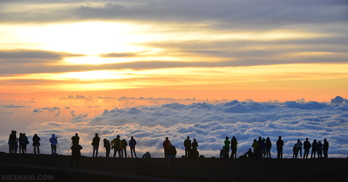
Due to the popularity of the Haleakalā sunrise, the National Park Service has implemented a digital reservation system. This is a prime example of tech-based crowd management. The system uses geofencing and real-time database management to limit the number of vehicles allowed at the summit. For the user, this means interacting with a secure web portal (Recreation.gov) where data encryption (SSL/TLS) protects personal and payment information. The shift from “first-come, first-served” to a digital-first reservation model highlights how technology is used to preserve natural environments through regulated access.
The question of “what time is sunrise in Maui” is the starting point of a deep dive into the technology of the 21st century. From the astronomical algorithms that predict the sun’s path to the AI that renders the final image on a screen, every aspect of the experience is mediated by digital innovation. By mastering these tools, we do more than just see the light; we understand the complex systems that allow us to predict, capture, and share the beauty of the natural world with unprecedented precision.
aViewFromTheCave is a participant in the Amazon Services LLC Associates Program, an affiliate advertising program designed to provide a means for sites to earn advertising fees by advertising and linking to Amazon.com. Amazon, the Amazon logo, AmazonSupply, and the AmazonSupply logo are trademarks of Amazon.com, Inc. or its affiliates. As an Amazon Associate we earn affiliate commissions from qualifying purchases.