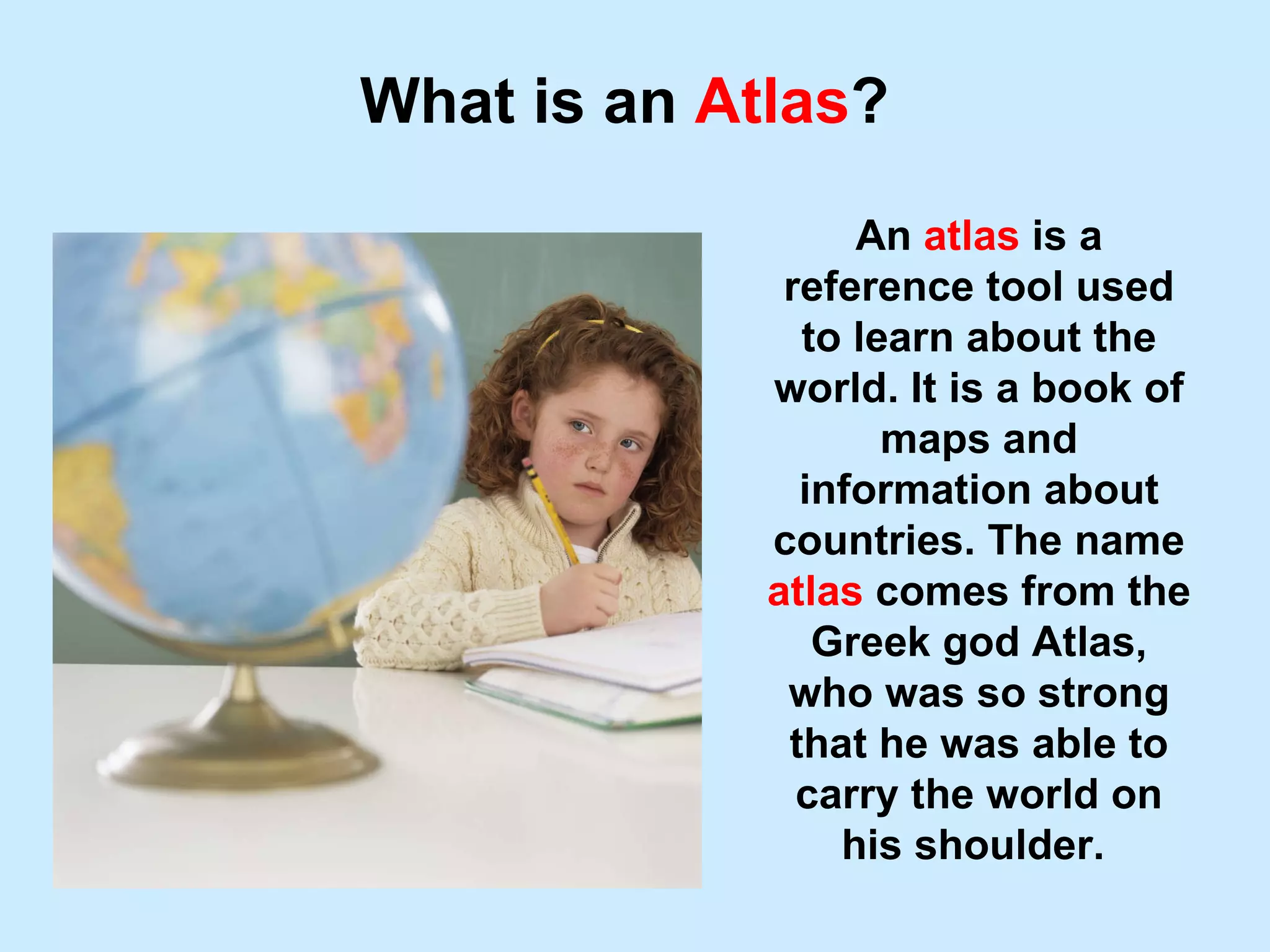
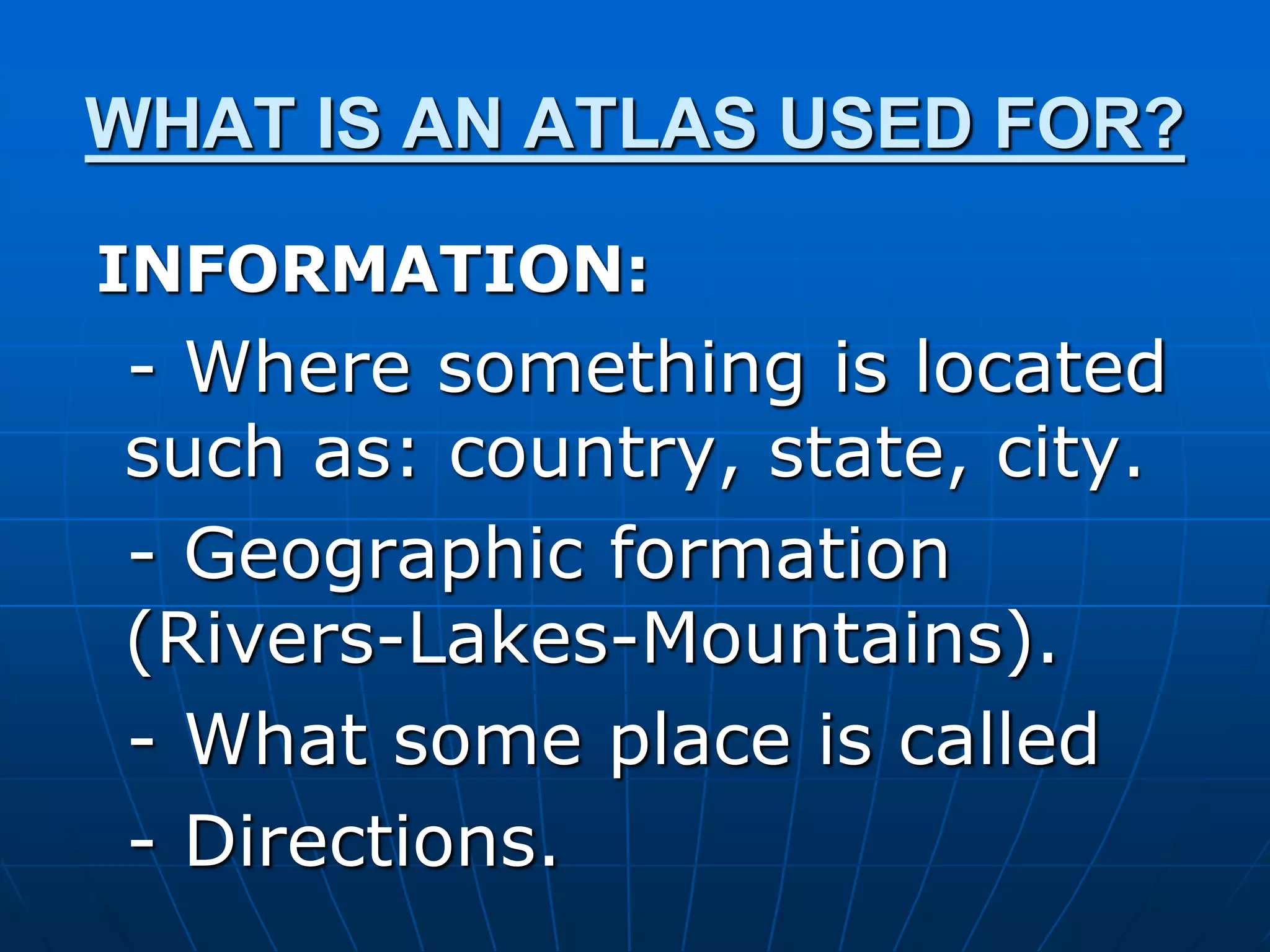
The term “atlas” traditionally conjures images of weighty bound books filled with maps, a staple in libraries and classrooms for centuries. While the physical atlas remains a valuable educational tool, its fundamental purpose—to compile, organize, and present geographical information—has transcended its paper origins, finding profound and evolving utility within the realm of technology. Today, understanding what an atlas is used for means exploring its digital descendants: sophisticated Geographic Information Systems (GIS), mapping software, AI-powered navigation tools, and a myriad of applications that shape our digital world.
The Evolution of Geographic Information Systems (GIS)
The contemporary “atlas” is often not a book but a complex digital ecosystem known as a Geographic Information System (GIS). GIS represents the technological leap from static paper maps to dynamic, interactive, and analytical platforms that integrate spatial data with vast databases.
From Paper to Pixels: Digital Transformation
The shift from paper to digital mapping began in earnest in the latter half of the 20th century. Early GIS systems digitized existing maps, making them easier to store, retrieve, and update. This initial step opened the door to unprecedented flexibility. Instead of printing new atlases for every update, digital maps could be revised in real-time. This transformation was not merely about convenience; it fundamentally changed how we interact with geographic data, moving from passive viewing to active manipulation and analysis. Today, GIS platforms are foundational to almost every aspect of modern spatial understanding, from environmental monitoring to urban development.
Core Functions of Modern GIS
Modern GIS platforms serve several critical functions, far exceeding the capabilities of a traditional paper atlas:
- Data Capture and Input: GIS allows for the input of various types of geospatial data, including satellite imagery, aerial photography, GPS coordinates, survey data, and even data from IoT sensors. This multi-source integration creates rich, comprehensive datasets.
- Data Management: These systems provide robust tools for organizing, storing, and maintaining vast quantities of spatial and attribute data. Databases linked to geographical features enable complex querying and information retrieval.
- Data Analysis: Perhaps the most powerful aspect of GIS is its analytical capability. Users can perform spatial queries (e.g., “show all hospitals within 5 miles of a school”), overlay different data layers (e.g., population density with flood risk zones), perform network analysis (e.g., optimal routing), and conduct statistical analysis on geographic phenomena. This analytical power helps in pattern recognition, trend identification, and predictive modeling.
- Data Visualization and Output: GIS excels at presenting complex data visually through interactive maps, 3D models, charts, and graphs. These outputs can be customized for specific audiences and purposes, from detailed engineering plans to public-facing web applications.
- Geospatial Processing: Advanced algorithms within GIS enable processing tasks like buffering (creating zones around features), merging datasets, geocoding (converting addresses to coordinates), and terrain modeling.
These functions collectively make GIS an indispensable tool for decision-making across countless sectors, extending the utility of the atlas concept into new dimensions of insight and action.
Atlases in Modern Software and Applications
Beyond specialized GIS software, the principles and data that define an atlas are embedded in a wide array of everyday technologies, making them fundamental to navigation, data visualization, and urban planning.
Navigation and Location-Based Services (LBS)
One of the most ubiquitous applications of digital atlases is in navigation software and location-based services (LBS). Smartphone apps like Google Maps, Apple Maps, and Waze are essentially personalized, real-time atlases. They use detailed map data, satellite imagery, traffic information, and user-generated content to provide directions, identify points of interest, and offer real-time routing adjustments.
LBS extends beyond simple navigation. It powers ride-sharing apps, food delivery services, geo-fencing for marketing, asset tracking for logistics, and even social media features that tag locations. These applications rely on constantly updated digital maps that function as dynamic atlases, providing immediate, context-aware geographical information to users on the go. The ability to instantly access detailed maps, search for specific locations, and receive turn-by-turn directions has revolutionized how individuals interact with their physical environment.
Data Visualization and Analytics
In the corporate world and public sector, digital atlases are crucial tools for data visualization and analytics. Businesses use mapping platforms to visualize sales territories, customer demographics, supply chain routes, and market penetration. This allows for more informed strategic planning, optimized resource allocation, and targeted marketing campaigns.
For governments and NGOs, digital atlases help in visualizing public health data, crime statistics, environmental impact assessments, and disaster response planning. By overlaying various data sets on a map, analysts can identify spatial patterns, correlations, and anomalies that might not be evident in tabular data. This visual approach facilitates better communication of complex information and supports evidence-based policy-making.
Urban Planning and Smart Cities
Digital atlases form the backbone of modern urban planning and the smart city initiative. Planners use sophisticated GIS and 3D mapping software to model urban growth, assess infrastructure needs, manage zoning regulations, and simulate the impact of new developments. These tools allow for detailed analysis of demographics, traffic flow, utility networks, and environmental factors.
In smart cities, digital atlases are integrated with real-time data from sensors monitoring everything from air quality and noise levels to traffic congestion and waste management. This integrated geospatial data enables city managers to optimize services, respond to incidents more effectively, and plan for future urban resilience, essentially creating a living, breathing digital twin of the city.
AI and Advanced Mapping Technologies
The intersection of artificial intelligence (AI) with geospatial technology is propelling the capabilities of digital atlases to unprecedented levels, enhancing accuracy, predictive power, and the functionality of autonomous systems.
Predictive Mapping and Routing
AI algorithms are transforming static map data into intelligent, predictive systems. Machine learning models analyze historical traffic patterns, weather conditions, event schedules, and even social media trends to forecast future traffic congestion and optimize routing in real-time. This goes beyond simple real-time traffic updates; it anticipates potential bottlenecks before they occur, offering proactive navigation solutions. AI also helps in identifying optimal locations for new businesses or infrastructure by analyzing complex spatial patterns and demographic data.
Autonomous Systems and High-Definition Maps
For autonomous vehicles, drones, and robotics, high-definition (HD) maps are critical, functioning as hyper-detailed digital atlases. These maps are far more precise than standard navigation maps, containing lane-level accuracy, information about road markings, traffic signs, curbs, pedestrian crossings, and even the texture of the road surface. AI is essential in continuously updating and interpreting this vast amount of data, allowing autonomous systems to understand their environment, localize themselves with extreme precision, and navigate safely. AI algorithms process sensor data from lidar, radar, and cameras to build and maintain these dynamic, localized atlases.
Satellite Imagery and Remote Sensing
AI plays a pivotal role in interpreting and processing the immense volume of data generated by satellite imagery and remote sensing technologies. Machine learning algorithms can automatically identify features like deforestation, urban sprawl, crop health, and changes in water bodies from satellite images, often with greater speed and accuracy than human analysts. This capability is used in environmental monitoring, disaster assessment, agricultural management, and intelligence gathering. The raw data from remote sensing platforms is transformed by AI into actionable insights that populate and enrich digital atlases, providing a global, continuously updated perspective.
Digital Security and Ethical Considerations in Geo-Data
As digital atlases become increasingly sophisticated and pervasive, the issues of data security, privacy, and ethical use of geospatial information become paramount. The extensive collection and utilization of location data present both immense opportunities and significant challenges.
Privacy Concerns with Location Data
The detailed nature of modern digital atlases, especially when combined with real-time location tracking, raises substantial privacy concerns. Knowing an individual’s movements, habits, and frequented locations can reveal sensitive personal information. Data breaches involving location data can have serious implications, leading to personal security risks, surveillance, and unauthorized profiling. Ethical guidelines and robust legal frameworks are necessary to protect individual privacy while still harnessing the benefits of geospatial technologies. Transparency about data collection practices and user consent are crucial.
Cybersecurity in Geospatial Platforms
Geospatial platforms, like any other complex software system, are vulnerable to cyber threats. The integrity of map data, the security of user accounts, and the protection of proprietary information are critical. Malicious actors could potentially manipulate map data to mislead navigation systems, disrupt critical infrastructure, or compromise national security. Ensuring the cybersecurity of GIS databases, mapping applications, and related infrastructure is an ongoing challenge that requires continuous vigilance, advanced encryption techniques, and secure access protocols.
Ensuring Data Accuracy and Integrity
The reliability of digital atlases hinges on the accuracy and integrity of the underlying data. Inaccurate map data can lead to inefficient routing, missed deliveries, and even dangerous situations for autonomous vehicles. Furthermore, intentional data manipulation or the spread of misinformation through geospatial platforms can have far-reaching societal consequences. Technologies like blockchain are being explored to ensure the provenance and integrity of geospatial data. Rigorous data validation processes, quality control measures, and clear attribution of data sources are essential to maintain trust and utility in our increasingly geo-enabled world.
In conclusion, while the physical atlas remains a symbol of geographic knowledge, its modern iterations—powered by sophisticated technology, AI, and vast data networks—are indispensable tools that navigate our daily lives, inform critical decisions, and continually reshape our understanding and interaction with the world around us. Their future evolution will undoubtedly continue to push the boundaries of what is possible in the digital domain.
aViewFromTheCave is a participant in the Amazon Services LLC Associates Program, an affiliate advertising program designed to provide a means for sites to earn advertising fees by advertising and linking to Amazon.com. Amazon, the Amazon logo, AmazonSupply, and the AmazonSupply logo are trademarks of Amazon.com, Inc. or its affiliates. As an Amazon Associate we earn affiliate commissions from qualifying purchases.