The term “rural road” conjures images of winding lanes, open fields, and a distinct departure from the bustling urban thoroughfares. Yet, in an era increasingly defined by digital connectivity, data-driven decision-making, and the relentless march of technological integration into every facet of our lives, a simple, static definition of a rural road becomes surprisingly complex. The way we understand, categorize, and ultimately manage these vital arteries of the countryside is being profoundly shaped by advancements in technology. This exploration delves into what constitutes a rural road, not just geographically, but through the lens of the digital infrastructure and technological applications that are increasingly defining their existence and utility.

The Evolving Geospatial Definition: Beyond Physical Appearance
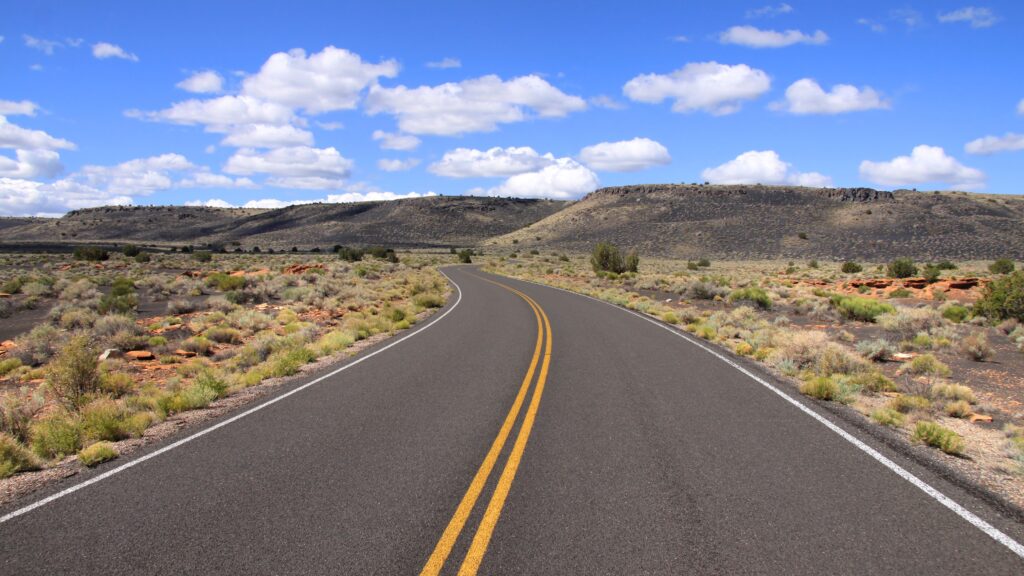
Historically, the definition of a rural road has been primarily based on geographical location, population density, and the type of infrastructure. It’s a road situated outside of urbanized areas, often characterized by lower traffic volumes, fewer intersecting roads, and a prevalence of natural landscapes or agricultural land. However, as our ability to capture, analyze, and utilize geospatial data has exploded, so too has the granularity and precision with which we can define and differentiate road types. This shift is critical for everything from navigation apps to intelligent transportation systems.
Geographic Information Systems (GIS) and Road Classification
Geographic Information Systems (GIS) form the backbone of modern spatial analysis. They allow us to layer various types of data – from satellite imagery and aerial photography to census data and road network information – to create comprehensive digital maps. Within GIS, roads are classified based on a multitude of parameters that go far beyond mere visual cues.
- Hierarchy and Connectivity: GIS databases meticulously map road networks, assigning hierarchical classifications based on factors like connectivity to major arterials, functional classification (e.g., local, collector, arterial), and expected traffic volume. Rural roads typically occupy lower positions in this hierarchy, often serving as local access points or connecting smaller communities.
- Population Density Metrics: A key differentiator for rural roads is their location relative to population centers. GIS can overlay road data with population density maps derived from census information or other demographic datasets. Roads in areas with low population density per unit area are more likely to be classified as rural.
- Land Use and Cover Analysis: Advanced GIS techniques can analyze land use and land cover data. Roads traversing predominantly agricultural lands, forests, or sparsely populated natural reserves are unequivocally identified as rural. This involves sophisticated algorithms that interpret spectral signatures in satellite imagery to determine the dominant land cover type.
The Role of Satellite Imagery and Remote Sensing
Satellite imagery and remote sensing technologies provide the raw visual and spectral data that GIS systems process. High-resolution satellite images offer a detailed view of the road’s surroundings, enabling identification of features characteristic of rural environments.
- Infrastructure Density: The presence or absence of dense built environments, commercial properties, and extensive paved surfaces surrounding a road is a strong indicator. Rural roads are typically flanked by open spaces, vegetation, or isolated residential properties.
- Road Surface Characteristics: While not exclusively defining, remote sensing can also infer aspects of road surface quality and material, though this is often a secondary characteristic. Historically, rural roads might have been predominantly unpaved or lightly paved, but modern technological advancements mean that even paved rural roads are distinct from their urban counterparts due to their context.
- Dynamic Data Integration: Emerging technologies are enabling the integration of dynamic data, such as real-time traffic flow or connectivity signals, which can further refine the classification. For instance, a road with consistently low traffic volumes and limited digital presence, even if paved, would still be characterized as rural based on these dynamic attributes.
Technological Dependencies: Navigation, Connectivity, and Data Management
The practical experience and utility of rural roads are increasingly mediated by technology. From the GPS devices that guide us to our destinations to the underlying data infrastructure that supports their mapping, the definition of a rural road is intertwined with the technological systems that interact with it.
Navigation Software and Mapping Services
The algorithms that power Google Maps, Apple Maps, Waze, and countless other navigation applications rely on sophisticated road network databases. These databases are built and maintained using a combination of aerial surveys, ground-truthing, and increasingly, crowdsourced data.
- Pathfinding Algorithms: When you input an address, pathfinding algorithms analyze the road network to find the most efficient route. The classification of a road as “rural” influences these algorithms by signaling lower speed limits, fewer intersections, and potentially different road conditions. This informs estimated travel times and route suggestions.
- Data Accuracy and Granularity: The accuracy and granularity of the map data are paramount. For rural roads, this means not just knowing the road exists, but understanding its specific characteristics: is it paved or unpaved? Is it a dead end? Are there specific seasonal closures? This level of detail is captured through meticulous data collection and processing, often aided by GPS-enabled vehicles and user feedback.
- Offline Maps and Edge Computing: For areas with limited cellular connectivity, a common characteristic of rural regions, offline map capabilities become critical. This relies on pre-downloaded data and efficient storage, underscoring the technological reliance on data management even in disconnected environments.
Internet of Things (IoT) and Sensor Technology on Rural Roads
The Internet of Things (IoT) is extending its reach into rural infrastructure, bringing a new layer of intelligence and data collection capabilities to roads previously considered remote and underserved by technology.
- Environmental Monitoring: Sensors deployed along rural roads can monitor environmental conditions such as temperature, precipitation, ice formation, and even soil moisture. This data is vital for road maintenance and safety, especially in regions susceptible to extreme weather.
- Traffic Monitoring and Management: While traffic volumes are typically low, understanding traffic patterns on rural roads can still be important for emergency services, agricultural logistics, or assessing the impact of new developments. Low-power, long-range IoT sensors can provide this data without the need for extensive power infrastructure.
- Asset Management and Maintenance: IoT devices can monitor the structural integrity of bridges, culverts, and road surfaces. This proactive approach to asset management helps prevent failures and optimize maintenance schedules, reducing costs and improving safety. The data collected is transmitted wirelessly, often using specialized low-power wide-area network (LPWAN) technologies suited for rural deployments.
Future Implications: Autonomous Vehicles and Smart Infrastructure
The ongoing evolution of transportation technology, particularly the advent of autonomous vehicles (AVs) and the broader concept of smart infrastructure, is fundamentally re-evaluating the role and requirements of rural roads.
Autonomous Vehicle Navigation and Requirements
Autonomous vehicles rely on highly detailed, real-time information about their environment to navigate safely. This presents unique challenges and opportunities for rural roads.
- High-Definition (HD) Mapping: AVs require High-Definition (HD) maps that go far beyond standard navigation maps. These maps contain centimeter-level accuracy of lane markings, road edges, signage, and even the precise curvature of the road. Creating and maintaining HD maps for vast networks of rural roads is a significant technological undertaking.
- Sensor Fusion and Perception: AVs use a suite of sensors (LiDAR, radar, cameras) to perceive their surroundings. The effectiveness of these sensors can be impacted by factors common to rural roads, such as vegetation obscuring visibility, inconsistent lane markings, and the presence of unexpected obstacles (e.g., wildlife). Technological solutions are being developed to enhance perception in these challenging environments.
- Connectivity for Updates and Coordination: While AVs operate autonomously, they often benefit from V2X (Vehicle-to-Everything) communication, allowing them to communicate with infrastructure (V2I), other vehicles (V2V), and pedestrians (V2P). For rural roads, ensuring robust connectivity for these functions, even in areas with limited cellular coverage, is a technological hurdle. This may involve the deployment of dedicated short-range communications (DSRC) or 5G small cells in strategic locations.

Smart Infrastructure for Rural Connectivity
The concept of “smart infrastructure” extends beyond the road surface itself to encompass the entire ecosystem that supports transportation. For rural roads, this means addressing issues of connectivity and data utilization to improve safety, efficiency, and accessibility.
- Bridging the Digital Divide: A significant aspect of rural road technology involves addressing the digital divide. Deploying broadband internet, cellular towers, or alternative wireless solutions along these routes is essential for enabling AVs, IoT devices, and even basic emergency communication.
- Data Analytics for Planning and Investment: The data collected from sensors, navigation systems, and AVs on rural roads can be analyzed using sophisticated AI and machine learning algorithms. This analytics can inform infrastructure planning, identify areas needing improvement, predict maintenance needs, and optimize resource allocation.
- Resilience and Adaptability: As climate change and other environmental factors impact rural areas, smart infrastructure technologies can help make roads more resilient. This includes early warning systems for landslides or floods, adaptive traffic management based on real-time conditions, and the use of advanced materials for road construction and repair, all underpinned by technological innovation.
In conclusion, while the physical essence of a rural road remains tied to its location and purpose in less densely populated areas, its definition and functionality are increasingly being shaped by the pervasive influence of technology. From the precise geospatial data that maps and classifies them, to the navigation software that guides us, and the emerging IoT and AI solutions that promise to make them smarter and safer, the rural road is no longer a purely analog entity. Understanding what constitutes a rural road in the 21st century requires acknowledging its integration into a complex, interconnected, and technologically evolving landscape.
aViewFromTheCave is a participant in the Amazon Services LLC Associates Program, an affiliate advertising program designed to provide a means for sites to earn advertising fees by advertising and linking to Amazon.com. Amazon, the Amazon logo, AmazonSupply, and the AmazonSupply logo are trademarks of Amazon.com, Inc. or its affiliates. As an Amazon Associate we earn affiliate commissions from qualifying purchases.