In the landscape of global logistics and data management, the Canadian postal code is more than a simple sequence of characters used to deliver mail. It is a sophisticated, high-precision alphanumeric system that serves as the backbone for one of the most technologically advanced sorting networks in the world. For developers, data scientists, and logistics engineers, the Canadian postal code represents a structured dataset that allows for granular geographic identification, automated processing, and complex spatial analysis.
Understanding what a Canadian postal code is requires looking past the ink on an envelope and examining the digital architecture that powers Canada Post’s multi-billion dollar infrastructure.
The Architecture of the Alpha-Numeric Sequence
Unlike the purely numeric ZIP codes used in the United States, the Canadian postal code utilizes a six-character alphanumeric format (A1B 2C3). This design was intentionally chosen to provide a significantly higher number of unique combinations compared to a numeric-only system, allowing for the precise density required by modern urban planning and automated sorting.
Forward Sortation Areas (FSA): The Macro Data Layer
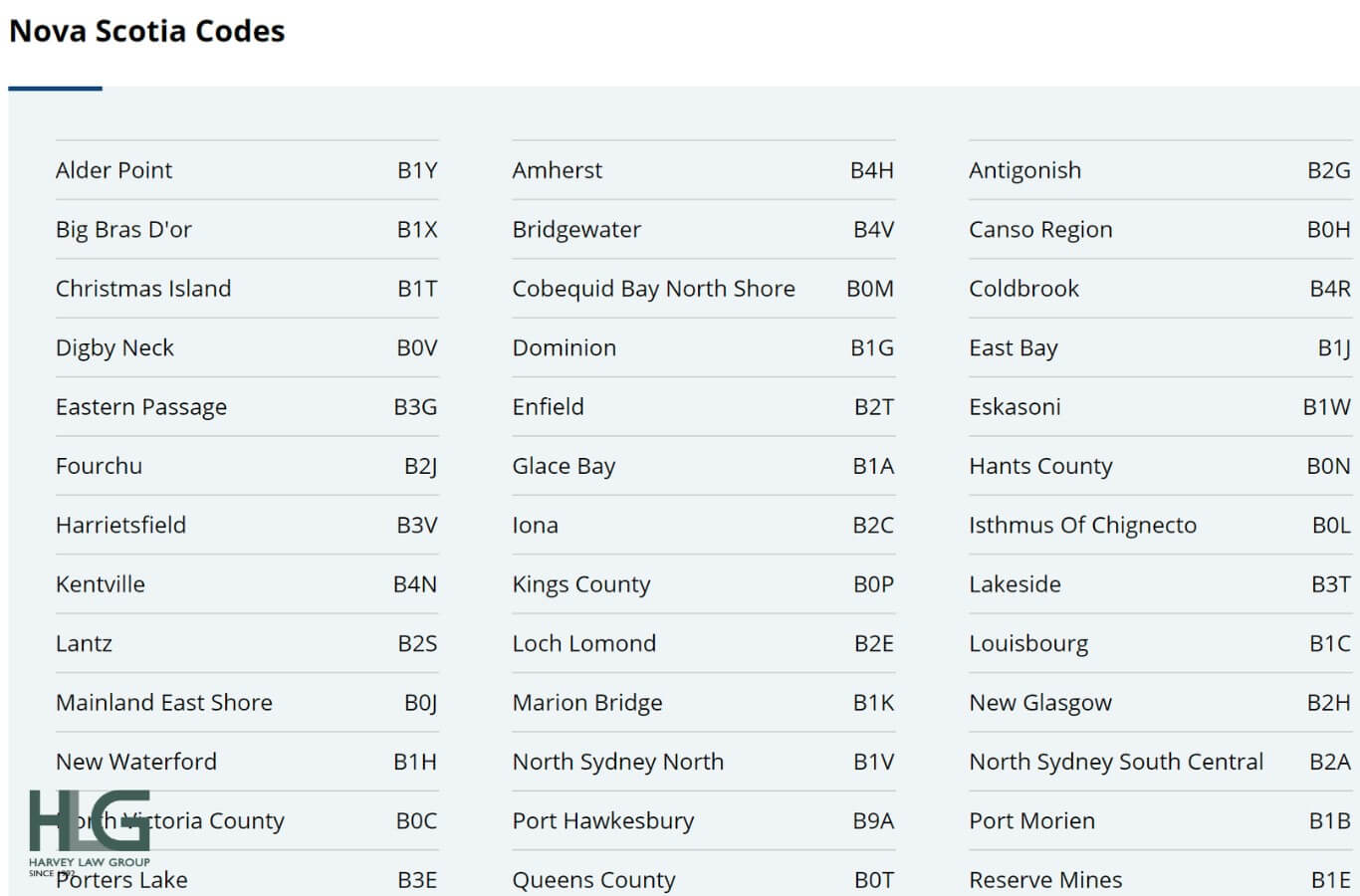
The first three characters of the postal code constitute the Forward Sortation Area (FSA). This segment represents a specific geographical region, such as a major city district or a vast rural area. From a technical standpoint, the FSA is the primary filter in the sorting algorithm.
The first character designates the province or a large portion of a province (e.g., “M” for Toronto, “V” for British Columbia). The second character—a numeral—is a critical data point: if it is a ‘0’, it signifies a wide-spread rural area, whereas any other digit represents an urban zone. The third character, a letter, further refines the location. By analyzing the FSA, software systems can immediately route data packets or physical goods to a regional distribution hub without needing to process the full address.
Local Delivery Units (LDU): Precision Mapping
The final three characters are known as the Local Delivery Unit (LDU). This is where the technology moves from macro-routing to micro-precision. An LDU can represent a single city block, a specific large building (such as a high-rise office tower), or even a single large-volume institution like a hospital or government agency.
In dense urban environments, the LDU allows for “point-of-call” accuracy. For developers building geolocation tools, the LDU provides a level of specificity that allows for the calculation of distances down to the meter. This granularity is essential for last-mile delivery algorithms, where optimizing the route between two LDUs can save millions in fuel and time across a national fleet.
Data Constraints and Character Logic
To ensure high accuracy in Optical Character Recognition (OCR) systems, Canada Post excludes certain letters from the postal code system. The letters D, F, I, O, Q, and U are never used. This is a technical safeguard against visual ambiguity. For example, ‘O’ could be mistaken for ‘0’, or ‘I’ for ‘1’. By eliminating these characters at the architectural level, the system reduces the “false positive” rate during high-speed automated sorting, ensuring that data integrity is maintained even if the physical print is degraded.
The Technology Behind Modern Mail Sorting
The transition of a postal code from a handwritten label to a digital instruction involves an array of sophisticated hardware and software. Canada Post utilizes some of the most advanced automated sorting technology in the world, relying on machine learning and high-speed imaging.
Optical Character Recognition (OCR) and Machine Learning
When a parcel enters a processing plant, it travels on a conveyor system at high speeds. High-resolution cameras capture images of the address block, which are then processed by OCR software. This software doesn’t just “read” the letters; it uses neural networks to interpret handwriting styles, account for smudges, and cross-reference the extracted postal code against a master database of valid addresses.
If the OCR system encounters a low-confidence read, the image is instantly routed to a Video Coding System (VCS), where a remote operator can manually verify the data. However, as machine learning models have evolved, the “read rate” of these automated systems has climbed significantly, allowing for the processing of tens of thousands of items per hour with minimal human intervention.
The Role of Geographic Information Systems (GIS)
Every Canadian postal code is mapped to specific longitudinal and latitudinal coordinates through Geographic Information Systems (GIS). This digital mapping allows for more than just mail delivery; it enables spatial telemetry.
Technically, this means that a postal code acts as a “foreign key” in many governmental and commercial databases. When a user enters their postal code into a weather app or a store locator, the system performs a spatial query. The postal code is converted into a centroid—a geometric center of a specific area—allowing the software to calculate the proximity to the nearest sensor or retail outlet. This seamless integration of alphanumeric data and spatial coordinates is what makes the postal code a foundational element of the modern Canadian digital economy.
Integrating Postal Data into Software and E-commerce
For the tech industry, the Canadian postal code is a vital input field in almost every user interface. However, managing this data requires more than a simple text box; it requires robust validation and integration strategies.
Address Validation APIs: Ensuring Data Integrity
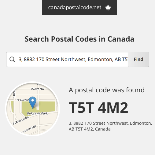
In e-commerce, a single mistyped character in a postal code can lead to a “failed delivery” exception, costing businesses significant revenue. To combat this, developers integrate Address Validation APIs (such as those provided by Canada Post, Google Cloud, or Loqate).
These APIs work in real-time. As a user types, the system performs a lookup against the “Point of Call” database. This ensures that the postal code exists and matches the street address provided. From a technical perspective, this process involves RESTful API calls that return JSON objects containing standardized address formats. By forcing data normalization at the point of entry, companies can ensure that their logistics software receives clean, actionable data.
Geo-fencing and Logistics Optimization
Beyond simple shipping, postal codes are used in the development of geo-fencing technology. For example, food delivery apps use the FSA to define “delivery zones.” If a user’s postal code falls outside a specific polygon defined in the app’s GIS backend, the system can dynamically update the available restaurant list or adjust delivery fees.
Logistics companies also use postal code data for “load balancing.” By analyzing the volume of packages destined for specific LDUs, software can automatically determine how to palletize goods and which delivery vehicles to deploy. This is a classic “traveling salesman problem” solved at scale using the structured data provided by the postal code system.
Cybersecurity and Privacy in Geospatial Data
As we move further into a data-driven society, the technical discussion around postal codes must include a focus on cybersecurity and data privacy. While a postal code is not “Personally Identifiable Information” (PII) in isolation, it becomes sensitive when combined with other data points.
Protecting Personal Information in Public Databases
In the context of the “Internet of Things” (IoT) and big data analytics, the precision of the LDU presents a unique challenge. Because some LDUs represent a very small number of households (sometimes as few as ten), they can be used in “re-identification attacks.”
Data engineers must apply techniques like k-anonymity or differential privacy when sharing datasets that include postal codes. For example, a healthcare researcher might “mask” the last three digits of a postal code (the LDU) and only provide the FSA to ensure that individual patients cannot be identified while still allowing for regional health trend analysis.
The Future of Smart Addressing and Digital Twins
Looking forward, the concept of the postal code is evolving toward “Smart Addressing.” We are seeing the rise of Digital Twins—virtual replicas of physical infrastructure. In these models, a postal code is no longer just a label on a house; it is a digital anchor for a 3D coordinate in a virtual map used by autonomous drones and self-driving delivery robots.
These autonomous systems require even higher precision than the current LDU can provide. We are seeing the development of “hyper-local” data layers where a postal code might be appended with metadata regarding a specific delivery window or a secure drop-off hatch code. The technical evolution of the Canadian postal code will likely involve these types of encrypted metadata layers, allowing for a fully automated, end-to-end supply chain.
Conclusion
The Canadian postal code is a masterclass in functional data design. By balancing the needs of human readability with the requirements of high-speed machine processing, it has remained a relevant and powerful tool for over half a century. From the initial FSA sorting to the high-precision mapping of the LDU, the system provides a structured framework that supports everything from e-commerce APIs to autonomous logistics. As technology continues to advance, the “digital blueprint” of the postal code will remain an essential component of Canada’s technological infrastructure, proving that even a six-character string can be a gateway to a world of complex digital innovation.
aViewFromTheCave is a participant in the Amazon Services LLC Associates Program, an affiliate advertising program designed to provide a means for sites to earn advertising fees by advertising and linking to Amazon.com. Amazon, the Amazon logo, AmazonSupply, and the AmazonSupply logo are trademarks of Amazon.com, Inc. or its affiliates. As an Amazon Associate we earn affiliate commissions from qualifying purchases.