
For centuries, the “collapse” of the Maya civilization has been one of history’s most enduring mysteries. At its peak, the Maya empire featured soaring pyramids, sophisticated writing systems, and a grasp of mathematics and astronomy that rivaled or exceeded their contemporaries in Europe and Asia. Then, around 900 CE, the great cities of the southern lowlands were abandoned. For decades, historians and archeologists relied on shovels, brushes, and educated guesswork to understand why.
However, the question of “what happened to the Maya” is no longer just a matter for historians; it has become a frontier for high-end technology. Through the application of Lidar, artificial intelligence, and advanced environmental modeling, we are finally uncovering the technical and systemic failures that led to their disappearance, while simultaneously revolutionizing how we conduct digital archeology.
The Lidar Revolution: Peering Through the Canopy
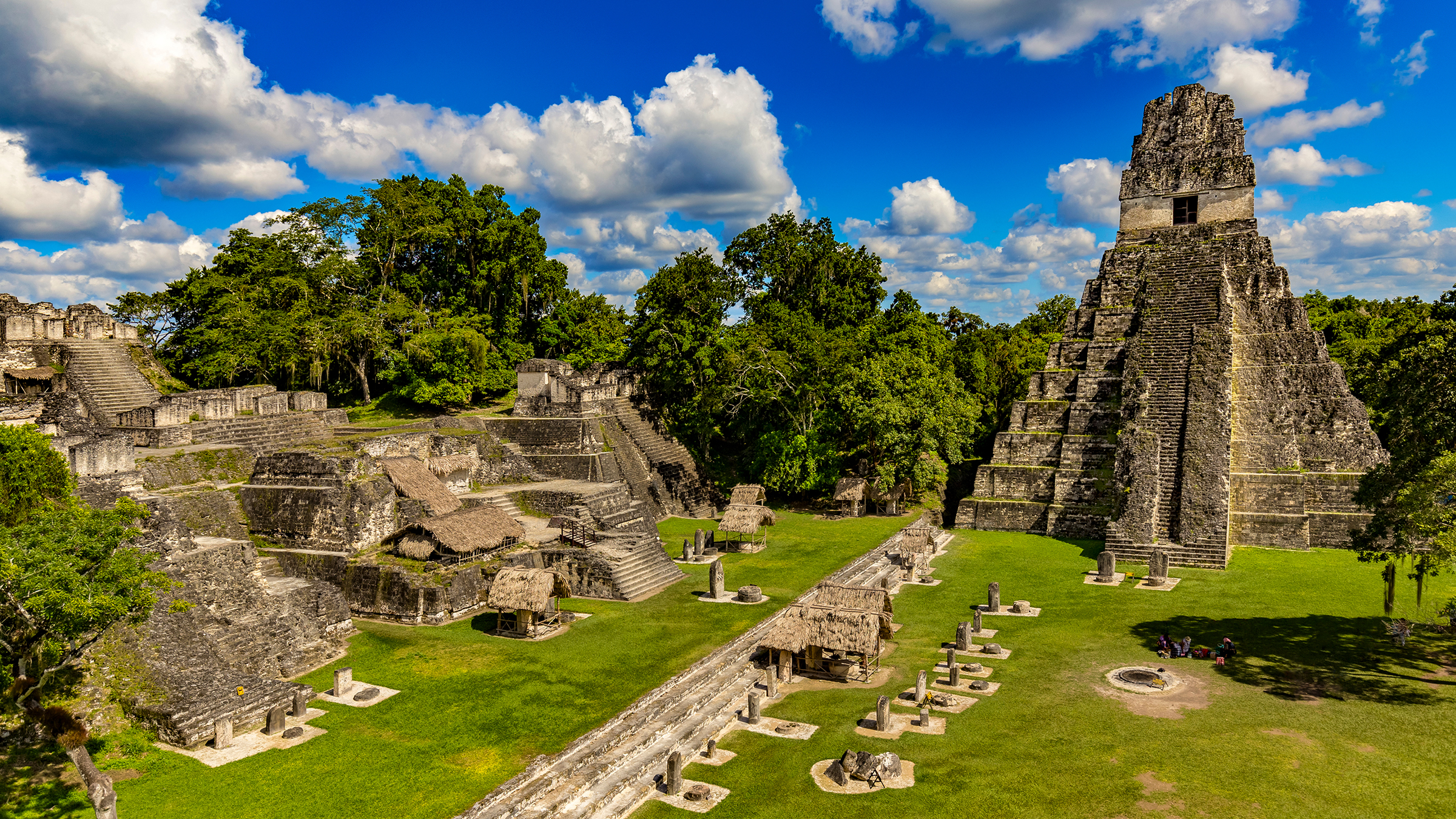
The greatest obstacle to understanding the Maya has always been the geography of Central America. The dense, unforgiving jungle of the Petén Basin acts as a physical “firewall,” obscuring thousands of structures from both the human eye and traditional satellite photography. For a century, archeologists hacked through vines to find individual buildings, unaware that they were standing in the middle of sprawling megalopolises.
Seeing the Invisible: Laser Scanning and Digital Topography
The breakthrough came with Lidar (Light Detection and Ranging). This remote sensing technology uses laser pulses emitted from an aircraft to map the ground surface. By sending billions of laser points toward the jungle floor and measuring the time it takes for them to bounce back, researchers can “strip away” the vegetation digitally.
The result is a high-resolution 3D map of the terrain. When this tech was first applied to the Maya Biosphere Reserve in Guatemala, it revealed over 60,000 previously unknown structures. The data showed that the Maya did not live in isolated city-states but in a massive, interconnected network of urban centers, defense fortifications, and industrial-scale farms. This tech-driven discovery shifted our understanding of their population from a few million to upwards of 15 to 20 million people.
Redefining Scale: From Isolated Cities to Mega-Networks
Technologically, the Lidar data changed the “collapse” narrative. It revealed a landscape that was “over-engineered.” The sheer density of the highways (sacbeob) and the complexity of the digital topographical maps showed an empire that had reached its absolute carrying capacity. By using digital tools to quantify the volume of stone moved and the acreage of land tilled, tech-centric archeologists have illustrated that the Maya didn’t just “disappear”; they hit a technological and ecological ceiling that their infrastructure could no longer support.
Ancient Engineering: The Tech That Built (and Failed) an Empire
To understand what happened to the Maya, we must look at their own “tech stack.” While they lacked the wheel and iron tools, their mastery of hydraulic engineering and structural physics was centuries ahead of its time. However, modern engineering audits of these systems suggest that their reliance on high-maintenance infrastructure made them vulnerable to systemic shocks.
Hydraulic Sophistication: Advanced Water Management Systems
In cities like Tikal, the Maya developed incredible water filtration and storage systems. Using minerals like zeolite and quartz—materials still used in modern water purification—they created “sand filters” that provided clean drinking water to thousands during the grueling dry seasons.
Modern software simulations of these reservoirs show that the Maya were masters of “slope management.” They designed their entire city plazas as giant catchments to funnel rainwater into massive tanks. However, as digital modeling of the soil reveals, this tech had a fatal flaw: it required constant maintenance. When political instability or minor droughts disrupted the labor force required to dredge and clean these systems, the tech failed, leading to water-borne illnesses and a total breakdown of urban hygiene.
The Fragility of Complexity: When Agricultural Tech Hit Its Limit
The Maya utilized “raised-field” agriculture, a sophisticated form of terraforming that allowed them to farm swampy wetlands. Using multispectral satellite imagery, modern researchers have mapped the extent of these “wetland grids.”

While this was a triumph of ancient ag-tech, big data analysis of the regional climate records shows that this system was extremely sensitive to even slight changes in water levels. When a series of prolonged droughts hit the region—documented through high-tech analysis of stalagmites in local caves—the very technology that allowed the Maya to thrive became their undoing. The high-yield, high-maintenance agricultural tech could not pivot fast enough to adapt to a changing climate, a lesson in “technical debt” that resonates in our modern software and infrastructure sectors today.
AI and Big Data in Digital Archeology
The volume of data generated by Lidar and satellite surveys is too massive for human researchers to analyze manually. To solve the mystery of the Maya, archeologists have turned to the same tools used by tech giants: Machine Learning (ML) and Artificial Intelligence.
Pattern Recognition: Identifying Ruins from Space
Computer vision algorithms are now being trained to identify “signatures” of Mayan ruins in satellite and Lidar data. In the past, a researcher might spend years surveying a ten-square-mile area. Today, an AI model trained on Convolutional Neural Networks (CNNs) can scan thousands of square miles in hours, identifying the specific geometric shapes of buried pyramids or hidden irrigation canals.
This AI-driven approach has allowed us to see the “spatial footprint” of the collapse. We can see where cities were abruptly abandoned and where defensive walls were hastily constructed, indicating that as resources failed, the Maya entered a period of intense technological and kinetic warfare.
Predictive Modeling: Simulating Environmental Stress
One of the most powerful tech tools in the quest to understand the Maya is “Agent-Based Modeling” (ABM). This involves creating a digital “SimCity” version of the Maya empire, populated by AI agents that represent farmers, nobles, and soldiers. Researchers input real-world data—rainfall levels, soil depletion rates, and trade route disruptions—to see how the system reacts.
These simulations consistently show that the collapse wasn’t caused by a single event, like a volcano or a war. Instead, it was a “cascading system failure.” The models show that when the tech-dependent food supply dropped by just 20%, the social “software” of the civilization—its religion and government—glitched. The AI suggests that the “collapse” was a rational exit strategy; people “uninstalled” themselves from a broken urban system and returned to simpler, more resilient lifestyles in the highlands.
The Future of the Past: Virtual Preservation and Digital Ethics
As we use tech to uncover what happened to the Maya, we are also using it to preserve what remains. The focus has shifted from physical excavation, which can be destructive, to “non-invasive digital preservation.”
Photogrammetry and the 3D Archive
Using handheld laser scanners and high-resolution photogrammetry, tech teams are creating 1:1 digital twins of Mayan stelae and temples. This allows researchers globally to study the hieroglyphs—the Maya’s “operating system”—without ever touching the stone. These digital archives ensure that even as climate change and looting threaten the physical sites, the data remains accessible.
Digital Ethics: Crowdsourcing and Protection
The rise of digital archeology also brings new challenges in digital security. High-resolution Lidar maps are essentially “treasure maps” for looters. Consequently, the tech community involved in Mayan research has had to develop strict data-sharing protocols and encrypted databases. We are seeing a move toward “democratized archeology,” where local indigenous communities are given the tech tools to monitor and protect their own heritage sites using drone surveillance and mobile reporting apps.
Conclusion: A Technical Post-Mortem
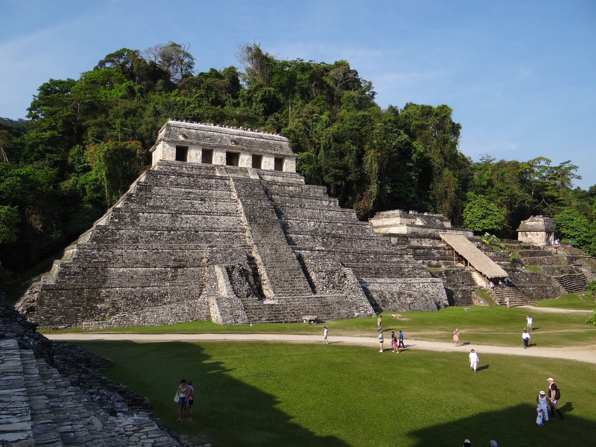
The mystery of “what happened to the Maya” is being solved not by a single discovery, but by the convergence of various high-tech disciplines. From the laser pulses of Lidar to the predictive power of AI, we now see the Maya not as a primitive people who vanished into thin air, but as a highly advanced technological society that fell victim to its own complexity.
The Maya collapse serves as a poignant “case study” for our modern tech-dependent world. It reminds us that no matter how advanced our “hardware” (cities and infrastructure) or our “software” (social and political systems), resilience is the ultimate metric of success. As we continue to refine our digital tools to peer into the past, we aren’t just learning about a lost civilization; we are stress-testing our own understanding of how technology, environment, and society interact. The story of the Maya is no longer written in stone; it is being rewritten in code.
aViewFromTheCave is a participant in the Amazon Services LLC Associates Program, an affiliate advertising program designed to provide a means for sites to earn advertising fees by advertising and linking to Amazon.com. Amazon, the Amazon logo, AmazonSupply, and the AmazonSupply logo are trademarks of Amazon.com, Inc. or its affiliates. As an Amazon Associate we earn affiliate commissions from qualifying purchases.