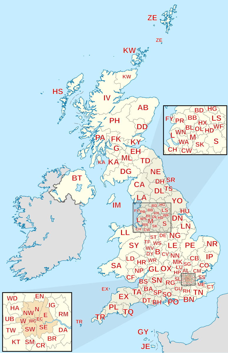
In the global landscape of logistics and digital mapping, few systems are as granular, complex, or technologically significant as the United Kingdom’s postcode system. While many countries utilize simple five-digit numeric strings to identify broad geographic regions, the UK employs a sophisticated alphanumeric hierarchy. Far from being just a tool for the Royal Mail to deliver letters, the UK postcode has evolved into a cornerstone of geospatial technology, driving everything from e-commerce algorithms and last-mile delivery software to advanced data analytics and digital security protocols.
To understand what postal codes are in the UK is to understand a masterpiece of data engineering that bridges the gap between physical geography and digital precision. This article explores the technical framework of the UK postcode, its integration into modern software ecosystems, and its role in the future of geospatial technology.
The Alphanumeric Logic: Decoding the UK Postcode System
At its core, a UK postcode is a hierarchical data string designed for high-resolution location identification. Unlike the US ZIP code, which primarily identifies a post office or a general area, a UK postcode can narrow a location down to a single street, a segment of a street, or even a individual high-volume delivery point.
The Outward Code: Defining the Broad Geographic Area
The first half of a UK postcode is known as the “Outward Code” (or Outcode). This segment typically consists of two to four characters and is essential for the initial sorting process in postal technology.
The Outward Code is further divided into the Postcode Area and the Postcode District. For example, in the postcode “SW1A 1AA,” the “SW” represents the South West London area. The “1A” specifies the district within that area. From a data perspective, the Outward Code serves as the primary key in high-level geographic databases, allowing software to categorize users by city or region without requiring more invasive data.
The Inward Code: Precision at the Sector and Delivery Point Level
Following the space in a UK postcode is the “Inward Code” (or Incode). This three-character string is the engine of the system’s granularity. It is divided into the Postcode Sector (the digit) and the Postcode Unit (the final two letters).
The Unit is the most technically impressive aspect of the system. A single unit typically covers about 15 to 20 addresses, though it can represent a single large building or a business that receives a high volume of mail. This level of precision allows GPS and mapping software to pinpoint a location with a degree of accuracy that is rarely matched by other national addressing systems. For developers, this means the “unit” level data can be used to automate routing at a hyper-local level, reducing the “search time” for delivery drivers once they arrive on a street.
From Paper to Pixels: How Postcodes Drive Modern Logistics Software
The transition of the postcode from a physical sorting tool to a digital asset has revolutionized the logistics and tech industries. Today, the postcode is the primary input for thousands of Application Programming Interfaces (APIs) that power the modern economy.
API Integration in E-commerce and Last-Mile Delivery
In the realm of e-commerce, the postcode is the first point of contact between a customer’s physical location and a company’s supply chain software. When a user enters their postcode on a checkout page, a “Postcode Lookup” API typically pings a database—such as the Royal Mail’s Postcode Address File (PAF)—to return a full address.
This automation does more than just improve user experience; it ensures data integrity. By forcing a match against a verified geospatial database, businesses eliminate the “dirty data” caused by typos or incomplete addresses. Furthermore, last-mile delivery platforms like those used by Amazon or Deliveroo use the postcode hierarchy to batch deliveries. Algorithms can group hundreds of orders by their “Sector” and “Unit” codes, optimizing the route for the driver to ensure the shortest possible distance between stops.
Geospatial Data and GIS: Mapping the Digital Landscape
Geographic Information Systems (GIS) rely heavily on UK postcodes to visualize data patterns. Because postcodes are so granular, they serve as excellent proxies for spatial analysis.
Tech firms use this data to perform “catchment analysis.” For instance, a ride-sharing app might analyze postcode data to determine where demand is highest at specific times. Because the UK system is alphanumeric, it allows for more complex “clustering” in database queries than simple numeric codes. Developers can write scripts to aggregate data by the first two letters (Area) to see city-wide trends, or by the full string to analyze neighborhood-level behavior.

The Technological Evolution of the Postcode System
As we move further into the era of Big Data and Artificial Intelligence, the postcode system is undergoing a digital transformation. It is no longer a static list of strings but a dynamic dataset that evolves with the built environment.
Open Data Initiatives and the Royal Mail PAF
The backbone of the UK’s addressing technology is the Postcode Address File (PAF). Maintained by the Royal Mail, the PAF contains over 30 million delivery points. Historically, access to this data was gated and expensive, but the rise of the “Open Data” movement has led to the creation of alternatives and more accessible tiers for developers.
The integration of postcodes with Ordnance Survey (OS) data has created a “Linked Data” ecosystem. By linking a postcode to its exact latitude and longitude (gridding), tech companies can overlay postal data onto satellite imagery. This synthesis of data allows for “geofencing,” where software can trigger specific actions—like a push notification or a price change—the moment a device enters a specific postcode boundary.
The Future: AI, Machine Learning, and Hyper-Local Addressing
Looking ahead, the limitation of the traditional postcode is that it is two-dimensional. In high-rise urban environments, a single postcode might represent hundreds of individuals living at different vertical heights.
To solve this, tech innovators are experimenting with “3D Postcodes” and AI-driven addressing. Machine learning models are being trained to recognize “entry points” rather than just “address points.” For example, a delivery drone or an autonomous vehicle needs to know the exact GPS coordinate of a loading bay or a drop-off locker, not just the general street segment defined by a postcode. While the traditional UK postcode remains the primary identifier, it is increasingly being augmented by technologies like What3Words or Plus Codes to provide the “pinpoint” accuracy required for autonomous logistics.
Security and Validation: The Role of Postcodes in Digital Identity
Beyond logistics, the UK postcode is a vital component of digital security and financial technology (FinTech). It serves as a primary layer of verification in the “Know Your Customer” (KYC) processes that govern online banking and credit.
Address Verification Systems (AVS) and Fraud Prevention
When you perform an online transaction in the UK, the payment gateway often uses an Address Verification System (AVS). This technology checks the numeric portions of the billing postcode provided by the user against the data held by the card-issuing bank.
From a technical standpoint, this is an elegant security measure. Because the postcode is unique and structured, it is difficult for fraudsters to guess the correct combination of letters and numbers associated with a stolen card number. If the postcode doesn’t match the bank’s records, the transaction is flagged or declined. This simple alphanumeric check saves the UK economy billions of pounds in potential fraud losses every year.
Digital Identity and Geo-Fencing
In the world of digital security, “location-based authentication” is becoming standard. Many enterprise security apps use the postcode associated with a device’s IP address or GPS signal to verify a login attempt. If a user tries to access a secure corporate server from a postcode that is inconsistent with their known home or office location, the system can trigger multi-factor authentication (MFA).
The granularity of the UK postcode makes this particularly effective. While a US ZIP code might cover a whole town, a UK postcode is specific enough to distinguish between a residential street and a commercial hub, providing a much tighter “trust zone” for digital security protocols.

Conclusion: The Postcode as a Digital Foundation
The UK postcode is far more than a relic of the physical mail era; it is a sophisticated piece of geospatial technology that remains indispensable in the digital age. Its unique alphanumeric structure provides a level of granularity that fuels modern logistics, enables precise data analytics, and secures our financial transactions.
For developers, data scientists, and tech innovators, the UK postcode system represents a robust framework for organizing the physical world into a machine-readable format. As we transition toward smarter cities, autonomous delivery systems, and more advanced AI, the postcode will continue to adapt—serving as the essential link between our digital interfaces and our physical destinations. Understanding the tech behind the postcode is not just about knowing how mail is delivered; it is about understanding the very grid upon which the UK’s digital economy is built.
aViewFromTheCave is a participant in the Amazon Services LLC Associates Program, an affiliate advertising program designed to provide a means for sites to earn advertising fees by advertising and linking to Amazon.com. Amazon, the Amazon logo, AmazonSupply, and the AmazonSupply logo are trademarks of Amazon.com, Inc. or its affiliates. As an Amazon Associate we earn affiliate commissions from qualifying purchases.