
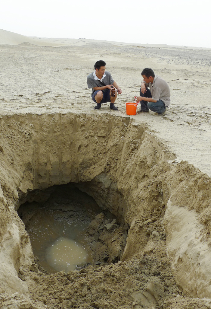
The vast, undulating dunes of the world’s deserts have long been considered one of the final frontiers of terrestrial exploration. Covering approximately one-third of the Earth’s land surface, these arid regions are often viewed as barren voids. However, beneath the shifting silica lies a complex landscape of geological history, ancient hydrological systems, and untapped resources. For decades, this “hidden Earth” was inaccessible, shielded by hundreds of meters of volatile sand. Today, a revolution in geotechnology, remote sensing, and artificial intelligence is peeling back these layers, allowing scientists and engineers to visualize the subsurface with unprecedented clarity.
The Technological Lens: Remote Sensing and Deep-Penetrating Radar
To understand what lies beneath the desert, we must first look from above. The primary challenge of desert exploration is the sheer volume of overburden—the sand itself—which renders traditional optical photography useless. To solve this, the technology sector has developed specialized sensors capable of “seeing” through solid matter.
Synthetic Aperture Radar (SAR) and Satellite Imaging
Synthetic Aperture Radar (SAR) is perhaps the most significant technological leap in subsurface mapping. Unlike traditional cameras that rely on visible light, SAR uses microwave pulses that can penetrate dry, fine-grained sand to depths of several meters. When these pulses hit harder surfaces—such as bedrock, fossilized riverbeds, or ancient structures—they bounce back to the satellite.
NASA’s Shuttle Imaging Radar (SIR) missions were pioneers in this field, famously revealing the “Radarsat” images of the Sahara. These images uncovered the “Trans-Saharan Mega-lake” and paleo-drainage systems that had been dry for millennia. Modern iterations of this tech, such as those found on the European Space Agency’s Sentinel satellites, provide high-resolution data that allow tech-driven geological surveys to map the transition from soft sand to solid lithosphere without ever breaking ground.
Ground-Penetrating Radar (GPR) Systems
While satellites provide the macro-view, Ground-Penetrating Radar (GPR) offers high-resolution localized data. GPR units transmit high-frequency radio waves into the ground. When the wave encounters a change in the dielectric permittivity (a measure of how much a material resists an electric field), it reflects back.
In desert environments, where the sand is extremely dry, GPR can achieve its maximum theoretical depth. Tech firms are currently developing “Array GPR,” which uses multiple antennas to create a 3D volumetric “cube” of the subsurface. This allows engineers to identify voids, mineral deposits, or buried pipelines with centimeter-level precision. The integration of GPS and inertial measurement units (IMUs) into these GPR rigs ensures that every data point is georeferenced, creating a digital blueprint of the earth beneath the dunes.
Artificial Intelligence and Big Data in Subterranean Analysis
The sheer volume of data generated by SAR and GPR is overwhelming for human analysts. This is where Artificial Intelligence (AI) and Machine Learning (ML) become the critical bridge between raw data and actionable insight.
Machine Learning for Pattern Recognition
AI algorithms are now trained to recognize specific geological signatures within radar data. For instance, an ML model can be fed thousands of images of known underground aquifers or salt domes. When applied to new desert data, the AI can scan millions of hectares in hours, flagging anomalies that suggest the presence of water or rare earth minerals.
These neural networks are particularly adept at filtering out “clutter”—the noise generated by heterogeneous sand layers or surface obstacles. By applying deep learning filters, tech platforms can produce “clean” maps of the bedrock topography, showing the rugged mountains and deep valleys that exist beneath the seemingly flat desert floor.
Predictive Modeling of Subsurface Hydrology
One of the most vital applications of tech beneath the sand is the search for “fossil water”—ancient aquifers trapped during more humid geological epochs. Advanced software suites use predictive modeling to simulate the flow of water through porous rock layers (aquifers) hidden beneath the desert.
By combining satellite gravity data (from missions like GRACE-FO) with localized seismic tech, AI can calculate the volume and recharge rate of these hidden reservoirs. This technology is essential for the sustainability of desert regions, transforming the “hidden earth” into a strategic resource for future civilizations.
Robotics and Autonomous Exploration Systems
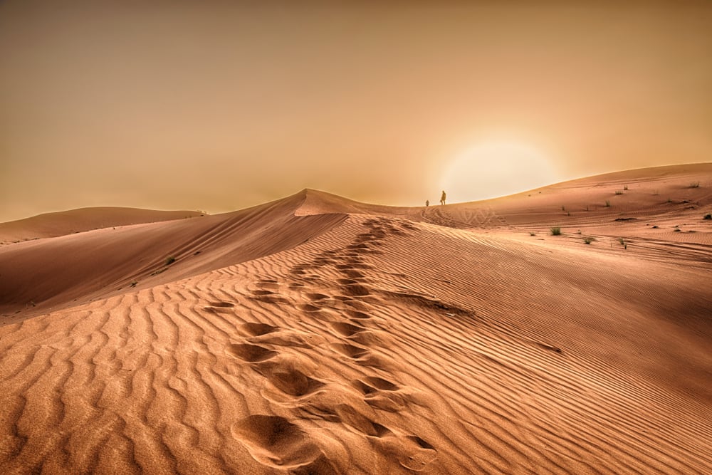
The harsh environment of the desert makes human-led surveying difficult and dangerous. Consequently, the tech industry has pivoted toward autonomous and robotic solutions to explore the subterranean landscape.
Sub-Sand Drones and Autonomous Rovers
A new generation of autonomous rovers, equipped with multi-modal sensor suites, is being deployed to map the desert floor. These robots use LIDAR for surface navigation and GPR for subsurface mapping. Unlike human teams, these rovers can operate 24/7 in extreme temperatures, covering vast swaths of the Arabian or Gobi deserts.
Furthermore, “biomimetic” robotics—robots designed to move like sand-swimming animals—are in the experimental phase. These “sand-bots” use granular media dynamics to move through the upper layers of sand rather than over them. This allows for direct physical probing of the subsurface environment, providing “ground truth” data to calibrate the remote sensors used by satellites.
Automated Seismic Surveying
Seismic surveying involves sending shockwaves into the ground and measuring their echoes to map deep rock strata. Traditionally, this required large crews and massive “thumper trucks.” Modern tech has miniaturized this into “nodes”—small, wireless autonomous sensors. Thousands of these nodes can be dropped across a desert landscape via drones. They form a self-healing mesh network, recording seismic vibrations from small, controlled pulses. The data is then transmitted via satellite to cloud-based servers, where it is processed into 3D models of the Earth’s crust, revealing the structural architecture kilometers beneath the sand.
Digital Twins and the Visualization of the Hidden Earth
The ultimate goal of these technological endeavors is the creation of a “Digital Twin” of the desert’s subsurface. This is a high-fidelity virtual representation that updates in real-time as new data is acquired.
3D Visualization Software and VR Integration
Geological software companies are now utilizing game engines (like Unreal Engine 5) to visualize subsurface data. This allows geologists and engineers to put on a VR headset and literally “walk” through the underground caverns or ancient riverbeds of the Sahara. This level of visualization is transformative for infrastructure planning, allowing for the design of tunnels, foundations, and pipelines that account for the hidden complexities of the desert floor.
Environmental Monitoring and Climate Data
The earth beneath the sand is a time capsule. By using tech to analyze the layering of sediments and the composition of trapped gases, scientists can reconstruct the climate history of the planet. Digital modeling allows us to see how the desert has expanded and contracted over millions of years. This data is fed into global climate models, helping AI systems predict how current climate trends will affect desertification in the future.
Cybersecurity and Data Integrity in Geological Tech
As the technology to map the subsurface becomes more sophisticated, the data it produces becomes increasingly valuable. This has led to a focus on the digital security of geological information.
Protecting Subsurface Assets
Information regarding the location of massive aquifers or mineral-rich veins is a matter of national security and economic competition. Tech firms are now implementing blockchain-based ledgers to ensure the integrity of geological data. By using decentralized storage, they can prevent the tampering or unauthorized access of “underground maps.”
The Role of Edge Computing
In remote desert locations, latency is a major issue. To solve this, “Edge Computing” is being integrated into surveying hardware. Instead of sending raw data to a distant server, the sensors themselves perform the initial AI analysis. This reduces the amount of data that needs to be transmitted over satellite links and ensures that if a connection is intercepted, the “meaning” of the data remains encrypted and fragmented at the source.
Conclusion: The Transparent Desert
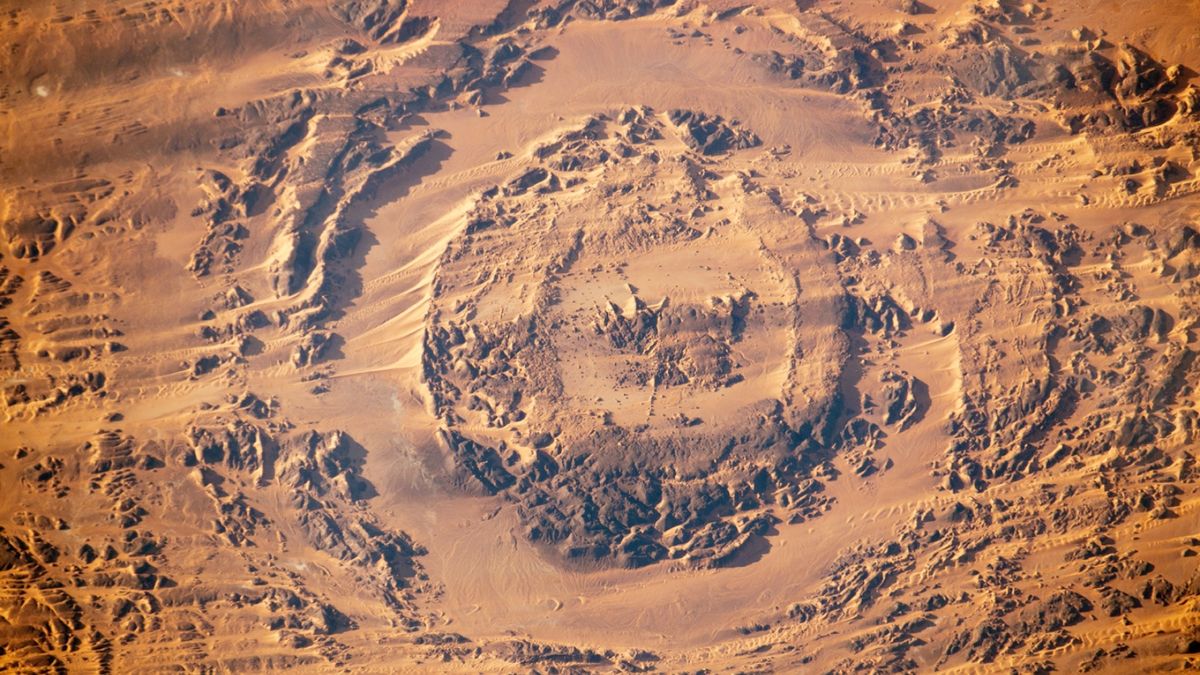
The earth beneath the desert sands is no longer a mystery, but a data-rich environment waiting to be explored. Through the convergence of SAR imaging, AI-driven analysis, autonomous robotics, and high-fidelity digital modeling, we are witnessing the dawn of a transparent desert.
These technologies do more than satisfy scientific curiosity; they provide the tools necessary for resource management, archaeological discovery, and climate mitigation. As our tech continues to evolve, the distinction between the visible surface and the hidden subsurface will continue to blur, revealing a world beneath the sand that is as complex and vital as the one we walk upon. The desert, once a symbol of the unknown, is becoming a testament to the power of modern technology to illuminate the darkest depths of our planet.
aViewFromTheCave is a participant in the Amazon Services LLC Associates Program, an affiliate advertising program designed to provide a means for sites to earn advertising fees by advertising and linking to Amazon.com. Amazon, the Amazon logo, AmazonSupply, and the AmazonSupply logo are trademarks of Amazon.com, Inc. or its affiliates. As an Amazon Associate we earn affiliate commissions from qualifying purchases.