
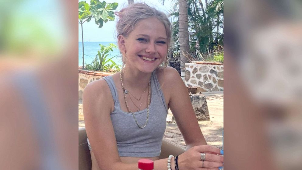
The disappearance of 16-year-old Kiely Rodni in August 2022 from a campground in Truckee, California, sparked one of the most intensive search-and-recovery operations in recent years. While the human element of the story was tragic, the resolution of the case served as a significant case study in the efficacy—and the limitations—of modern technology. From advanced underwater imaging to the complexities of digital footprint analysis, the Kiely Rodni case highlights how specific technological niches are redefining the landscape of search and rescue (SAR).
This article examines the technical infrastructure utilized during the investigation, focusing on sonar engineering, digital forensics, and the evolution of geolocation data in missing persons cases.
The Role of Advanced Sonar Technology in Modern Search and Recovery
One of the most striking aspects of the Kiely Rodni case was that traditional law enforcement dive teams initially failed to locate her vehicle in Prosser Reservoir, despite searching the area. The eventual discovery by the private group “Adventures with Purpose” (AWP) highlighted a critical gap in standard-issue municipal equipment versus specialized consumer and professional sonar tech.
Side-Scan vs. Down-Scan Sonar Engineering
The technology used to find Rodni’s vehicle involved high-frequency side-scan sonar. Unlike traditional “fish finders” or down-scan sonar, which provides a vertical view of what is directly beneath a vessel, side-scan sonar sends out a fan-shaped pulse to the sides. This creates a photorealistic image of the floor of the water body.
In the Rodni case, the technical challenge was the “noise” created by submerged trees and debris in the reservoir. Advanced transducers—the hardware that converts electrical energy into sound—allowed for higher frequency settings (often in the 800kHz to 1.2MHz range). These higher frequencies provide greater resolution, allowing operators to distinguish the hard, angular lines of a vehicle’s chassis from the organic, soft shapes of underwater vegetation. The ability to manipulate these frequencies in real-time is a hallmark of modern maritime gadgets used in forensic recovery.
How “Adventures with Purpose” Utilized Consumer-Grade Imaging
The tech community noted that the equipment used was not necessarily “military grade” but rather high-end consumer-grade hardware from brands like Garmin and Humminbird. This represents a shift in the democratization of search technology. The AWP team utilized LiveScope technology, which offers live, scanning sonar that allows for real-time movement tracking underwater.
The technical distinction here is the “refresh rate” of the imaging. Traditional sonar requires the boat to be moving to build a picture; however, newer phased-array sonar can produce a live feed even while the boat is stationary. This allowed the searchers to pinpoint the exact orientation of the vehicle, which was inverted in roughly 14 feet of water, a depth where light penetration was low and silt was high.
Digital Forensics and the Timeline of Geolocation Data
Before the physical search moved to the water, the investigation relied heavily on the “digital breadcrumbs” left by Rodni’s smartphone and vehicle. In the modern era, a person is rarely “missing” in the digital sense; rather, their data is scattered across various servers and towers.
Cell Tower Triangulation and Handshake Protocols
The last known data point for Kiely Rodni was a “ping” from her phone at approximately 12:33 AM. From a technical perspective, a “ping” is a handshake between a mobile device and a cellular base station. Investigators utilized cell tower triangulation, which measures the Time Difference of Arrival (TDOA) of a signal across three or more towers to estimate a device’s location.
However, in the rugged terrain of the Tahoe National Forest, cell density is low. This led to a wider “error margin” in the geolocation data. Forensic technicians had to account for signal “multipath interference,” where signals bounce off mountains or trees, potentially giving a false reading of the device’s distance from the tower. The analysis of these data packets was crucial in narrowing the search radius to the Prosser Creek Reservoir area.
Analyzing Wearable Tech and Mobile Device Logs
Beyond cellular pings, digital forensic experts look for “heartbeats” from wearable technology and app-based background processes. Many modern apps utilize “Location Services” via Google or Apple, which log GPS coordinates with much higher precision than cell towers (down to a few meters).
Technicians attempted to access Rodni’s “Google Location History” and “Find My” metadata. These logs provide a timestamped pathing of movement. In cases like this, the software challenge is often legal and administrative—accessing encrypted data or obtaining emergency disclosures from tech giants. The technical hurdle is the “dead zone” phenomenon; if a device enters a body of water, the high dielectric constant of water effectively shields the device from transmitting further signals, creating a “digital blackout” at the exact moment of the incident.

The Impact of Crowdsourced Intelligence and Social Media Algorithms
The Kiely Rodni case was a “viral” investigation. This brought a new dimension to the tech side of the search: the management and analysis of massive, unstructured data sets provided by the public.
Leveraging Massive Data Sets from Public Submissions
Law enforcement received over 1,500 tips, many of which included digital media—photos, TikTok videos, and Ring doorbell footage from the surrounding neighborhoods. This created a “Big Data” problem. To process this, digital investigators used specialized software to timestamp and geofence the footage.
By using metadata—the hidden information within a digital file that records the time, date, and GPS coordinates of where a photo was taken—investigators could reconstruct the party at the Prosser Family Campground. Software tools like Cellebrite and various OSINT (Open Source Intelligence) frameworks allowed for the automated scanning of these uploads to identify Rodni’s silver Honda CR-V in the background of other people’s videos, helping to narrow down her departure time.
The Double-Edged Sword of Viral Digital Investigations
While tech helped organize data, the “algorithm” of social media platforms like TikTok and YouTube often hindered the investigation. Algorithms prioritize engagement, which in this case led to the proliferation of “digital noise”—theories generated by AI or speculative content creators that flooded the information pipeline.
From a technical standpoint, this required the implementation of “sentiment analysis” and “keyword filtering” by social media monitoring tools used by the police to filter out noise and find “signal” (actual evidence). The case highlighted a need for better AI-driven tools that can distinguish between “speculative content” and “eyewitness media” during active emergencies.
Future Implications for Search-and-Rescue (SAR) Technology
The resolution of the Kiely Rodni case has sparked a conversation about how technology must evolve to prevent such long delays in finding missing persons in the future.
Integration of AI in Underwater Mapping
One of the most promising tech trends following this case is the development of Autonomous Underwater Vehicles (AUVs) equipped with AI object recognition. Current sonar requires a human eye to interpret the grainy images of the lakebed. Future iterations of this tech involve machine learning models trained on thousands of images of submerged vehicles.
By deploying an AUV that can “recognize” the shape of a car versus a log, search teams could cover vast areas of water in a fraction of the time. This software would work similarly to facial recognition but for mechanical silhouettes in low-visibility environments.
Real-Time Vehicle Tracking as a Standard Safety Feature
The fact that a 2013 Honda CR-V could remain undiscovered in a reservoir for weeks suggests a need for more robust vehicle telematics. While high-end modern vehicles have built-in GPS tracking (like GM’s OnStar), many older or mid-range vehicles lack “black box” connectivity that functions post-submersion.
Tech developers are now looking into low-power, long-range (LoRa) sensors that could be integrated into vehicle frames. These sensors are designed to send out a low-frequency distress signal that can penetrate water more effectively than standard 4G/5G signals. Additionally, the integration of “Automatic Crash Notification” (ACN) systems is becoming a focus for automotive software developers, aiming to ensure that the “last seen” location of a vehicle is automatically uploaded to a cloud server the moment a high-impact event or submersion is detected.
Conclusion
What happened to Kiely Rodni was a confluence of environmental challenges and a tragic accident, but the process of finding her was a strictly technical journey. It proved that while our digital lives are more visible than ever, the physical world—specifically the depths of our lakes and the shadows of our forests—can still hide secrets from standard technology.
The case serves as a pivotal moment for the tech industry, highlighting the need for better sonar accessibility, more precise geolocation protocols, and the development of AI tools capable of sifting through the massive digital footprints of the 21st century. As software and hardware continue to integrate, the goal is to ensure that “missing” becomes a temporary state, resolved in hours rather than weeks, through the precision of forensic engineering.
aViewFromTheCave is a participant in the Amazon Services LLC Associates Program, an affiliate advertising program designed to provide a means for sites to earn advertising fees by advertising and linking to Amazon.com. Amazon, the Amazon logo, AmazonSupply, and the AmazonSupply logo are trademarks of Amazon.com, Inc. or its affiliates. As an Amazon Associate we earn affiliate commissions from qualifying purchases.