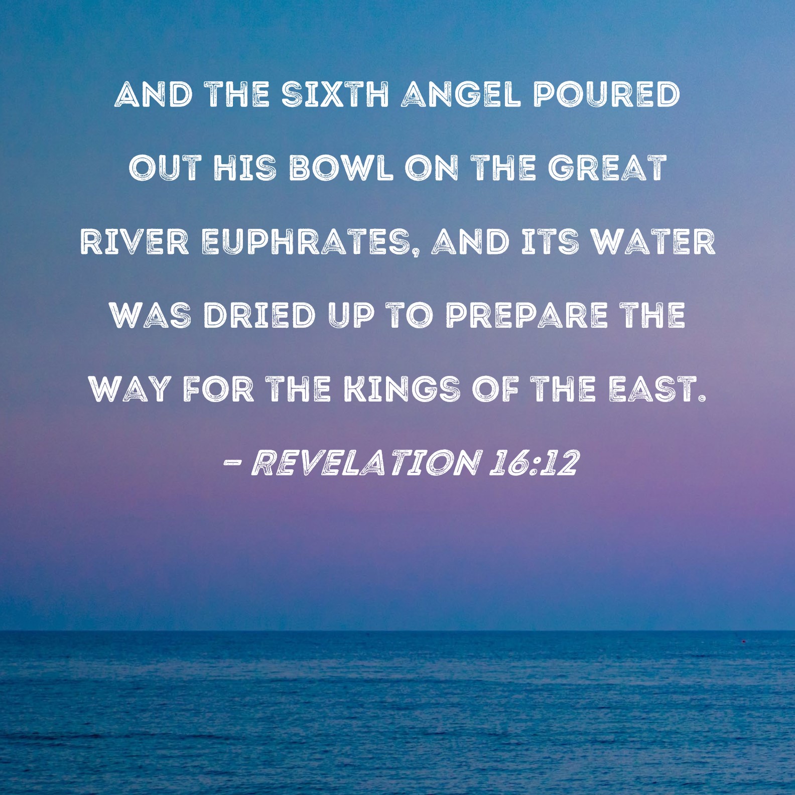
The Euphrates River, a geographical cornerstone mentioned from the Book of Genesis to the Book of Revelation, has long been a focal point of historical and prophetic interest. However, in the 21st century, the conversation has shifted from the parchment of ancient scrolls to the high-resolution pixels of satellite imagery and the predictive power of artificial intelligence. As the river’s water levels reach historic lows—a phenomenon often linked to biblical themes of transformation—the technology sector has stepped in to provide a data-driven framework for understanding this shift. From remote sensing and climate modeling to digital archaeology, technology is now the primary lens through which we monitor the Euphrates, turning ancient narratives into measurable, actionable data.
1. Remote Sensing and Satellite Surveillance: Mapping the Recession
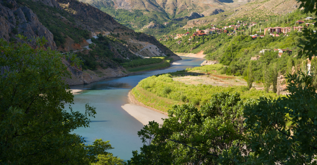
The most immediate way technology interacts with the Euphrates is through Earth observation. For decades, the river has been a vital resource for Turkey, Syria, and Iraq, but recent years have seen a drastic reduction in flow. Where ancient texts describe the river as a mighty boundary, modern technology reveals a thinning ribbon of water under immense pressure.
The Role of NASA’s GRACE Mission
One of the most critical tools in monitoring the Euphrates is the Gravity Recovery and Climate Experiment (GRACE) satellite mission. Unlike traditional cameras, GRACE measures changes in the Earth’s gravity field to detect shifts in water mass. Tech analysts and hydrologists use this data to look beneath the surface, revealing that the Tigris-Euphrates basin is losing groundwater at one of the fastest rates on Earth. For tech enthusiasts, this represents a triumph of gravimetric sensor technology, providing a “X-ray” view of the river’s health that was impossible only twenty years ago.
Multispectral Imaging and Land Use Analysis
Beyond gravity, multispectral sensors on satellites like the European Space Agency’s Sentinel-2 and NASA’s Landsat series provide high-resolution visual evidence of the river’s recession. By analyzing different wavelengths of light, these tools can differentiate between healthy vegetation, dry riverbeds, and urban sprawl. This data is essential for “Digital Security” in the region, as it allows analysts to predict food shortages and potential migrations caused by the river’s drying. The ability to overlay decades of satellite data allows for “Temporal Analysis,” a tech-driven method of witnessing the river’s transformation in a way no human observer could.
2. Artificial Intelligence and Predictive Hydro-Modeling
If satellite imagery tells us what is happening now, Artificial Intelligence (AI) tells us what will happen next. The drying of the Euphrates is no longer just a subject of theological speculation; it is a complex variable in sophisticated climate algorithms. AI and Machine Learning (ML) are being deployed to manage the river’s dwindling resources and predict the geopolitical consequences of its decline.
Neural Networks for Water Management
Tech firms are increasingly applying neural networks to hydrological data. By feeding these models historical flow rates, precipitation patterns, and dam discharge rates from the Atatürk Dam and others, AI can predict future water levels with staggering accuracy. These AI tools are vital for “Smart Agriculture” in the Euphrates valley, allowing farmers to optimize irrigation through IoT-connected sensors that respond to AI-driven forecasts. This represents a pivot from traditional farming to “AgriTech,” where data, not just water, is the primary input.
Algorithmic Conflict Forecasting
The intersection of “Digital Security” and hydrology is found in predictive algorithms designed to identify “water stress” flashpoints. Because the Euphrates crosses multiple borders, its depletion is a matter of regional security. AI-driven platforms analyze social media sentiment, economic data, and water levels to provide early warning systems for civil unrest. In this context, the “prophetic” nature of the river’s drying is translated into “risk assessment models,” where technology attempts to mitigate the human cost of environmental shifts.
3. Digital Archaeology: Uncovering History Through LiDAR and VR
As the Euphrates recedes, it reveals landscapes and ruins that have been submerged or hidden for centuries. Technology is playing a crucial role in documenting these findings before they are lost to time or further environmental decay. This “Digital Archaeology” is a booming niche within the tech world, blending historical preservation with cutting-edge scanning tools.

LiDAR and Subsurface Mapping
Light Detection and Ranging (LiDAR) has revolutionized the study of the Euphrates basin. By firing laser pulses from aircraft, researchers can create 3D maps of the ground surface, even through dense vegetation or shifting sands. Near the Euphrates, LiDAR has identified ancient irrigation canals and forgotten settlements that align with historical accounts. This technology allows us to see the “ghost” of the ancient Euphrates, providing a digital blueprint of how the river shaped civilizations thousands of years ago.
Virtual Reality and Digital Twin Preservation
For sites threatened by conflict or rising temperatures, tech companies are creating “Digital Twins”—highly accurate 3D models—using photogrammetry and VR. These digital replicas allow historians and the public to explore the Euphrates’ heritage in an immersive environment. If the river continues to dry, these VR experiences may become the only way to experience the majesty of the sites mentioned in the Bible. It is a form of digital immortality, where software preserves what the physical environment can no longer sustain.
4. Blockchain and the Future of Transboundary Water Rights
As water becomes a scarcer commodity along the Euphrates, the need for transparent, unalterable record-keeping becomes paramount. This is where Blockchain technology enters the fray. While often associated with cryptocurrency, the underlying ledger technology is being proposed as a solution for “Water Tech” and resource management.
Smart Contracts for Water Sharing
One of the biggest challenges in the Euphrates basin is the lack of trust between nations regarding water quotas. Blockchain-based “Smart Contracts” could automate water sharing based on real-time IoT data from river sensors. When the river reaches a certain level, the contract could automatically trigger release valves at dams or adjust water prices for industrial users. This removes the human element of corruption or political maneuvering, replacing it with the “Digital Security” of an immutable code.
Tokenizing Water Credits
In the realm of “FinTech” and “Green Tech,” there is a growing movement to tokenize water rights. By representing a specific volume of Euphrates water as a digital token on a blockchain, users can trade, save, or donate water credits. This creates a market-driven incentive for conservation. Tech-savvy NGOs are exploring these tools to ensure that even as the river’s physical flow decreases, the equitable distribution of what remains is managed by decentralized, transparent systems.
5. The Infrastructure of Monitoring: IoT and Cybersecurity
The physical management of the Euphrates is handled by massive infrastructure projects, such as the Southeastern Anatolia Project (GAP) in Turkey. The “Tech” story here is the integration of the Internet of Things (IoT) and the subsequent need for robust digital security to protect these vital assets.
IoT Sensor Networks
Thousands of IoT sensors are now embedded along the length of the Euphrates, measuring flow speed, water quality, and silt levels. These sensors transmit data via satellite to centralized hubs, providing a “Real-Time Dashboard” of the river’s status. For tech professionals, this is a massive data-engineering feat, requiring low-power, long-range (LoRaWAN) communication networks in some of the most remote terrains on earth.
Cybersecurity and Critical Infrastructure
With the digitalization of dam controls and water distribution networks comes the risk of cyber warfare. The Euphrates’ infrastructure is a prime target for state-sponsored hacking. Protecting the SCADA (Supervisory Control and Data Acquisition) systems that manage the river’s flow is a top priority for regional digital security firms. The Bible may describe the river as a physical barrier, but in the modern tech landscape, it is a digital one, where the flow of data is just as critical as the flow of water.
In conclusion, while the Bible provides a historical and prophetic context for the Euphrates, modern technology provides the tools to monitor, manage, and preserve it. Through the lens of remote sensing, AI, LiDAR, and blockchain, the river is no longer just a subject of ancient text—it is a data-rich environment that represents the cutting edge of environmental and security technology. As we look to the future, the digital pulse of the Euphrates will be our most accurate guide to understanding the changes in this legendary waterway.
aViewFromTheCave is a participant in the Amazon Services LLC Associates Program, an affiliate advertising program designed to provide a means for sites to earn advertising fees by advertising and linking to Amazon.com. Amazon, the Amazon logo, AmazonSupply, and the AmazonSupply logo are trademarks of Amazon.com, Inc. or its affiliates. As an Amazon Associate we earn affiliate commissions from qualifying purchases.