
In an age where climate volatility and resource scarcity dominate global headlines, the role of the hydrologist has transitioned from a traditional field-based observer to a high-tech data architect. To ask “what is a hydrologist” today is to describe a professional at the intersection of environmental physics, sophisticated software engineering, and predictive analytics. No longer just scientists who study the movement of water, modern hydrologists are the primary operators of complex digital systems designed to monitor, model, and manage the world’s most precious liquid asset.
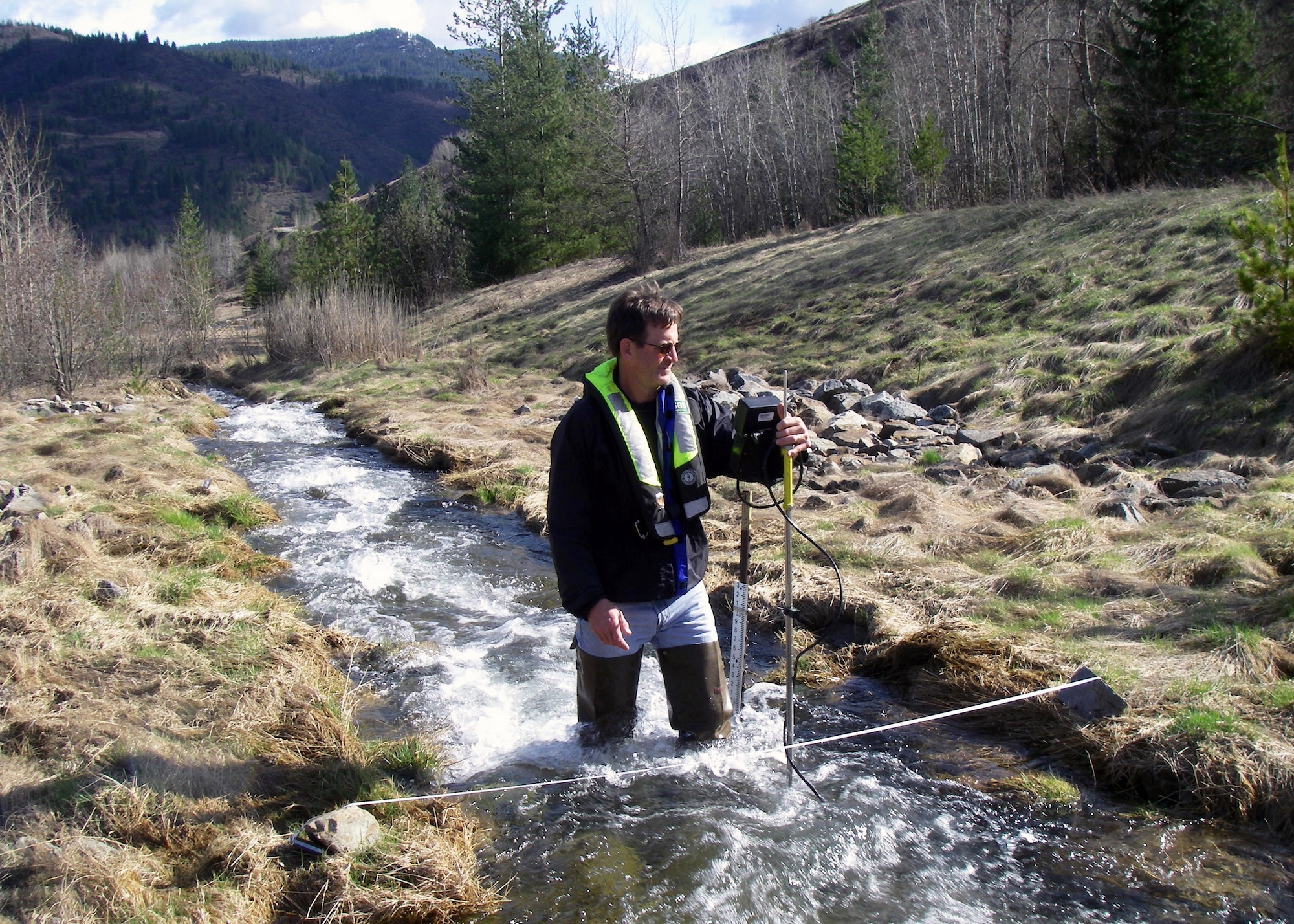
As we move further into the decade, the technology stack used by these professionals has become their defining characteristic. From leveraging satellite constellations to deploying machine learning algorithms that predict catastrophic floods, the hydrologist is a vital figure in the global technology landscape.
Defining the Modern Hydrologist: A Synergy of Environmental Science and Advanced Technology
At its core, a hydrologist is a scientist who studies the distribution, circulation, and physical properties of the Earth’s water. However, in the modern professional context, this definition is incomplete without acknowledging the digital transformation of the field. Today’s hydrologists are as comfortable writing code in Python as they are measuring streamflow in a riverbed.
From Fieldwork to Cloud Computing
Historically, hydrology was a labor-intensive discipline. Data collection involved manual measurements of water levels and soil moisture. While physical observation remains necessary, the modern hydrologist spends a significant portion of their time in cloud-based environments. They manage massive datasets—often referred to as “Big Water Data”—which are harvested from thousands of automated stations worldwide. This shift from physical data logging to automated cloud synchronization has allowed hydrologists to transition into the role of data scientists, interpreting real-time information to make split-second decisions regarding public safety and resource allocation.
The Role of Quantitative Analysis in Water Management
The modern hydrologist uses quantitative analysis to bridge the gap between raw data and actionable insights. This involves using statistical software to identify patterns in precipitation, evaporation, and runoff. By applying mathematical frameworks to hydrological cycles, they can determine the “water balance” of a specific region. In a tech-centric world, this means creating digital replicas of watersheds where every drop of water is accounted for by an algorithm, allowing for precise management of urban reservoirs and agricultural irrigation systems.
The Tech Stack: Software and Modeling Tools Driving Hydrology
The tools of the trade have evolved from simple maps and gauges to a sophisticated ecosystem of software. A hydrologist’s effectiveness is now largely determined by their proficiency with specialized digital platforms that can process spatial and temporal data.
GIS and Spatial Analysis: Mapping the Flow
Geographic Information Systems (GIS) are the backbone of modern hydrology. Platforms like ESRI’s ArcGIS or the open-source QGIS allow hydrologists to visualize how water interacts with different terrains. By layering topographic data with soil types, land use, and vegetation cover, hydrologists can create high-resolution maps that predict how water will behave during a storm. This spatial technology is essential for “What If” scenarios—such as simulating how a new urban development might change the drainage patterns of a local river system.
Hydrodynamic Modeling: Simulating the Future
To understand the future, hydrologists use hydrodynamic modeling software such as HEC-RAS (Hydrologic Engineering Center’s River Analysis System) or SWAT (Soil & Water Assessment Tool). These tools allow professionals to build 1D, 2D, and even 3D simulations of water movement. For instance, a hydrologist can simulate a “1-in-100-year” flood event within a virtual model of a city to identify which streets will be submerged. This predictive power is a cornerstone of modern civil engineering and disaster preparedness, made possible only through high-performance computing.
AI and Machine Learning in Predictive Water Analytics
The most recent leap in hydrological technology is the integration of Artificial Intelligence (AI) and Machine Learning (ML). Hydrologists are now using neural networks to predict groundwater depletion or snowmelt patterns with far greater accuracy than traditional linear models. By training algorithms on decades of historical weather data and river discharge rates, hydrologists can create predictive engines that “learn” how a specific catchment area responds to climate anomalies. This move toward AI-driven hydrology is drastically reducing the margin of error in drought forecasting and emergency response.
Hardware and the Internet of Things (IoT) in Hydrological Research
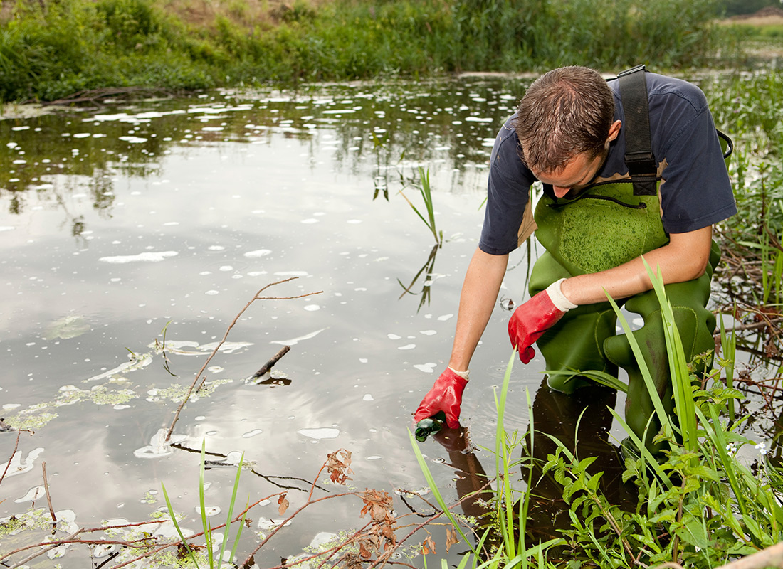
While software processes the data, the hardware collects it. The “Internet of Water” is a burgeoning field within hydrology that utilizes IoT sensors to create a global, interconnected network of monitoring devices.
Smart Sensors and Remote Sensing Tech
Modern hydrologists deploy arrays of IoT-enabled sensors that measure everything from pH levels and turbidity to pressure and flow velocity. These devices are often equipped with cellular or satellite telemetry, allowing them to beam data to a central dashboard in real-time. This “Smart Hydrology” hardware eliminates the need for manual data retrieval and provides a continuous stream of information, which is critical during flash flood events where conditions change by the minute.
Satellite Imagery and LiDAR: A Bird’s Eye View of Water Systems
Hydrologists are some of the primary users of Earth Observation (EO) data. Satellites like those in the NASA/USGS Landsat program or the European Space Agency’s Sentinel fleet provide hydrologists with a macro-view of the planet’s water. Furthermore, LiDAR (Light Detection and Ranging) technology, often mounted on drones or aircraft, allows hydrologists to create ultra-precise 3D models of the ground surface. These “Digital Elevation Models” (DEMs) are so accurate that they can detect millimeter-scale changes in land subsidence caused by excessive groundwater pumping, providing a level of tech-enabled oversight that was impossible twenty years ago.
Solving Global Challenges Through Digital Hydrology
The ultimate goal of a hydrologist is to use their technical expertise to solve some of the world’s most pressing environmental and logistical problems. In the tech niche, this translates to the development of robust systems for infrastructure and safety.
Flood Prediction Systems and Disaster Mitigation
One of the most critical applications of modern hydrology is the development of Early Warning Systems (EWS). By integrating real-time weather feeds with hydrological models, hydrologists build digital platforms that can alert authorities days before a flood occurs. These systems use automated triggers to send notifications to mobile apps and emergency services. This intersection of hydrology and communications technology is a primary factor in reducing the mortality rates associated with water-related natural disasters.
Managing Urban Water Security with Smart Grids
In “Smart Cities,” hydrologists work alongside urban planners to manage “Smart Water Grids.” These grids use data analytics to detect leaks in aging infrastructure, optimize the distribution of treated water, and manage stormwater runoff. By analyzing data from smart meters and pressure sensors, a hydrologist can pinpoint a pipe burst in a city’s underground network within seconds, saving millions of gallons of water and preventing structural damage to the city’s tech-heavy infrastructure.
The Future of the Profession: Automation and the Digital Twin of the Earth
As we look toward the future, the role of the hydrologist will continue to merge with that of the software architect and the systems engineer. The “Digital Twin” concept—a virtual replica of a physical system—is currently being applied to the Earth’s entire hydrological cycle.
The Rise of Autonomous Monitoring
We are entering an era where autonomous underwater vehicles (AUVs) and surface drones are becoming standard tools for hydrologists. These robots can navigate hazardous environments—such as polluted lakes or flooded tunnels—to collect samples and map depths without risking human life. The hydrologist of the future will likely act as a fleet commander for these autonomous systems, directing them via remote interfaces to gather high-fidelity data from the most remote corners of the globe.
Global Water Security as a Tech Frontier
Ultimately, the hydrologist is the gatekeeper of water security. In a world where data is the new oil, water remains the fundamental requirement for life, and the tech used to manage it is becoming increasingly sophisticated. The field is moving toward a decentralized, blockchain-verified data model where water rights and usage can be tracked with total transparency. As a hydrologist, one is not just a scientist; one is a technologist dedicated to ensuring that the digital and physical worlds of water remain in balance.
Through the lens of technology, a hydrologist is an essential architect of our sustainable future. By mastering GIS, AI, IoT, and advanced modeling, they provide the technical foundation upon which our modern civilization is built, ensuring that as our world becomes more digital, our most vital physical resource is managed with surgical precision.
aViewFromTheCave is a participant in the Amazon Services LLC Associates Program, an affiliate advertising program designed to provide a means for sites to earn advertising fees by advertising and linking to Amazon.com. Amazon, the Amazon logo, AmazonSupply, and the AmazonSupply logo are trademarks of Amazon.com, Inc. or its affiliates. As an Amazon Associate we earn affiliate commissions from qualifying purchases.