
In an era of global connectivity, the question of a ship’s precise location is no longer a matter of maritime guesswork or radio check-ins. For the Carnival Liberty, a Conquest-class cruise ship weighing over 110,000 gross tons, being “lost at sea” is a physical impossibility thanks to a sophisticated layer of geospatial technology, satellite arrays, and digital infrastructure. Understanding where the Carnival Liberty is at any given moment requires a deep dive into the Automatic Identification System (AIS), global telemetry standards, and the increasingly complex world of maritime Internet of Things (IoT).
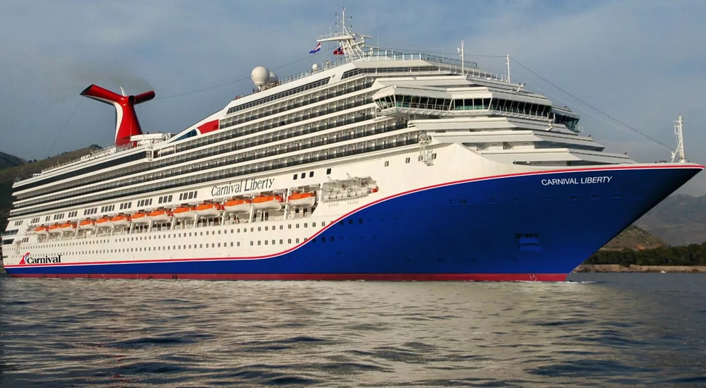
Determining the location of a vessel this size involves a seamless orchestration of hardware and software that bridges the gap between the vast, empty horizon of the ocean and the digital screens of port authorities, enthusiasts, and family members back home.
The Foundation of Global Tracking: Automatic Identification System (AIS)
The primary technology responsible for broadcasting the Carnival Liberty’s location is the Automatic Identification System (AIS). Originally designed as a collision-avoidance tool for bridge officers, AIS has evolved into the backbone of global maritime transparency.
How AIS Hardware Operates
The Carnival Liberty is equipped with a Class A AIS transceiver. This high-powered device automatically broadcasts a wealth of data over VHF (Very High Frequency) radio bands. Unlike standard GPS, which is a passive receiving technology, AIS is an active broadcasting system. Every few seconds, the ship’s transponder sends out a digital packet containing its unique Maritime Mobile Service Identity (MMSI) number, its current GPS coordinates, its speed over ground (SOG), and its course over ground (COG).
This data is received by two primary types of infrastructure: terrestrial stations and satellite constellations. When the Carnival Liberty is near the coast—sailing near its homeports or navigating the Caribbean channels—its signal is picked up by land-based VHF antennas. However, once the vessel moves into the deep ocean, the signal is captured by Satellite-AIS (S-AIS). Companies like Orbcomm, Spire, and ExactEarth operate low-earth orbit (LEO) satellites that “listen” for these VHF signals from space, ensuring that the ship’s digital heartbeat is never out of range.
Static and Dynamic Data Sets
When you look up the Carnival Liberty on a tracking app, you are seeing a fusion of two data types. “Dynamic data,” such as position and speed, is updated automatically by the ship’s sensors. “Static data,” which includes the ship’s name, dimensions, and destination, is manually programmed into the AIS unit by the bridge crew. If the ship is en route to Nassau or Cozumel, that destination is broadcast as a digital string, allowing global tracking algorithms to predict its arrival time with remarkable precision.
The Consumer Interface: Data Aggregation and Visualization
While the raw AIS data is a stream of NMEA 0183 sentences (a standard protocol for maritime electronics), the general public interacts with this data through sophisticated web platforms and mobile applications. These services, such as CruiseMapper, MarineTraffic, and VesselFinder, serve as the graphical user interface for the world’s oceans.
API Integration and Cloud Processing
The journey from a radio signal on the Carnival Liberty to a moving icon on a smartphone involves intense cloud-based data processing. Tracking platforms ingest billions of AIS messages daily. They use complex APIs to filter out noise, correct for signal “ghosting” (where a signal might bounce off the atmosphere and show a false location), and verify the data against historical movement patterns.
These platforms use terrestrial-first logic. Because satellite data is more expensive to acquire and process, many free tracking tools will show the Carnival Liberty’s “last known position” from a land-based station. If the ship is in the middle of the Atlantic or far out in the Gulf of Mexico, the data might appear delayed unless the platform is utilizing a real-time satellite feed. This distinction is crucial for tech-savvy users who require up-to-the-minute accuracy.
Geospatial Mapping and Overlays
Modern maritime tracking tech does more than just place a dot on a map. Advanced visualization tools overlay weather patterns, sea states, and port congestion data. By integrating meteorological APIs, these platforms can show if the Carnival Liberty is diverting its course to avoid a tropical depression or if it is waiting in a “stack” outside a busy port. This level of transparency is a direct result of the democratization of geospatial data.
Onboard Connectivity: From Navigation to Guest Experience
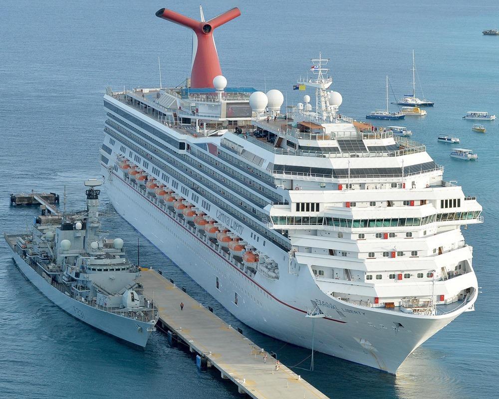
The technology that tells us where the Carnival Liberty is located is inextricably linked to the technology that keeps the ship connected internally. In recent years, the maritime industry has undergone a connectivity revolution, moving away from sluggish, high-latency satellite links to high-speed, multi-orbit solutions.
The Shift to Starlink and LEO Satellites
Carnival Corporation has been a frontrunner in implementing SpaceX’s Starlink Maritime service across its fleet, including the Carnival Liberty. This shift from traditional Geostationary (GEO) satellites—which sit 22,000 miles above the Earth—to Low Earth Orbit (LEO) satellites at approximately 340 miles has transformed the ship’s digital capabilities.
For the purpose of tracking and operations, this means lower latency for data transmission. The bridge can sync its navigational charts in real-time, and the ship’s operational data (fuel consumption, engine health, and coordinates) can be streamed back to Carnival’s Fleet Operations Center (FOC) in Miami instantly. This “digital twin” technology allows shoreside engineers to monitor the Carnival Liberty’s performance as if they were standing on the bridge.
The IoT Ecosystem Onboard
Inside the hull of the Carnival Liberty, a sophisticated Internet of Things (IoT) network is at play. Using a mesh of Wi-Fi access points and Bluetooth Low Energy (BLE) beacons, the ship’s infrastructure can track assets and even guest locations through integrated apps like the Hub App. While this internal tracking is distinct from the global AIS tracking, they both rely on the same fundamental principle: the constant broadcast and reception of digital identity markers to create a real-time situational map.
Security, Privacy, and the Risks of Open Tracking
While the ability to find the Carnival Liberty “right now” is a convenience for many, it presents unique challenges in the realm of digital security and maritime safety. The openness of the AIS protocol is both its greatest strength and its primary vulnerability.
AIS Spoofing and Cybersecurity
AIS was designed in an era before modern cybersecurity threats were a primary concern for the maritime sector. The signals are unencrypted and unauthenticated. In the tech world, this has led to discussions regarding “AIS spoofing,” where a malicious actor could broadcast a false signal to make a ship appear where it is not, or to hide its actual location. For a high-profile cruise ship like the Carnival Liberty, maintaining the integrity of its digital signal is a matter of national and international security.
To combat this, modern bridge systems use a “sensor fusion” approach. The ship does not rely solely on AIS or GPS. It cross-references data from marine radar, electronic chart display and information systems (ECDIS), and even traditional inertial navigation units. If the GPS signal is jammed or spoofed, the ship’s internal tech can detect the discrepancy and alert the officers.
Data Privacy in the Public Domain
There is also the ongoing debate regarding the privacy of vessel movements. While commercial ships are legally required to broadcast their positions for safety, the availability of this data on the open web allows for detailed tracking of a company’s operational habits. Competitors and analysts use this data to study port turnaround times, fuel-efficient routing strategies, and overall fleet utilization. In the context of the Carnival Liberty, its location is a data point in a much larger economic model of the cruise industry.
The Future of Maritime Geolocation
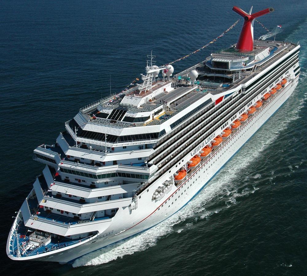
As we look toward the future, the technology used to locate the Carnival Liberty will only become more precise. We are moving toward a concept known as “e-Navigation,” an initiative by the International Maritime Organization (IMO) to harmonize the collection and exchange of maritime information.
The next generation of tracking will likely involve “VDES” (VHF Data Exchange System), which offers significantly higher data rates than current AIS. This will allow the Carnival Liberty to broadcast not just its location, but complex environmental data, detailed passage plans, and real-time video feeds from the bridge to automated traffic management systems.
Furthermore, the integration of Artificial Intelligence (AI) into tracking platforms is changing how we interpret a ship’s location. Predictive algorithms can now analyze the Carnival Liberty’s current speed and historical data to predict its arrival time within a margin of minutes, accounting for currents and wind resistance.
In summary, when someone asks, “Where is the Carnival Liberty right now?” the answer is provided by a global network of VHF radio waves, orbiting satellite clusters, and cloud-based data processors. It is a testament to the power of modern maritime technology that a 110,000-ton vessel can be pinpointed on a digital map with an accuracy of just a few meters, no matter where it sails in the world’s vast oceans.
aViewFromTheCave is a participant in the Amazon Services LLC Associates Program, an affiliate advertising program designed to provide a means for sites to earn advertising fees by advertising and linking to Amazon.com. Amazon, the Amazon logo, AmazonSupply, and the AmazonSupply logo are trademarks of Amazon.com, Inc. or its affiliates. As an Amazon Associate we earn affiliate commissions from qualifying purchases.