
In an increasingly interconnected and data-driven world, precise location, accurate measurement, and reliable verification are paramount. At the heart of many technologies that enable these capabilities lies a deceptively simple yet profoundly powerful concept: triangulation. Far from being an arcane term reserved for surveyors and cartographers, triangulation is a foundational principle underpinning everything from the smartphone in your pocket to advanced robotics and cybersecurity protocols. Understanding “what is triangulate” is to grasp a core mechanism that defines much of our modern technological landscape, allowing us to pinpoint objects, reconstruct environments, and validate information with remarkable precision.

At its essence, triangulation is a method for determining the position of an unknown point by forming triangles to it from known points. This mathematical technique, rooted in geometry and trigonometry, has evolved significantly from its historical applications in land surveying to become an indispensable tool across a myriad of technological domains. This article delves into the technical definition, explore its diverse applications, examine its underlying methodologies, and discuss both its inherent advantages and the challenges it presents in the ever-evolving tech sphere.
The Core Principle of Triangulation
To truly appreciate the technological marvels built upon triangulation, it’s crucial to first understand its fundamental geometric underpinnings. The principle is elegant in its simplicity, yet robust in its application.
Geometric Foundations: Angles, Distances, and Known Points
The bedrock of triangulation lies in the immutable properties of triangles. Specifically, if you know the length of one side of a triangle and the two angles adjacent to that side, you can uniquely determine the lengths of the other two sides and the third angle. Alternatively, if you know the lengths of all three sides, you can uniquely determine all three angles. Triangulation leverages these facts to locate an unknown point.
Imagine you have two known points, A and B, whose exact coordinates are established. To find the location of a third, unknown point C, a triangulation system typically performs one of two primary measurements:
-
Angle Measurement (Angular Intersection): An observer at point A measures the angle between the line segment AB and the line segment AC. Similarly, an observer at point B measures the angle between BA and BC. With the known distance between A and B (the baseline) and these two measured angles, trigonometry can precisely calculate the distances AC and BC, thereby pinpointing the exact coordinates of C.
-
Distance Measurement (Trilateration): While often confused with triangulation, trilateration specifically focuses on measuring distances. In this method, the system measures the distance from point C to point A, and then the distance from point C to point B. If C is a point on a 2D plane, knowing two distances from two fixed points (A and B) narrows C’s location down to two possible points (the intersection of two circles). To resolve this ambiguity and determine a unique position, a third known point D and the distance CD are typically required. For 3D positioning, at least three distance measurements are needed, and often four are used for greater accuracy and to account for clock synchronization errors, as seen in GPS.
Crucially, the accuracy of triangulation is highly dependent on the precision of the measurements (angles or distances) and the stability of the known baseline. Small errors in these inputs can propagate and lead to significant inaccuracies in the calculated position of the unknown point.
Beyond Surveying: From Land to Data
Historically, triangulation’s most prominent application was in land surveying and cartography. Pioneering engineers used the technique to map vast territories, establish property boundaries, and create detailed navigational charts. By creating a network of interconnected triangles across a landscape, they could accurately determine the relative positions of countless points, laying the groundwork for modern geographical understanding.
However, the advent of digital technology, advanced sensors, and sophisticated computational power has dramatically expanded the scope of triangulation. Today, its principles are applied not just to physical locations on Earth but also to virtual spaces, electromagnetic signals, and abstract data points. It has transformed from a manual, ground-based technique into an automated, multi-modal process that forms the backbone of countless digital services and intelligent systems. This evolution marks a significant shift, demonstrating triangulation’s adaptability and enduring relevance in the rapidly accelerating world of technology.
Ubiquitous Applications of Triangulation in Modern Tech
The true impact of triangulation becomes evident when examining its pervasive role in the technologies we interact with daily and those operating behind the scenes. Its applications span diverse sectors, from personal navigation to industrial automation and digital content creation.
Global Positioning Systems (GPS) and Location Services
Perhaps the most recognized application of triangulation is in Global Positioning Systems (GPS). When your smartphone or car’s navigation system pinpoints your location, it’s utilizing a sophisticated form of trilateration. A GPS receiver on Earth listens for signals from multiple orbiting satellites. Each satellite transmits its exact position and the precise time the signal was sent. By measuring the time difference between when the signal was sent and when it was received, the receiver can calculate its distance from each satellite (distance = speed of light × time difference).
With distance measurements from at least four satellites (three for 2D position plus one for altitude and to correct receiver clock errors), the receiver can accurately determine its latitude, longitude, and altitude. This capability is fundamental to modern navigation, ride-sharing apps, emergency services (E911), precision agriculture, logistics, and countless other location-aware applications that have become integral to contemporary life.
Wireless Networks and Mobile Device Location
Beyond satellite-based systems, triangulation is also critical for location services within terrestrial wireless networks. Cellular tower triangulation is commonly used to estimate the location of mobile phones. When your phone connects to the network, it communicates with multiple cell towers. The network can estimate your phone’s position by measuring signal strength, angle of arrival (AoA), or time difference of arrival (TDoA) from at least three towers. While less precise than GPS, this method is crucial for locating phones indoors or in urban canyons where GPS signals might be weak, and it forms the basis for emergency calls to route you to the nearest dispatcher.
Similarly, Wi-Fi positioning systems (WPS) utilize triangulation/trilateration for indoor navigation and asset tracking. By measuring the signal strength (Received Signal Strength Indicator – RSSI) from multiple known Wi-Fi access points, devices can estimate their position within a building. This is invaluable for large venues, hospitals, warehouses, and even smart homes, enabling services like indoor mapping, targeted advertising, and tracking valuable assets.
Computer Vision and 3D Modeling
In the realm of computer vision and robotics, triangulation is a cornerstone for perceiving and reconstructing 3D environments. Stereo vision systems, mimicking human binocular vision, use two cameras spaced apart (a known baseline). By identifying corresponding points in the images captured by both cameras and knowing the cameras’ relative positions and orientations, algorithms can triangulate the 3D coordinates of those points in space. This enables:
-
Depth perception: Allowing robots and autonomous vehicles to understand the distance to objects.
-
3D reconstruction: Creating detailed 3D models of objects, scenes, and even entire environments, used in architecture, gaming, virtual reality (VR), and augmented reality (AR).
-
Object tracking and recognition: Enhancing the ability of AI systems to interact with the physical world.
Advanced techniques like structure from motion (SfM) and simultaneous localization and mapping (SLAM) also heavily rely on triangulation, often combining it with other sensor data to build dense 3D maps and simultaneously determine the position of the sensor system within that map.
Data Verification and Digital Security
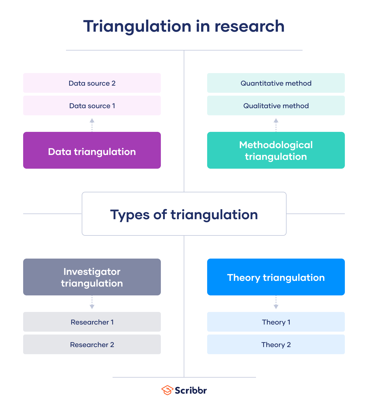
While less direct in its geometric sense, the principle of triangulation extends metaphorically into data verification and digital security. Here, “triangulation” refers to the process of corroborating information or assessing risk by cross-referencing multiple, independent data sources.
For example, in fraud detection, systems might triangulate a transaction’s legitimacy by comparing the user’s typical spending patterns, geographic location, device ID, and recent login history. If multiple independent data points raise red flags, it suggests a higher probability of fraud. In cybersecurity intelligence, analysts triangulate threats by combining insights from various sources: threat intelligence feeds, network logs, endpoint telemetry, and user behavior analytics. By finding commonalities and discrepancies across these independent views, they can more accurately identify, prioritize, and respond to potential attacks, preventing false positives and ensuring robust digital defenses. This abstract application of triangulation embodies the idea of using multiple “known points” (verified data sources) to validate or locate an “unknown point” (truth or threat).

Types and Techniques of Triangulation
The broad applicability of triangulation stems from the variety of techniques and underlying principles that can be employed, often tailored to specific technological needs and environmental constraints.
Angle-Based Triangulation (Angular Intersection)
This is the classic form, as discussed in the geometric foundations. It involves measuring the angles from two known reference points to an unknown target. This method is fundamental in traditional surveying instruments like theodolites and in some modern optical tracking systems. Its accuracy depends heavily on the precision of angular measurements and the length of the baseline between the two known points. A longer baseline generally allows for more accurate angle measurements relative to the target, reducing the impact of small angular errors.
Distance-Based Triangulation (Trilateration)
As distinguished earlier, trilateration focuses on measuring distances from multiple known points. GPS is the most prominent example. This method is highly effective because distance measurements can often be made very precisely, especially with time-of-flight measurements using radio waves or light. However, it typically requires at least three distance measurements for a unique 2D position and four for a 3D position, making it resource-intensive in terms of transmitting signals and calculating distances.
Time-of-Flight (ToF) Triangulation
A specialized form of trilateration, ToF triangulation relies on measuring the time it takes for a signal (e.g., radio waves, sound waves, light pulses) to travel from a transmitter to a receiver. Knowing the signal’s speed, the distance can be calculated.
-
Radar and Lidar: These technologies use radio waves and laser light, respectively, to measure distances by emitting pulses and timing their return. They are crucial in autonomous vehicles, robotics, and environmental mapping.
-
Sonar: Uses sound waves for underwater distance measurement and mapping.
-
Ultrawideband (UWB): This radio technology offers highly precise ToF measurements, enabling very accurate indoor positioning and ranging for applications like secure keyless entry and proximity sensing.
Sensor Fusion and Hybrid Approaches
Modern technological systems rarely rely on a single triangulation method in isolation. Instead, they increasingly employ sensor fusion, combining data from multiple sensors and different triangulation techniques with other localization methods (like inertial navigation or dead reckoning) to achieve higher accuracy, robustness, and reliability. For instance, an autonomous drone might use GPS for outdoor navigation, switch to Wi-Fi triangulation indoors, and constantly refine its position using lidar-based SLAM and an Inertial Measurement Unit (IMU) to compensate for GPS signal loss or environmental interference. This hybrid approach ensures seamless and accurate positioning across diverse operational environments, leveraging the strengths of each method while mitigating their individual weaknesses.
The Advantages and Challenges of Triangulation in Tech
Triangulation offers compelling advantages, making it a preferred technique in many technological applications. However, like any sophisticated method, it also comes with inherent challenges that engineers and developers must address.
Precision and Reliability
One of the primary advantages of triangulation is its potential for high precision and reliability. When implemented correctly with accurate measurements and stable reference points, it can pinpoint locations and dimensions with remarkable exactitude. This precision is critical for applications like:
-
Surveying and Mapping: Ensuring accurate land records and geographical data.
-
Autonomous Navigation: Enabling self-driving cars, drones, and robots to operate safely and effectively.
-
Industrial Metrology: Precisely measuring components for manufacturing quality control.
-
Scientific Research: Accurately tracking wildlife, monitoring geological shifts, or positioning experimental apparatus.
The mathematical certainty derived from geometric principles provides a robust framework that is less prone to cumulative errors than methods like dead reckoning over long periods.
Environmental Factors and Interference
Despite its strengths, triangulation is susceptible to various environmental factors and interference that can degrade its accuracy.
-
Line-of-Sight Obstruction: For optical or radio-based triangulation, any obstruction (buildings, mountains, dense foliage) between the known points and the unknown point can block or attenuate signals, preventing accurate measurements. This is a common issue for GPS in urban canyons or dense forests.
-
Multi-path Interference: Signals can reflect off surfaces (e.g., buildings, ground), causing them to arrive at the receiver via multiple paths and at different times. This can lead to erroneous distance or angle calculations, particularly in cluttered environments.
-
Signal Noise and Attenuation: Weak signals, atmospheric conditions, or electronic noise can introduce errors into measurements, affecting the overall precision of the triangulation.
-
Geometric Dilution of Precision (GDOP): This refers to the geometric arrangement of the known reference points relative to the unknown point. If the reference points are too close together or in an unfavorable configuration, even small measurement errors can lead to large positioning errors. An optimal spread of reference points is crucial for minimizing GDOP.
Computational Complexity and Resource Requirements
Implementing sophisticated triangulation systems, especially those involving sensor fusion or real-time processing, can demand significant computational power and resource requirements.
-
Real-time Processing: For applications like autonomous vehicles or augmented reality, triangulation calculations must be performed in milliseconds to keep up with dynamic environments, requiring powerful processors and optimized algorithms.
-
Data Volume: Systems that rely on multiple sensors or dense point clouds generate vast amounts of data that need to be processed, filtered, and analyzed, posing challenges for storage and bandwidth.
-
Sensor Calibration: Each sensor in a triangulation system (cameras, lidar, UWB transceivers) requires precise calibration to ensure accurate measurements, adding to the setup and maintenance complexity.
-
Energy Consumption: Continuous signal transmission and reception, coupled with heavy computation, can lead to high energy consumption, which is a critical concern for battery-powered mobile devices and remote sensors.
Privacy Concerns (in Location Tracking)
As location-based services become ubiquitous, the widespread use of triangulation for tracking individuals and devices raises significant privacy concerns. The ability to continuously monitor someone’s movements via GPS, Wi-Fi, or cellular networks can be exploited for surveillance, profiling, or unauthorized data collection. This necessitates robust legal frameworks, ethical guidelines, and user consent mechanisms to balance the benefits of location-aware technologies with individual rights to privacy. Developers and policymakers must work in tandem to ensure that triangulation, while a powerful technical tool, is used responsibly and ethically.
Conclusion
Triangulation, stemming from basic geometric principles, has transcended its origins to become an indispensable and multifaceted tool in the modern technological ecosystem. From guiding your journey with GPS to enabling the spatial awareness of autonomous robots and fortifying digital defenses, its applications are vast and varied. Understanding “what is triangulate” reveals a core mechanism that underpins much of our smart infrastructure and digital interactions.
While facing challenges such as environmental interference, computational demands, and critical privacy considerations, the ingenuity of engineers continues to push the boundaries of its implementation. Through advancements in sensor technology, sophisticated algorithms, and the powerful synergy of sensor fusion, triangulation remains at the forefront of innovation. It is a testament to the enduring power of fundamental scientific principles, continuously adapted and refined, that will undoubtedly continue to shape the trajectory of technological progress for decades to come, enabling ever more precise, reliable, and intelligent systems.
aViewFromTheCave is a participant in the Amazon Services LLC Associates Program, an affiliate advertising program designed to provide a means for sites to earn advertising fees by advertising and linking to Amazon.com. Amazon, the Amazon logo, AmazonSupply, and the AmazonSupply logo are trademarks of Amazon.com, Inc. or its affiliates. As an Amazon Associate we earn affiliate commissions from qualifying purchases.