
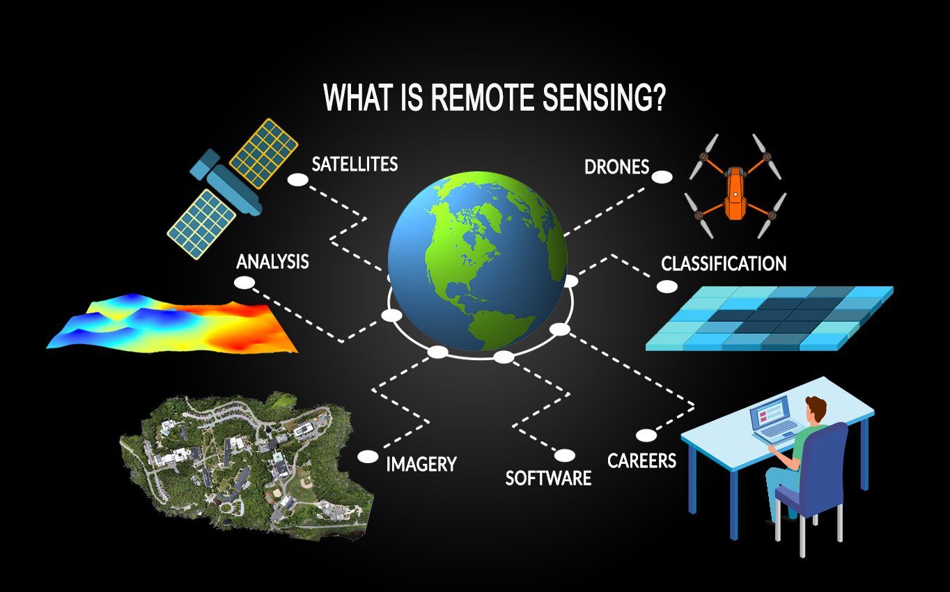
In the rapidly evolving landscape of modern technology, the ability to gather information about an object or environment without being in physical contact with it has become a cornerstone of innovation. This capability is facilitated by remote sensors—sophisticated devices that detect and monitor the physical characteristics of an area by measuring its reflected and emitted radiation. From the satellites orbiting thousands of miles above Earth to the proximity sensors in a smartphone, remote sensing technology is the invisible thread connecting our physical reality to the digital world.
Understanding remote sensors requires a deep dive into the physics of data acquisition, the hardware configurations that make it possible, and the sophisticated software ecosystems that translate raw signals into actionable insights. As we move further into the era of the Internet of Things (IoT) and artificial intelligence, remote sensors are no longer just tools for specialized scientists; they are fundamental components of the global tech stack.
How Remote Sensors Work: The Physics of Data Acquisition
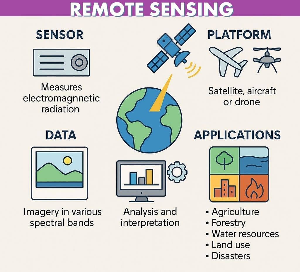
At its most fundamental level, remote sensing is the process of detecting energy. Every object on Earth reflects, absorbs, or emits electromagnetic energy in specific ways based on its molecular structure and temperature. Remote sensors are designed to capture this energy and convert it into a signal that can be recorded and processed.
Active vs. Passive Sensing
Remote sensors are generally categorized into two primary types: passive and active.
Passive sensors detect natural energy (radiation) that is emitted or reflected by the object or scene being observed. The most common source of this radiation is reflected sunlight. When a satellite captures an optical image of a forest, it is utilizing passive sensing by recording the solar energy reflected off the leaves. Thermal infrared sensors are also passive, as they detect the heat energy emitted by objects.
Active sensors, on the other hand, provide their own energy source for illumination. The sensor emits a signal (such as a pulse of light or a radio wave) toward the target and then measures the “backscatter”—the energy that reflects back to the device. This allows active sensors to function regardless of lighting conditions or weather, making them essential for high-precision mapping and nighttime surveillance.
The Electromagnetic Spectrum
To understand the utility of these sensors, one must look beyond the visible light spectrum. While human eyes can only see a narrow band of wavelengths, remote sensors can “see” across the entire electromagnetic spectrum.
- Ultraviolet (UV): Used for detecting atmospheric gases and monitoring ozone layers.
- Visible Light: Used for standard photography and vegetation mapping.
- Infrared (IR): Critical for heat detection, moisture analysis, and night vision.
- Microwave/Radio: Used in radar systems to penetrate clouds, smoke, and even soil.
By capturing data across multiple bands—a process known as multispectral or hyperspectral imaging—remote sensors can identify the chemical composition of a surface, the health of a crop, or the presence of specific minerals deep underground.
Key Technologies and Hardware in Modern Remote Sensing
The “Tech” in remote sensing has seen exponential growth over the last decade. Miniaturization and the reduction in hardware costs have moved these sensors from the exclusive domain of government agencies like NASA to consumer electronics and industrial automation.
LiDAR (Light Detection and Ranging)
LiDAR is perhaps the most transformative remote sensing technology in the current tech cycle. It works by firing rapid pulses of laser light at a surface—up to hundreds of thousands of pulses per second—and measuring the time it takes for each pulse to return. This creates a dense “point cloud” that can be used to generate highly accurate 3D maps of the environment.
In the automotive sector, LiDAR is the “eyes” of self-driving cars, allowing the vehicle’s AI to identify pedestrians and obstacles in three dimensions. In consumer tech, Apple integrated LiDAR into the iPhone Pro and iPad Pro models to enhance augmented reality (AR) experiences and improve low-light photography.
SAR (Synthetic Aperture Radar)
Synthetic Aperture Radar is a form of active sensing that uses the motion of the sensor platform (like a satellite or aircraft) to simulate a much larger antenna. This allows SAR to produce high-resolution imagery even from great distances. Because it uses microwave frequencies, SAR can see through clouds, fog, and darkness. This makes it invaluable for monitoring natural disasters, tracking sea ice movement, and conducting maritime surveillance where optical sensors would fail.
IoT and Edge Computing Integration
The modern remote sensing ecosystem is increasingly defined by the integration of sensors with IoT (Internet of Things) frameworks. We are seeing a shift toward “Edge Sensing,” where the data processing happens on the device itself rather than in a distant cloud server.
For example, industrial remote sensors on a manufacturing line can detect microscopic vibrations or temperature spikes that indicate a machine is about to fail. By processing this data locally at the “edge,” the system can trigger an emergency shutdown in milliseconds, preventing catastrophic hardware damage.
Industrial and Consumer Applications
Remote sensors have become ubiquitous, driving efficiency and safety across nearly every sector of the global economy.
Precision Agriculture and Environmental Monitoring
In the agricultural sector, remote sensors mounted on drones or satellites are used to practice “precision farming.” By analyzing the Normalized Difference Vegetation Index (NDVI)—a calculation based on how plants reflect visible and near-infrared light—farmers can determine which specific areas of a field need more water or fertilizer. This reduces waste and increases crop yields significantly.
Environmentally, remote sensors are our primary tools for tracking climate change. They monitor the rate of glacial melting, the extent of deforestation in the Amazon, and the concentration of greenhouse gases in the atmosphere. Without these sensors, our understanding of planetary health would be based on guesswork rather than empirical data.
Smart Cities and Infrastructure
In the realm of “Smart Cities,” remote sensors are used to manage traffic flow, monitor air quality, and maintain public infrastructure. Acoustic sensors can detect the sound of a gunshot and alert authorities in seconds, while ultrasonic sensors in waste bins can notify collection services when they are full, optimizing logistics.
Structural health monitoring is another critical use case. Remote sensors embedded in bridges and skyscrapers monitor stress levels and structural integrity, identifying microscopic cracks or shifts that could lead to failure long before they are visible to the human eye.
Autonomous Systems and Robotics
Beyond self-driving cars, remote sensing is the backbone of the robotics revolution. Drones used for package delivery rely on ultrasonic and optical sensors for “sense and avoid” capabilities. In automated warehouses, robots use infrared and laser sensors to navigate complex aisles and pick items with millimetric precision.
The Intersection of AI and Remote Sensing
The sheer volume of data generated by remote sensors is overwhelming. A single hyperspectral satellite can produce terabytes of data daily. This is where Artificial Intelligence (AI) and Machine Learning (ML) become indispensable.
Automated Feature Extraction
In the past, human analysts had to manually look at satellite imagery to count houses or identify changes in terrain. Today, computer vision algorithms—specifically Convolutional Neural Networks (CNNs)—can automatically identify and categorize features in sensor data. AI can scan thousands of square miles of sensor data to find illegal mining operations, track the movement of military assets, or estimate the occupancy rate of retail parking lots as a proxy for economic health.
Predictive Analytics
By feeding historical sensor data into machine learning models, tech companies can now predict future events with high accuracy. In the energy sector, remote sensors on wind turbines provide data on wind speed and mechanical stress. AI models analyze this data to predict when a turbine will require maintenance, reducing downtime and operational costs. Similarly, in the financial sector, “alternative data” derived from remote sensors (like the number of oil tankers at sea) is used by hedge funds to predict commodity price fluctuations.
Challenges and the Future of Remote Sensing
As remote sensing technology becomes more powerful and pervasive, several challenges and trends are shaping its future trajectory.
Data Privacy and Security
The increasing resolution of remote sensors raises significant privacy concerns. High-resolution satellite imagery is now capable of identifying individual cars and even tracking human movement patterns. As sensors become more integrated into our homes and cities, the security of the data they collect becomes paramount. Securing the sensor-to-cloud pipeline against cyberattacks is a major focus for digital security firms.
The New Space Race and Satellite Constellations
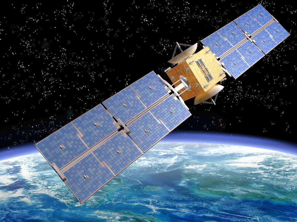
The “New Space” era, led by companies like SpaceX and Planet, has dramatically lowered the cost of putting remote sensors into orbit. We are moving away from a few massive, expensive satellites toward “constellations” of hundreds of small, cheap satellites (CubeSats). This allows for “high-revisit” sensing, where any point on Earth can be imaged multiple times a day rather than once every few weeks.
Miniaturization and the “Sensorization” of Everything
The future of remote sensing lies in miniaturization. We are seeing the development of “smart dust”—microscopic sensors that can be dispersed in the environment to monitor everything from soil moisture to atmospheric pollutants. As sensors become smaller, cheaper, and more energy-efficient, we will see the “sensorization” of everyday objects, turning the physical world into a fully searchable, real-time digital database.
Remote sensors are the bridge between our physical environment and the digital systems we use to manage it. By extending our senses across the electromagnetic spectrum and across the globe, these devices provide the data necessary to solve some of the world’s most complex technical challenges. From the macro-scale of planetary monitoring to the micro-scale of automated manufacturing, remote sensors are the foundational technology of the 21st century.
aViewFromTheCave is a participant in the Amazon Services LLC Associates Program, an affiliate advertising program designed to provide a means for sites to earn advertising fees by advertising and linking to Amazon.com. Amazon, the Amazon logo, AmazonSupply, and the AmazonSupply logo are trademarks of Amazon.com, Inc. or its affiliates. As an Amazon Associate we earn affiliate commissions from qualifying purchases.