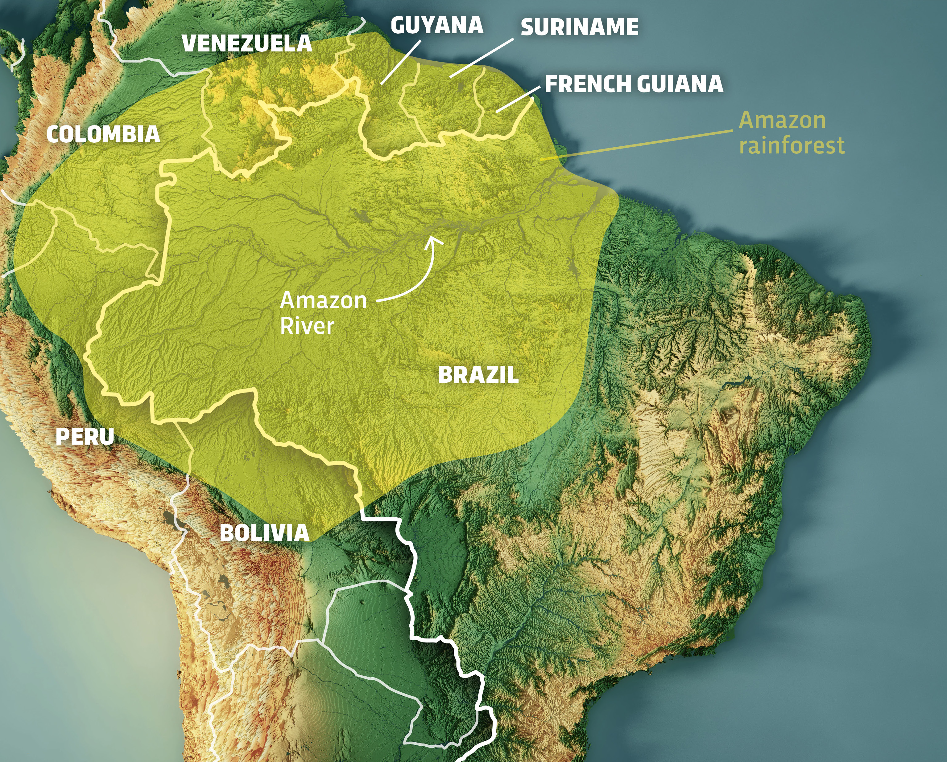
For decades, the answer to the question “where is the Amazon rainforest found?” was a simple matter of geography. One would point to a map of South America, tracing the boundaries of nine nations—primarily Brazil, Peru, and Colombia—to identify the 6.7 million square kilometers of dense tropical canopy. However, in the contemporary era, the “location” of the Amazon has shifted from physical maps to digital ones. Today, the Amazon is found within petabytes of satellite data, complex AI algorithms, and real-time monitoring software that tracks every tremor of a chainsaw and every millimeter of canopy loss.
In the tech sector, the Amazon has become the ultimate frontier for “Geospatial Intelligence” (GEOINT). We no longer just look for the rainforest on a globe; we find it through infrared sensors, synthetic aperture radar, and acoustic monitoring networks. This technological evolution has transformed the Amazon from a remote wilderness into one of the most data-intensive environments on Earth.
1. The Orbital View: Satellite Constellations and Remote Sensing
The primary way we “find” and define the Amazon today is through an intricate web of orbital technology. Satellite remote sensing has moved beyond simple photography into high-spectrum analysis that allows scientists and tech firms to monitor the forest’s health in real-time.
Optical Imagery and Synthetic Aperture Radar (SAR)
Traditionally, tracking the Amazon via satellite was hindered by the region’s intense cloud cover. Optical satellites, like the NASA/USGS Landsat series, provide incredible detail but are often blinded by the very humidity that defines a rainforest. To solve this, the tech community has leaned heavily into Synthetic Aperture Radar (SAR).
SAR technology, utilized by missions like the European Space Agency’s Sentinel-1, sends microwave pulses to the Earth’s surface. These pulses can penetrate clouds, smoke, and darkness, bouncing off the structure of the trees to provide a clear image of what is happening on the ground. By using SAR, tech platforms can “find” illegal logging operations as they happen, even during the rainy season when the forest is most vulnerable and hidden from view.
Real-Time Deforestation Alerts: The GLAD System
Software development has caught up with hardware. The Global Analysis and Discovery (GLAD) system, developed at the University of Maryland and integrated into platforms like Global Forest Watch, represents a pinnacle of environmental software. It uses automated algorithms to process Landsat data, flagging areas where the canopy has been disturbed. This allows for “Near Real-Time” (NRT) monitoring. In this context, the Amazon is “found” in the lines of code that compare weekly snapshots of the Earth to detect pixel-level changes, providing an early warning system for conservationists.
2. AI and Machine Learning: Locating Patterns in the Canopy
If satellites provide the eyes, Artificial Intelligence (AI) provides the brain. With millions of hectares to monitor, human observation is insufficient. Today, the Amazon is found through sophisticated Machine Learning (ML) models that can differentiate between a natural tree fall and a new illegal road being cut through the undergrowth.
Predictive Analytics for Illegal Logging
One of the most exciting trends in AI is predictive modeling. By feeding historical data into neural networks—including topography, proximity to existing roads, and socio-economic data—tech firms can now predict where deforestation is likely to occur next. Projects like PrevisIA use AI to analyze thousands of variables to “find” the next hotspot of forest loss before the first tree is even cut. This shift from reactive monitoring to proactive prediction is a hallmark of modern environmental tech.
Acoustic Monitoring: The “Ear” of the Rainforest
Beyond visual data, tech startups like Rainforest Connection are finding the Amazon through sound. By repurposing old smartphones into solar-powered “Guardian” devices, they create an Internet of Things (IoT) network high in the canopy. These devices use AI-driven sound recognition software to listen for the specific frequency of chainsaws, trucks, and gunshots. When a sound is identified, the software sends an instant alert to local authorities via cloud networks. In this scenario, the rainforest is “found” through a digital acoustic signature, allowing for an immediate response to threats that are invisible to satellites.

3. The Digital Twin: Mapping the Amazon in 3D
The question of “where” the Amazon is found is increasingly answered by “Digital Twins.” A Digital Twin is a virtual representation of a physical asset or environment, and tech companies are currently racing to create a 1,1 scale digital replica of the Amazon.
LiDAR Technology: Seeing Through the Leaves
Light Detection and Ranging (LiDAR) has revolutionized our understanding of the Amazon’s structure. By mounting LiDAR sensors on airplanes or drones, researchers fire millions of laser pulses toward the ground. These pulses filter through the dense leaves to map the ground topography and the precise 3D architecture of the forest.
This tech allows us to find not just the location of the forest, but its volume. We can calculate the exact biomass and carbon storage capacity of specific sectors of the Amazon. For tech-driven carbon markets, this 3D mapping is essential; it turns the physical forest into a verifiable digital asset that can be measured with scientific precision.
GIS and Data Integration for Conservation Policy
Geographic Information Systems (GIS) serve as the software foundation where all this data converges. Modern GIS platforms allow for the overlay of disparate data sets—satellite imagery, LiDAR maps, indigenous territory boundaries, and climate sensor data. This integration allows policymakers to find “spatial correlations” that were previously hidden. For instance, GIS can show exactly how much more resilient the forest is when managed by indigenous communities versus state-run parks, providing a data-backed argument for land rights based on tech-derived evidence.
4. Blockchain and IoT: Securing the Rainforest’s Perimeter
The final layer of finding the Amazon in the tech world involves security and traceability. As global regulations (like the EU’s Deforestation Regulation) become stricter, the “location” of a product’s origin is more important than ever.
Smart Sensors and Mesh Networks
In the deep jungle, where cellular signals are non-existent, the tech industry is deploying Mesh Networks and Low-Power Wide-Area Networks (LPWAN). These IoT sensors monitor soil moisture, local temperature, and tree movement. Because they communicate with each other rather than a central tower, they can operate in the most remote parts of the basin. These sensors allow the Amazon to be “found” by digital dashboards in London or New York, providing a heartbeat of the forest’s physiological state.
Tokenizing the Trees: Traceability in the Supply Chain
Blockchain technology is being used to create an immutable record of where the Amazon is being preserved and where it is being harvested. By creating “Digital Certificates” for timber or carbon credits, blockchain ensures that the data found in the rainforest cannot be tampered with. Every “hectare” can be tokenized. When a consumer buys a product, they can use an app to trace the “location” of the raw materials back to a specific GPS coordinate in the Amazon, verified by satellite and secured by a decentralized ledger.

Conclusion: The Convergence of Nature and Technology
Where is the Amazon rainforest found? In 2024, it is found at the intersection of nature and the digital frontier. While it remains a physical entity of unparalleled biological importance, our ability to preserve it depends entirely on our ability to digitize it.
The transition from traditional maps to AI-powered, 3D, real-time digital twins represents a massive leap in technological capability. We are no longer passive observers of the Amazon’s geography; we are active monitors of its data. Through the lens of Tech Trends—from SAR satellites and AI predictive models to LiDAR mapping and Blockchain traceability—the Amazon is being redefined. It is no longer just a place on a map; it is a global, digital responsibility, located on the screens of every conservationist, scientist, and tech-conscious citizen in the world. As we continue to refine these tools, the “location” of the Amazon will become even more precise, ensuring that this vital organ of the planet is never lost to the shadows of the unknown.
aViewFromTheCave is a participant in the Amazon Services LLC Associates Program, an affiliate advertising program designed to provide a means for sites to earn advertising fees by advertising and linking to Amazon.com. Amazon, the Amazon logo, AmazonSupply, and the AmazonSupply logo are trademarks of Amazon.com, Inc. or its affiliates. As an Amazon Associate we earn affiliate commissions from qualifying purchases.