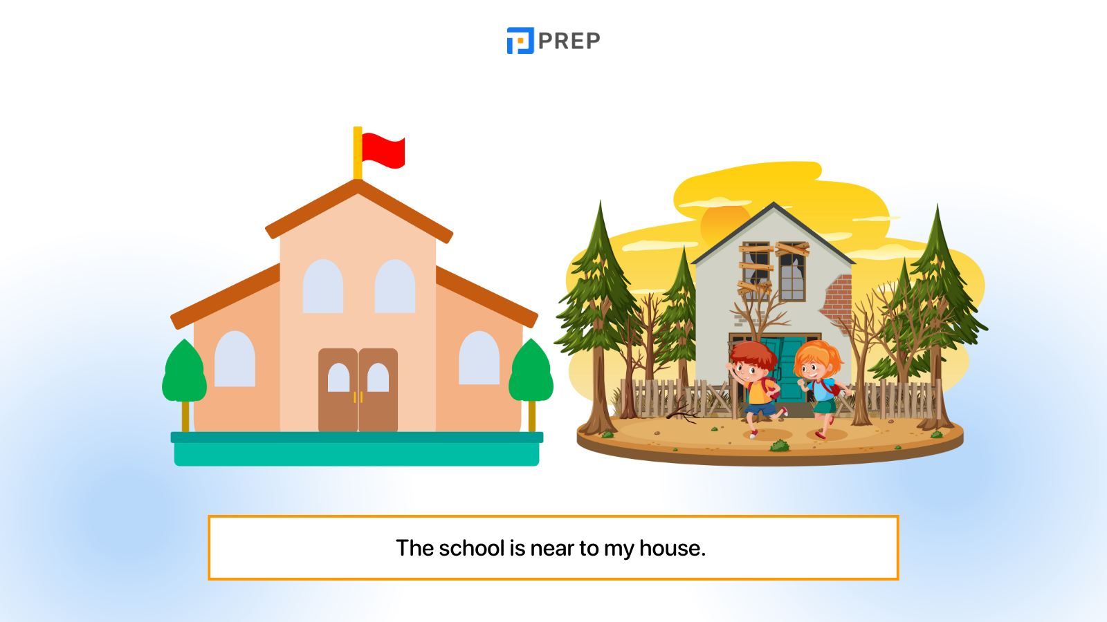
In the modern digital landscape, the phrase “what is near to me” has transcended its status as a simple inquiry. It is now a complex command that triggers a sophisticated orchestration of hardware, software, and data processing. Every time a user types these words into a search engine or speaks them to a virtual assistant, they are interacting with one of the most advanced technological ecosystems ever devised. This “proximity-based” intelligence is the result of decades of evolution in geolocation, data science, and mobile connectivity.
Understanding the technology behind “what is near to me” requires peering into the layers of the tech stack—from the satellites orbiting thousands of miles above the Earth to the microscopic sensors embedded in our handheld devices. As we increasingly rely on our devices to navigate our physical surroundings, the tech industry continues to refine the accuracy, speed, and utility of local discovery.
The Evolution of Geolocation Technology
At the heart of any proximity-based query is geolocation. While we often take it for granted, the ability of a device to pinpoint its location on a globe is a marvel of physics and engineering. This capability forms the bedrock of the “near me” experience, evolving from primitive radio signals to highly precise multi-sensor fusion.
From Satellite Clusters to Smartphone Sensors
The Global Positioning System (GPS) remains the most recognizable component of geolocation. Operated by the U.S. Space Force, GPS consists of a constellation of over 30 satellites. When you ask your phone what is nearby, your device attempts to lock onto signals from at least four of these satellites to calculate your latitude, longitude, and altitude through a process called trilateration.
However, GPS has limitations, particularly in “urban canyons” where tall buildings block satellite signals. To combat this, modern smartphones utilize Assisted GPS (A-GPS), which uses cellular network data to speed up the time-to-first-fix. This integration ensures that even in the heart of a metropolis, your device can determine its location within seconds.
The Role of Wi-Fi Positioning and Beacons
When GPS signals are unavailable or too weak—such as inside a shopping mall or an underground station—the tech shifts to Wi-Fi Positioning Systems (WPS). Your device scans for nearby Wi-Fi access points and compares their unique MAC addresses against a massive global database. Even if you aren’t connected to a network, the mere presence of these signals allows software to triangulate your position with surprising accuracy.
For even more granular proximity, many retail and tech environments utilize Bluetooth Low Energy (BLE) beacons. These small transmitters send out signals that can be detected by apps, allowing for “hyper-local” experiences, such as receiving a discount notification the moment you stand in front of a specific shelf in a store.
How Search Engines and APIs Process Proximity
Knowing where a user is located is only half the battle. The second half is interpreting the user’s intent and matching it with the physical world. This is where software platforms and Application Programming Interfaces (APIs) take center stage, turning raw coordinates into meaningful local information.
Understanding Latency and Real-Time Data Processing
When a user searches for something “near to me,” they expect an instantaneous response. This requires massive computational power and low-latency data retrieval. Search engines like Google or Bing maintain “Local Indexes”—specialized databases that categorize businesses and points of interest based on their geographic coordinates.
When the query is initiated, the engine doesn’t just look for keywords; it calculates the distance between the user’s current “ping” and thousands of potential locations in real-time. This process involves complex sorting algorithms that prioritize not just distance, but also relevance, popularity, and the “freshness” of the data (e.g., is the business currently open?).
The Semantic Web: Interpreting User Intent
Modern search tech has moved beyond literal keyword matching. Through Natural Language Processing (NLP) and the Semantic Web, technology can now understand the context of “near to me.” If a user searches for “pharmacy near me” at 3:00 AM, the algorithm prioritizes 24-hour establishments over those that are closer but closed.
APIs, such as the Google Maps Platform or Mapbox, allow third-party developers to bake this intelligence into their own apps. Whether it is a fitness app finding a nearby running trail or a banking app locating an ATM, these APIs provide the connective tissue between a user’s location and the world’s geographical data.
Location-Based Services (LBS) and the Modern App Ecosystem
The technological infrastructure of proximity has birthed an entire sector known as Location-Based Services (LBS). This industry has redefined how we consume goods, interact with our environment, and move through space. It is the driving force behind the “on-demand” economy.
Ride-Hailing and Delivery: The Hyper-Local Economy
The rise of companies like Uber, Lyft, and DoorDash is predicated entirely on the “near to me” logic. These platforms use real-time geolocation to solve the “Traveling Salesman Problem” at scale. The tech must simultaneously track the location of the consumer, the service provider (the driver), and the merchant (the restaurant).
Sophisticated routing algorithms then calculate the most efficient path between these three nodes, factoring in traffic patterns, road closures, and weather conditions. This is a dynamic, living map that updates every few seconds—a feat of data engineering that would have been impossible a decade ago.
Augmented Reality (AR) and Interactive Navigation
We are moving toward a future where “near to me” is no longer something we read on a screen, but something we see in our field of vision. Augmented Reality (AR) navigation, such as Google Maps’ “Live View,” uses the smartphone’s camera and “Visual Positioning Service” (VPS) to overlay digital directions onto the real world.
By analyzing billions of Street View images, the device can recognize its surroundings with more precision than GPS alone. This tech bridges the gap between the digital map and the physical sidewalk, making the discovery of “what is near” an immersive experience.
Privacy, Data Security, and the Ethical Cost of Proximity
While the convenience of proximity-based tech is undeniable, it raises significant concerns regarding digital security and personal privacy. For a device to tell you what is near, it must constantly know where you are. This persistent tracking creates a “location footprint” that is highly sensitive.
The Anonymization of Location Data
To protect users, tech companies have developed various methods of data obfuscation. One such method is “Differential Privacy,” which adds “mathematical noise” to a user’s location data. This allows companies to analyze trends (such as how busy a park is) without knowing the specific identity or exact movements of an individual user.
Furthermore, on-device processing is becoming more common. Instead of sending your raw location data to a cloud server, modern operating systems like iOS and Android perform many proximity calculations locally. This ensures that the “where” stays on the device, while only the “what” is fetched from the internet.
Regulation and User Control in an Always-Connected World
Legislative frameworks like the GDPR in Europe and the CCPA in California have forced tech companies to be more transparent about location tracking. We now see “Precise vs. Coarse” location toggles in app permissions, allowing users to share their general vicinity without revealing their exact street address.
The tech industry is currently in a tug-of-war between the demand for highly personalized, local experiences and the fundamental right to privacy. As we move forward, the “near me” technology will need to become more “privacy-first” to maintain user trust.
The Future of Nearness: Edge Computing and AI
The final frontier of proximity technology lies in reducing the distance between data and the user. As we look toward the next decade, two technologies will define the “near me” experience: Edge Computing and Artificial Intelligence.
Edge Computing: Reducing Distance in Data
Traditional cloud computing often involves sending data to a server hundreds of miles away. Edge computing changes this by processing data at the “edge” of the network—closer to the user. With the rollout of 5G, the latency involved in asking “what is near to me” will drop to near-zero. This will enable real-time communication between autonomous vehicles, smart city infrastructure, and personal devices, creating a web of proximity that is faster and more reliable than ever.

Predictive Proximity: What You Need Before You Ask
The ultimate goal of proximity tech is to move from reactive to proactive. Through machine learning, your device will eventually understand your routines so well that it won’t wait for you to ask what is near. It will anticipate your needs based on the time of day, your current speed, and your historical behavior.
If you are walking toward a train station and your usual train is delayed, your device will proactively suggest a nearby coffee shop or an alternative bus route. In this future, “near to me” is no longer a search query—it is a seamless, automated extension of our daily lives.
By integrating satellite precision, algorithmic intelligence, and localized hardware, technology has turned the world into an interactive, searchable database. “What is near to me” is the bridge between our physical reality and the infinite possibilities of the digital age.
aViewFromTheCave is a participant in the Amazon Services LLC Associates Program, an affiliate advertising program designed to provide a means for sites to earn advertising fees by advertising and linking to Amazon.com. Amazon, the Amazon logo, AmazonSupply, and the AmazonSupply logo are trademarks of Amazon.com, Inc. or its affiliates. As an Amazon Associate we earn affiliate commissions from qualifying purchases.