For decades, looking up at a silver speck trailing a white vapor path across the sky evoked a sense of mystery. One could only wonder where that aircraft was headed, who was on board, and how high it was cruising. Today, that mystery has been replaced by instantaneous, high-precision data. The question “What flights are above me?” can now be answered in seconds thanks to a sophisticated convergence of satellite navigation, radio frequency technology, and global data networks.
This digital transformation of the skies is not merely a convenience for enthusiasts; it represents a fundamental shift in how global airspace is managed. By leveraging specialized hardware and software, the average consumer now has access to the same telemetry used by professional air traffic controllers.
Understanding ADS-B: The Engine of Modern Flight Tracking
To understand how your smartphone identifies a plane at 35,000 feet, we must first look at the core technology: Automatic Dependent Surveillance-Broadcast (ADS-B). This technology has largely superseded traditional primary radar, which relied on bouncing radio waves off an aircraft’s fuselage.
From Radar to Satellite-Based Surveillance
Traditional radar was a “pull” technology; a ground station sent a signal and waited for a reflection. ADS-B is a “push” technology. An aircraft determines its position via GPS and periodically broadcasts that information—including its altitude, speed, heading, and flight number—to ground stations and other aircraft.
The “Automatic” part of the name means it requires no pilot input. “Dependent” means it relies on the plane’s navigation system. This shift has revolutionized aviation because it provides much higher update rates and better accuracy than the sweeping circles of a radar dish. For the tech-savvy observer, it means the data you see on an app is often accurate to within a few meters.
How Your Smartphone Receives Aviation Data
While aircraft broadcast these signals on a frequency of 1090 MHz, your smartphone does not typically have the hardware to “hear” these radio waves directly. Instead, the process involves a massive, decentralized network of ground-based receivers. These receivers, often owned by hobbyists or tech companies, capture the ADS-B signals and upload them to central servers via the internet. When you open a flight-tracking app, your phone sends its GPS coordinates to the server, which then filters the global database to show you only the aircraft within your immediate vicinity.
Top Apps and Software Tools for Identifying Aircraft
The democratization of flight data has led to the development of powerful software applications that turn a mobile device into a portable radar station. These tools utilize Augmented Reality (AR) and complex data visualization to make the information digestible for the end-user.
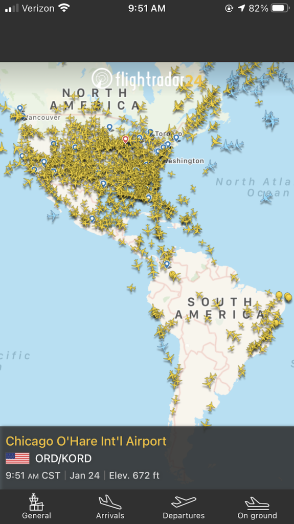
FlightRadar24 and the Power of Crowdsourced Data
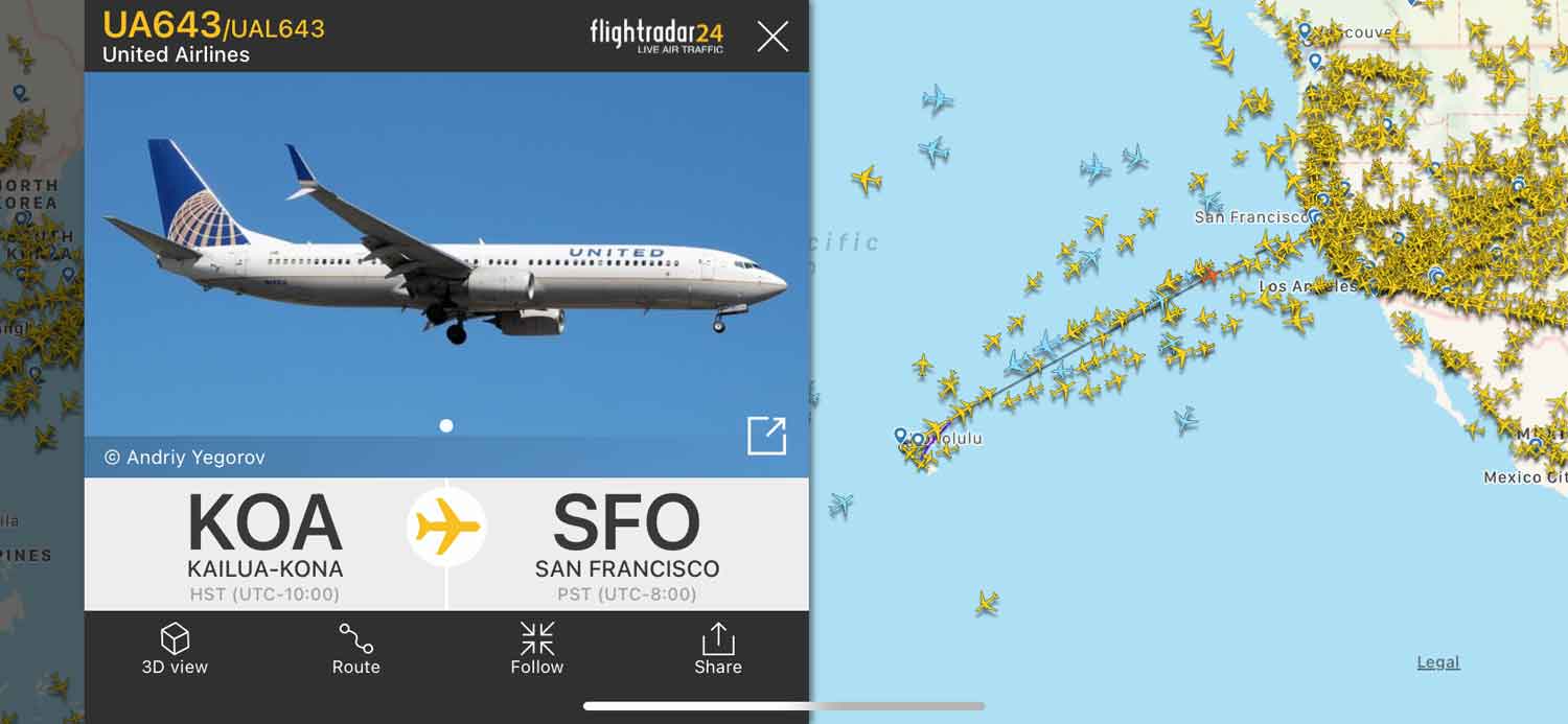
FlightRadar24 is perhaps the most recognized name in the industry. Its success is built on the world’s largest network of ADS-B receivers—over 30,000 units globally. The software’s standout feature is its AR mode. By pointing your phone’s camera at a plane in the sky, the app overlays a digital tag onto the video feed, identifying the aircraft’s model, airline, and destination in real-time.
From a technical perspective, FlightRadar24 excels at data fusion. It combines ADS-B data with Multilateration (MLAT) to track older aircraft that haven’t yet been upgraded to modern transponders. By calculating the time difference of arrival (TDOA) of a signal at multiple receivers, the software can triangulate a plane’s position with impressive precision.
FlightAware and Professional-Grade Telemetry
While FlightRadar24 focuses on the consumer experience, FlightAware is often the choice for those requiring deeper data integration. It is widely used by FBOs (Fixed Base Operators) and airline logistics teams. FlightAware’s strength lies in its predictive algorithms. Using machine learning, the software analyzes historical flight paths and weather patterns to provide “Estimated Time of Arrival” (ETA) updates that are often more accurate than those provided by the airlines themselves. For the tech enthusiast, FlightAware provides extensive APIs, allowing developers to integrate live flight data into their own custom applications or smart-home setups.
Open-Source Alternatives: The Rise of ADSBexchange
In the tech community, there is a growing movement toward unfiltered data. Most commercial tracking apps filter out military movements or private jets belonging to high-profile individuals who request privacy. ADSBexchange operates on a different philosophy. It is a co-op of hobbyists who share raw, unfiltered data. Because it does not censor its feeds, it has become the go-to tool for investigative journalists and tech hobbyists who want to see the “true” state of the airspace without corporate or governmental interference.
The Hardware Ecosystem: Building Your Own Flight Tracker
For many, simply using an app isn’t enough. The rise of low-cost, single-board computers has made it possible for anyone to build their own ground station, contributing to the global network while gaining a local data feed that is faster than any cloud-based app.
Raspberry Pi and RTL-SDR Dongles
The backbone of a DIY flight tracker is typically a Raspberry Pi. By connecting a low-cost Software Defined Radio (SDR) USB dongle to the Pi, you can tune into the 1090 MHz frequency used by aircraft. Software packages like Dump1090 allow the Raspberry Pi to decode the raw radio packets into a readable format.
This setup is a masterclass in modern networking and signal processing. It teaches the user about Linux environments, data encapsulation, and how to manage a headless server. Once the data is decoded, it can be visualized on a local web map, providing a real-time view of the sky that operates even if your external internet connection fails.
Antennas and Signal Propagation
The most critical tech component of a home tracking station is the antenna. Because ADS-B signals are “line-of-sight,” physical obstacles like buildings or mountains will block them. Enthusiasts often experiment with different antenna designs, such as colinear arrays or 1/4 wave ground planes, to maximize their range. A well-tuned antenna mounted on a roof can often “see” aircraft up to 250 miles away. This hardware-centric hobby bridges the gap between traditional radio technology and modern data science.
Artificial Intelligence and the Future of Air Traffic Monitoring
As we move forward, the question “What flights are above me?” will be answered with even more context, thanks to Artificial Intelligence and Machine Learning. The sheer volume of data generated by global aviation is too vast for manual analysis, making it a perfect use case for AI.
Predictive Analysis for Arrival Times
Airlines are now using AI to solve the “taxi time” problem. Even if a flight is “above you” and on schedule, congestion at the airport can lead to delays on the tarmac. Modern tracking software now uses neural networks to analyze thousands of previous landings, current gate availability, and ground vehicle movements to predict exactly when a passenger will step off the plane. This level of granular detail is transforming logistics and supply chain management.
Enhancing Safety Through Automated Alerts
Tech platforms are also implementing automated anomaly detection. If an aircraft’s telemetry deviates from its filed flight plan or exhibits unusual vertical speed patterns, AI systems can flag these events instantly. For the user at home, this means your tracking app might soon be able to send you a notification not just when a flight is nearby, but when a flight is experiencing an emergency or a rare weather diversion, providing a level of situational awareness previously reserved for elite air traffic controllers.
Security, Privacy, and the Ethics of Public Data
The ability to track any flight anywhere raises significant questions regarding privacy and security. The same technology that allows a father to track his daughter’s flight home also allows for the tracking of sensitive movements.
The Controversy of Tracking Private Jets
In recent years, the tech community has clashed with high-net-worth individuals over flight privacy. While commercial airlines operate in the public interest, private jet owners often argue that their movements should remain confidential for security reasons. Programs like LADD (Limiting Aircraft Data Display) allow owners to request that their data be hidden by commercial apps. However, because ADS-B signals are unencrypted and broadcast publicly, they cannot be “hidden” from DIY receivers or open-source platforms like ADSBexchange. This creates a fascinating tension between digital privacy and the “open data” movement.
Military Encryption vs. Public Access
While most civilian aircraft broadcast open data, military technology operates differently. Many tactical military aircraft use “Mode 5” IFF (Identification Friend or Foe), which is encrypted. However, during peacetime or when flying through civilian corridors, even military transport planes often use standard ADS-B for safety. This allows the public to see “invisible” movements of cargo planes or refueling tankers, providing a high-tech window into global geopolitical movements.
The next time you look up and ask what flights are above you, remember that you are tapping into one of the most sophisticated technological grids ever built. From the SDR dongle in a hobbyist’s window to the AI clusters in a data center, the technology of flight tracking is a testament to our desire to map, understand, and master the world above us.
aViewFromTheCave is a participant in the Amazon Services LLC Associates Program, an affiliate advertising program designed to provide a means for sites to earn advertising fees by advertising and linking to Amazon.com. Amazon, the Amazon logo, AmazonSupply, and the AmazonSupply logo are trademarks of Amazon.com, Inc. or its affiliates. As an Amazon Associate we earn affiliate commissions from qualifying purchases.