Leveraging Meteorological Technology to Interpret Sky Phenomena
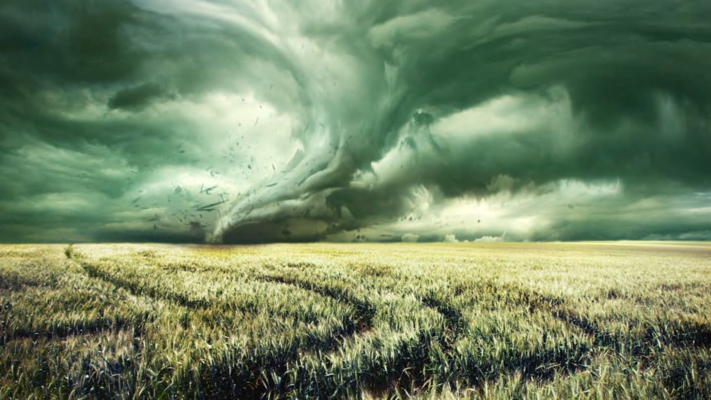
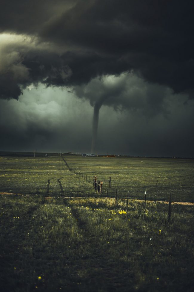
The question of what color the sky turns before a tornado has long fascinated meteorologists and the public alike, representing one of nature’s most dramatic visual cues for impending danger. While anecdotal observations often point to eerie green or dark, ominous skies, understanding the precise atmospheric conditions that create these phenomena, and translating them into actionable warnings, is where cutting-edge technology plays a pivotal role. Modern meteorological tools move beyond mere visual interpretation, providing the deep data analysis necessary to transform a visual curiosity into a critical component of severe weather forecasting.

Advanced Radar Systems and Predictive Algorithms
At the forefront of tornado prediction are sophisticated radar systems. Doppler radar, the backbone of modern weather surveillance, measures not only precipitation intensity but also the velocity and direction of airborne particles. This allows meteorologists to detect rotation within storms – a key indicator of potential tornadic activity – long before any visual manifestation of a tornado. Dual-polarization radar represents a significant technological leap, providing even more detailed information about the size, shape, and type of precipitation particles. This capability helps distinguish between rain, hail, snow, and even debris, offering unprecedented insight into storm structure.
For instance, the presence of large hail within a storm, often a precursor to or accompaniment of tornadoes, can scatter sunlight in a way that produces a greenish tint in the sky. Dual-polarization radar data helps confirm the presence and concentration of such hail, validating the visual cue with empirical data. Predictive algorithms ingest this vast stream of radar data, alongside other atmospheric measurements, to create high-resolution models that forecast storm evolution. These algorithms employ complex physics equations and statistical methods to identify patterns indicative of tornadogenesis, helping forecasters issue warnings with greater accuracy and lead time. The integration of advanced computational power allows for rapid processing of petabytes of data, enabling real-time assessment of developing threats.
Satellite Imagery and Atmospheric Sensing
Complementing ground-based radar, a constellation of weather satellites provides a macroscopic view of atmospheric conditions from space. Geostationary operational environmental satellites (GOES) offer continuous, high-resolution imagery of cloud cover, atmospheric motion, and radiant energy. Their advanced sensors can detect rapid changes in cloud top temperatures and textures, which are critical indicators of intense convection and potential severe storm development. Infrared channels reveal cold cloud tops, signifying powerful updrafts reaching high into the atmosphere, a common characteristic of tornadic supercells. Visible light imagery, especially when combined with specialized filters, can highlight specific cloud features like overshooting tops or flanking lines, visually correlating with intense storm dynamics.
Polar-orbiting satellites, while providing less frequent updates, offer even finer spatial resolution and can carry specialized instruments for atmospheric sounding. These instruments measure temperature and moisture profiles through different layers of the atmosphere, revealing inversion layers or areas of high instability that fuel severe storms. By cross-referencing satellite data with ground observations and radar imagery, meteorologists can build a comprehensive three-dimensional picture of the atmosphere. This technological synthesis allows for a deeper understanding of how factors like high atmospheric moisture content and specific cloud structures contribute to the unique sky colors observed before a tornado, linking a visual phenomenon to a complex, multi-layered atmospheric state captured by advanced sensors.
AI and Machine Learning for Enhanced Tornado Forecasting
The sheer volume and complexity of meteorological data generated by radar, satellites, and ground sensors necessitate advanced analytical tools beyond human capacity. Artificial Intelligence (AI) and Machine Learning (ML) have emerged as game-changers in severe weather forecasting, offering unprecedented capabilities for pattern recognition, prediction, and real-time alert generation. These technologies are not only refining our understanding of storm dynamics but also translating subtle atmospheric shifts, including those contributing to unusual sky colors, into actionable insights.
Pattern Recognition in Atmospheric Data
AI, particularly deep learning models, excels at identifying subtle, non-obvious patterns within vast datasets that might elude human observation or traditional statistical methods. In the context of tornado forecasting, AI algorithms are trained on historical archives of radar scans, satellite images, ground sensor readings, and atmospheric soundings, all correlated with confirmed tornado occurrences. These models learn to recognize complex signatures that precede tornadogenesis, such as specific sequences of radar reflectivity, velocity couplets, or evolving cloud top temperatures and textures observed by satellites.
Crucially, AI can potentially identify correlations between these data patterns and specific visual phenomena, like the notorious green sky. While the precise physical mechanism for green skies (often attributed to light scattering by specific hydrometeor distributions, like large hail or high water content) is understood, AI can refine our ability to predict when these conditions will arise based on a multitude of real-time atmospheric inputs. Neural networks can process high-dimensional data streams to detect precursor signals much faster and more consistently than human analysts, providing earlier alerts. The system doesn’t just look for “a green sky”; it correlates the atmospheric conditions causing the green sky with other strong indicators of severe weather development.
Real-time Alert Systems and Digital Tools
The ultimate utility of advanced forecasting technology lies in its ability to deliver timely and accurate information to the public. AI-powered real-time alert systems and digital tools are transforming how individuals receive and interpret severe weather warnings. Modern weather applications, often leveraging AI backend processing, can provide hyper-localized forecasts, real-time radar overlays, and push notifications for severe weather watches and warnings. These apps synthesize complex meteorological data, including AI-generated predictions, into user-friendly interfaces, often visually mapping storm paths and potential impacts.
Smart home integrations, such as AI-powered voice assistants and smart displays, can deliver immediate severe weather alerts directly into homes, potentially waking residents during overnight events. These systems can process official warnings from meteorological agencies, augmented by AI’s refined predictive capabilities, to provide specific guidance, such as “Tornado Warning for your location. Seek shelter immediately.” Furthermore, some systems are exploring augmented reality (AR) overlays that could allow users to visualize storm trajectories or potential threats in real-time within their local environment, enhancing situational awareness. The transition from general regional warnings to precise, location-specific alerts, driven by AI, represents a significant leap in public safety technology, ensuring that critical information, whether stemming from visual cues or complex data, reaches those who need it most, when they need it most.
Digital Communication and Public Safety Platforms
Effective severe weather preparedness hinges on rapid and clear communication. In an era dominated by digital connectivity, technology platforms have become indispensable tools for meteorologists, emergency managers, and the public to share, receive, and act upon critical weather information. These platforms bridge the gap between complex meteorological data and community-level safety.
Mobile Applications for Weather Monitoring and Alerts
Mobile weather applications are arguably the most pervasive and personal digital tools for severe weather monitoring. Beyond basic temperature forecasts, advanced apps integrate real-time interactive radar, satellite imagery, lightning detection, and comprehensive severe weather warnings issued by national meteorological services. Many leverage sophisticated APIs to pull data from multiple sources, offering a holistic view of current and impending weather conditions. Users can customize alerts for specific locations, ensuring they receive push notifications for tornado watches, warnings, and other vital advisories.
Features like future radar projections, storm cell tracking, and detailed precipitation type mapping empower users to track the progression of storms that might produce unusual sky colors. Some apps even offer “following” capabilities, allowing users to monitor weather threats for family members or property in distant locations. The user experience is continuously refined, often incorporating geographical information systems (GIS) to provide hyper-local impact assessments and evacuation routes. These apps are not just informative; they are interactive safety platforms, translating complex atmospheric science into immediately understandable and actionable advice for millions.
Social Media and Crowdsourced Weather Intelligence
Social media platforms have evolved into powerful, real-time communication channels during severe weather events. Official meteorological agencies, local emergency management services, and storm chasers utilize platforms like X (formerly Twitter), Facebook, and Instagram to disseminate critical updates, share radar loops, and provide visual evidence of ongoing threats. These platforms allow for rapid, widespread distribution of information, often reaching audiences faster than traditional media during rapidly evolving situations.
Beyond official channels, social media also facilitates crowdsourced weather intelligence. During events, individuals often post real-time observations, including descriptions and photos of unusual sky colors, hail size, or cloud formations. While unofficial, this crowdsourced data, when corroborated and filtered by meteorologists, can provide valuable supplementary information, especially in areas with sparse ground-based sensors. Emergency managers monitor these platforms to gauge public awareness, identify areas of concern, and respond to calls for assistance. Hashtags become central hubs for information exchange, enabling communities to share resources and safety tips. The challenge lies in filtering credible information from misinformation, a task where AI and human moderators often work in tandem, but the potential for enhancing situational awareness through collective observation is immense.
The Future of Tornado Prediction: Integrating Visuals with Advanced Tech
The quest for more precise and earlier tornado warnings continues to drive innovation in meteorological technology. As our understanding of severe weather dynamics deepens, so too does our ability to harness advanced computational and sensing capabilities. The future promises an even tighter integration of visual phenomena with sophisticated technological interpretation.
Hyperspectral Imaging and Augmented Reality
Future satellite and airborne platforms are likely to incorporate hyperspectral imaging, which captures data across hundreds of narrow spectral bands. This allows for an incredibly detailed analysis of atmospheric composition, aerosol content, and cloud microphysics. Hyperspectral data could provide unprecedented insight into the specific light-scattering properties within storm clouds, offering a more scientific basis for understanding and predicting the exact nuances of sky color changes before a tornado. By detecting subtle chemical signatures or particle distributions that influence light refraction, meteorologists could gain an earlier, more accurate diagnostic indicator of severe storm development.
Augmented Reality (AR) also holds immense potential. Imagine emergency responders equipped with AR glasses that overlay real-time storm data onto their field of view. This could include visualized wind shear vectors, hail core locations, and tornado vortex signatures, all dynamically rendered over the actual sky. For the public, AR weather apps could project future storm paths onto their local environment, allowing them to visualize the progression of a tornadic cell and its proximity. Such tools would merge the visual reality of an ominous sky with scientifically derived data, providing an intuitive, immersive, and highly actionable understanding of the threat.
Edge Computing and IoT Sensors in Atmospheric Monitoring
The increasing proliferation of Internet of Things (IoT) sensors promises a denser, more granular network for atmospheric monitoring. These small, low-cost sensors can be deployed across vast areas, measuring localized temperature, humidity, pressure, and even particulate matter. When combined with edge computing – processing data closer to its source – these networks can provide hyper-local, real-time insights into microclimates and rapidly developing atmospheric conditions.
For tornado prediction, this means the ability to detect subtle, localized changes in wind flow, temperature gradients, or pressure drops that might precede a tornado, even in areas not covered by traditional radar. Edge computing ensures that critical data is processed and acted upon almost instantaneously, reducing latency in warning systems. Such a distributed, intelligent sensor network could provide highly localized information about factors contributing to unusual sky colors, allowing for warnings tailored to specific neighborhoods or even street blocks. This level of precision, integrating ubiquitous sensor data with powerful processing at the edge, represents a significant step towards a future where technology can interpret and predict severe weather phenomena with unprecedented detail, transforming how communities prepare for and respond to nature’s most violent storms.
aViewFromTheCave is a participant in the Amazon Services LLC Associates Program, an affiliate advertising program designed to provide a means for sites to earn advertising fees by advertising and linking to Amazon.com. Amazon, the Amazon logo, AmazonSupply, and the AmazonSupply logo are trademarks of Amazon.com, Inc. or its affiliates. As an Amazon Associate we earn affiliate commissions from qualifying purchases.