
The term “backcountry” traditionally evokes images of remote, untamed wilderness—vast expanses untouched by human development, demanding self-reliance and deep navigational skills. Historically, venturing into the backcountry meant relying on physical maps, compasses, and sheer intuition. However, in the 21st century, the definition and experience of backcountry are being profoundly reshaped by technology. For the modern adventurer, what is backcountry is inextricably linked to the digital tools, software, and gadgets that facilitate access, enhance safety, and redefine the boundaries of exploration. Understanding backcountry today means appreciating how technological advancements allow us to navigate, communicate, and even interpret these wild spaces with unprecedented precision and capability.
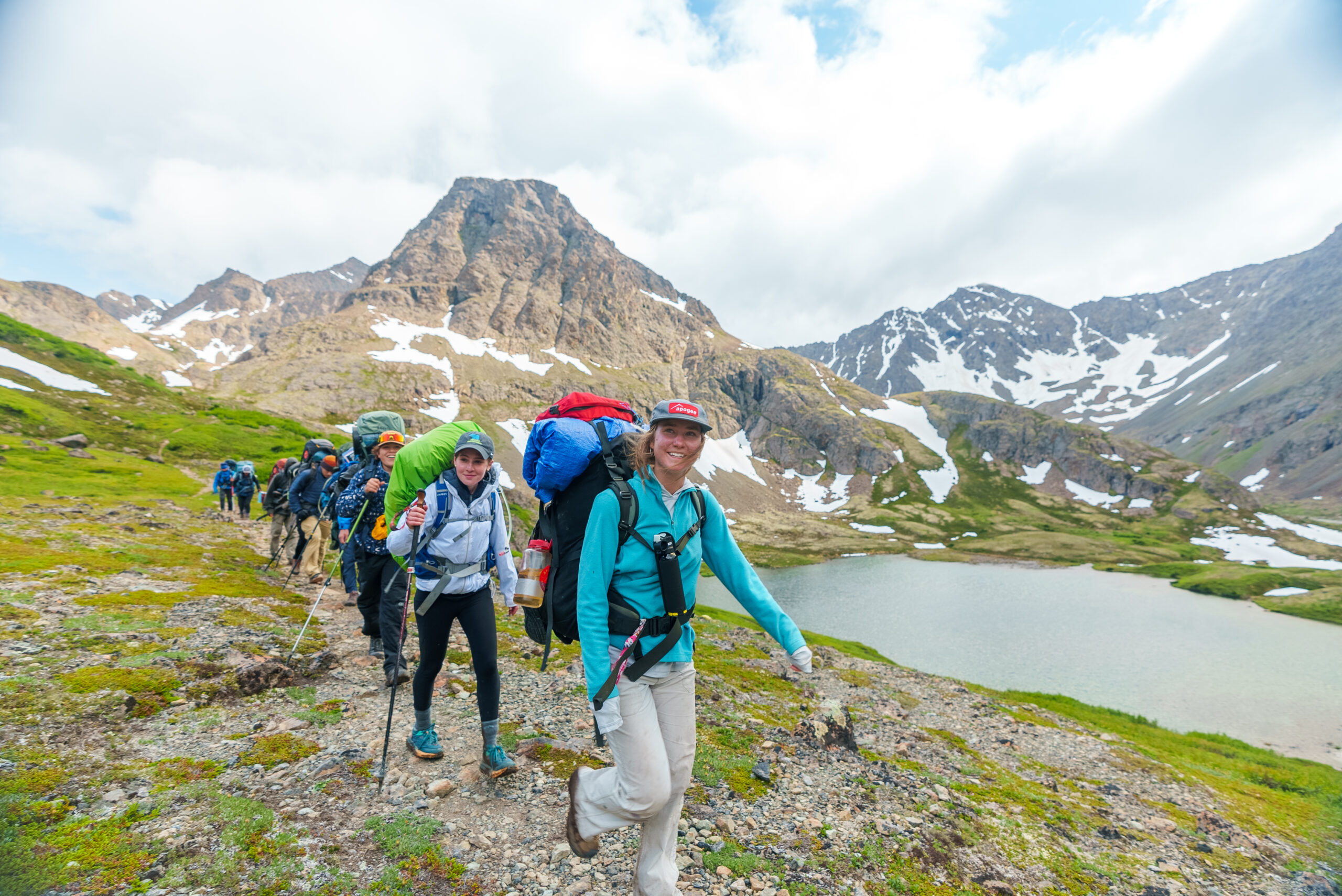
Redefining Wilderness in the Digital Age
The essence of backcountry remains its isolation and natural grandeur, yet the methods of interacting with it have undergone a revolution. Where once intrepid explorers relied solely on their wits and rudimentary tools, today’s backcountry enthusiast often carries a pocket-sized arsenal of powerful technology. This shift isn’t merely about convenience; it’s about a fundamental redefinition of safety, navigation, and even the planning phases of a wilderness excursion. Digital mapping, satellite communication, and smart wearables have transformed backcountry into a domain where preparedness is augmented by intelligent systems, making previously inaccessible or highly risky areas more manageable for a broader audience. This digital integration challenges the purist notion of “roughing it” by providing layers of digital security and navigational certainty that were unimaginable decades ago, thereby expanding what is possible within the wild.
Navigating the Uncharted: Precision Tools for Wilderness Exploration
The most significant technological impact on backcountry exploration lies in navigation and planning. The days of solely relying on paper maps and magnetic compasses are, for many, a relic of the past, replaced by sophisticated digital alternatives that offer unparalleled accuracy and real-time data.
GPS and Satellite Mapping: From Paper to Pixels
Global Positioning System (GPS) devices, whether dedicated handheld units like those from Garmin or integrated into smartphones and smartwatches, have become indispensable. These tools provide precise location data, track routes, and mark crucial waypoints, dramatically reducing the risk of getting lost. Beyond basic location, advanced GPS units and mobile applications offer detailed topographic maps with contour lines, trail markers, water sources, and potential hazards, all rendered digitally. Many apps allow for offline map downloads, ensuring functionality even without cell service. Satellite mapping services, often integrated into these apps, provide aerial views that can aid in identifying terrain features that might be ambiguous on traditional topographic maps. This level of detail and accessibility fundamentally alters the navigational challenge, transforming guesswork into informed progression.
Route Planning Software: Pre-trip Virtual Reconnaissance
Before even setting foot in the wilderness, software and online platforms like Gaia GPS, AllTrails Pro, CalTopo, and Fatmap allow users to meticulously plan their routes. These tools provide comprehensive information including elevation profiles, distance calculations, estimated travel times, and integration with weather forecasts. Users can create custom routes, import existing GPX files, and visualize the terrain in 2D or 3D, gaining a virtual reconnaissance of their journey. This pre-trip planning capability mitigates risks by enabling adventurers to anticipate challenges, identify bail-out points, and select the most appropriate gear for specific conditions. Such digital foresight is crucial for optimizing safety and enhancing the overall backcountry experience, allowing for more ambitious and successful expeditions.
Staying Connected and Safe: Beyond the Grid Communication
While backcountry implies disconnecting from the everyday, modern technology ensures that a critical lifeline remains available, fundamentally altering the safety paradigm. The ability to communicate beyond cell service is perhaps the most transformative technological advancement for backcountry safety.
Satellite Communicators and Personal Locator Beacons (PLBs)
In remote areas where cellular networks are non-existent, satellite communicators like the Garmin inReach, Zoleo, and Spot devices provide essential two-way messaging, emergency SOS capabilities, and GPS tracking. These devices transmit signals via satellite constellations, allowing users to send text messages to contacts, receive weather updates, and, most critically, trigger an emergency response with their precise location to search and rescue services. Personal Locator Beacons (PLBs) offer a more singular function, emitting a distress signal directly to satellite networks monitored by international rescue coordination centers. These devices are non-negotiable for serious backcountry exploration, providing a robust layer of digital security that significantly reduces response times in critical situations, thereby redefining what is considered an acceptable level of risk in the wilderness.
Portable Power Solutions
The reliance on electronic devices in the backcountry necessitates reliable power solutions. Portable power banks, offering multiple recharges for smartphones and other USB-powered gadgets, have become standard equipment. For extended trips, lightweight solar chargers can harness sunlight to replenish batteries, ensuring that navigation, communication, and safety devices remain operational. The constant innovation in battery technology, leading to higher capacities and faster charging, directly supports the extended use of tech in remote environments, making multi-day excursions with digital tools more feasible and secure.
Smart Gear and Augmented Experiences
Beyond core navigation and communication, specialized smart gear and advanced tools are further augmenting the backcountry experience, offering insights into performance, safety, and documentation.
Wearable Tech: Data for Performance and Safety
Smartwatches and fitness trackers from brands like Garmin, Suunto, and Apple have evolved into sophisticated backcountry companions. Equipped with GPS, altimeters, barometers, compasses, and heart rate monitors, these devices provide real-time data on altitude, weather changes, directional bearings, and physiological responses to exertion. For mountaineers, tracking changes in barometric pressure can forewarn of impending storms, while monitoring heart rate during strenuous climbs helps manage exertion levels. The ability to record and analyze trip data post-hike also aids in future planning and performance improvement, making these wearables integral to the modern backcountry kit.
Drones and Action Cameras: Capturing the Backcountry Narrative
While perhaps not essential for safety, drones and rugged action cameras (e.g., GoPro) have transformed how backcountry experiences are documented and shared. Drones provide unique aerial perspectives of landscapes, aiding in reconnaissance for route finding or simply capturing breathtaking vistas. Action cameras, designed to withstand extreme conditions, allow adventurers to record their journeys in immersive detail, from whitewater rafting to mountain biking. These tools enable the sharing of the backcountry experience, inspiring others and contributing to a visual archive of these pristine environments, all powered by miniaturized, robust digital imaging technology.
AI-powered Weather Forecasting and Environmental Monitoring
The integration of artificial intelligence is beginning to offer more granular and predictive insights into backcountry conditions. AI algorithms can analyze vast datasets of meteorological information, topographic data, and historical patterns to provide hyper-local, real-time weather forecasts, crucial for avoiding dangerous conditions like sudden thunderstorms, blizzards, or flash floods. Beyond weather, future AI applications might involve analyzing sensor data from remote monitoring stations to predict avalanche risk, detect wildfires early, or track wildlife movements, thereby contributing to both human safety and environmental conservation in increasingly intelligent ways.

The Ethical Implications and Future of Backcountry Tech
As technology increasingly defines what backcountry is, it also introduces ethical considerations. The balance between enhanced safety and preserving the traditional sense of wilderness solitude is a growing debate. While tech undoubtedly makes backcountry more accessible and safer, there’s a responsibility to ensure it doesn’t diminish the raw, self-reliant spirit of the wild or contribute to environmental degradation through increased traffic. Leave No Trace principles must extend to digital conduct, discouraging over-reliance or disregard for basic wilderness skills.
The future of backcountry tech promises even more sophisticated integration: augmented reality overlays for navigation, bio-feedback systems that monitor vital signs and alert for potential health crises, and swarm robotics for remote environmental sensing. What is backcountry will continue to evolve, shaped by our ever-advancing technological capabilities, demanding a thoughtful approach to harnessing innovation while respecting the fundamental wildness it represents. For now, it is a realm where the ancient call of the wild meets the cutting edge of digital innovation, creating a dynamic and increasingly accessible frontier for human exploration.
aViewFromTheCave is a participant in the Amazon Services LLC Associates Program, an affiliate advertising program designed to provide a means for sites to earn advertising fees by advertising and linking to Amazon.com. Amazon, the Amazon logo, AmazonSupply, and the AmazonSupply logo are trademarks of Amazon.com, Inc. or its affiliates. As an Amazon Associate we earn affiliate commissions from qualifying purchases.