
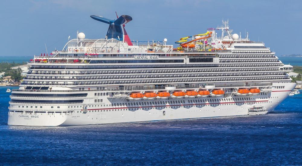
The question “Where is the Carnival Magic right now?” might seem like a simple inquiry from a curious passenger, a maritime enthusiast, or even someone planning a future cruise. However, beneath this seemingly straightforward query lies a complex and fascinating web of technology that underpins the entire global maritime industry. In an age dominated by data and connectivity, the ability to pinpoint the real-time location of a massive vessel like the Carnival Magic is a testament to the advancements in tracking systems, satellite communication, and digital platforms. This article delves into the technological marvels that make such real-time visibility possible, exploring the tools, systems, and future trends that transform a simple question into a rich tapestry of innovation within the tech sphere.
The Technological Backbone of Maritime Tracking
At its core, tracking a vessel like the Carnival Magic relies on sophisticated data collection and transmission systems that operate continuously across the world’s oceans. These technologies are not just for passenger convenience; they are critical for safety, navigation, logistics, and regulatory compliance.
AIS: The Global Standard for Ship Identification
The primary technology enabling the real-time tracking of commercial vessels, including cruise ships, is the Automatic Identification System (AIS). Mandated by the International Maritime Organization (IMO) for all international voyaging ships over 300 gross tonnage, AIS transponders broadcast a wealth of information at regular intervals. This data includes:
- Static Information: The vessel’s unique IMO number, name, call sign, type, and dimensions.
- Dynamic Information: Position (latitude and longitude), speed over ground, course over ground, heading, and rate of turn.
- Voyage-Related Information: Destination, estimated time of arrival (ETA), and navigational status (e.g., “at anchor,” “underway using engine”).
AIS signals are transmitted via VHF radio waves. These signals can be picked up by other AIS-equipped vessels, shore-based stations within range (typically up to 50 nautical miles), and increasingly, by dedicated AIS satellites. The beauty of AIS lies in its open standard, allowing for a collaborative, real-time picture of maritime traffic, enhancing collision avoidance and facilitating search and rescue operations. For the Carnival Magic, its AIS transponder is constantly broadcasting this data, forming the fundamental layer of its digital footprint on the global seas.
Satellite Tracking and VMS Beyond AIS
While terrestrial AIS receivers are effective near coastlines, the vastness of the open ocean necessitates satellite-based solutions. AIS satellites pick up the VHF signals from transponders even when ships are far from land, relaying this data back to ground stations. This global coverage ensures that the Carnival Magic’s position can be monitored virtually anywhere on its journey.
Beyond AIS, many commercial vessels, particularly those engaged in specific operations like fishing or government oversight, utilize Vessel Monitoring Systems (VMS). While less about public access and more about proprietary or regulatory tracking, VMS often incorporates satellite communication (e.g., Inmarsat, Iridium) to transmit position reports directly to fleet operators or authorities. For cruise lines, satellite communication extends to general operational data, passenger Wi-Fi, and critical safety communications, all feeding into a comprehensive digital picture of the ship’s status and location. These systems create redundancy and enhance the reliability of location data, ensuring that critical information about a ship’s whereabouts is always available to relevant parties.
Data Aggregation and Real-time Processing
The raw data from AIS, VMS, and other shipboard sensors is voluminous and constantly flowing. To make sense of it, sophisticated data aggregation and real-time processing platforms are essential. Companies specializing in maritime intelligence collect this data from a multitude of sources—shore-based AIS receivers, satellite networks, weather buoys, and even port schedules. They then process, clean, and integrate this information into coherent datasets.
These platforms employ advanced algorithms and big data technologies to filter noise, correct errors, and present the data in an easily digestible format. For instance, predictive models might analyze historical routes and current weather conditions to estimate a ship’s arrival time with greater accuracy. The result is a dynamic, constantly updated map of global maritime traffic, accessible through various web portals and dedicated applications, allowing anyone from a shipping executive to a curious individual to pinpoint the Carnival Magic’s location with remarkable precision.
Empowering Passengers and Enthusiasts: Digital Platforms
The technological infrastructure behind ship tracking isn’t just for industry insiders. It’s increasingly being democratized, allowing passengers, travel agents, and maritime enthusiasts to engage directly with real-time vessel data through user-friendly digital interfaces.
Official Cruise Line Apps and Websites
Major cruise lines, including Carnival, have invested significantly in their digital ecosystems. Their official mobile applications and websites serve as central hubs for passenger information, booking management, and, crucially, ship tracking. Within these platforms, passengers often find interactive maps that display the current location of their booked vessel, its itinerary, and sometimes even a live webcam feed from the ship’s bridge.
For the Carnival Magic, its official presence online would likely show its real-time position, upcoming ports of call, and any scheduled deviations. These tools are designed to enhance the passenger experience, providing peace of mind and excitement before and during a voyage. They leverage the underlying AIS and satellite data, presenting it in an intuitive, branded environment, often with additional information relevant to the cruise experience, such as deck plans, daily activity schedules, and dining options.
Third-Party Maritime Tracking Services
Beyond official channels, a robust ecosystem of third-party maritime tracking services caters to a broader audience. Websites and apps like MarineTraffic, VesselFinder, and VessleTracker are prime examples. These platforms aggregate AIS data from a global network of receivers and satellites, presenting it on interactive maps. Users can search for specific vessels, filter by type, and view detailed information including the ship’s history, photos, and current status.
These services offer a more global perspective, allowing users to track not just the Carnival Magic but virtually any AIS-equipped vessel worldwide. They are popular among shipping professionals for logistics and monitoring, but also among hobbyists, port authorities, and even families wanting to track a loved one’s cruise. The data is often presented with rich overlays, showing weather patterns, port congestion, and other relevant maritime information, making them powerful tools for understanding the dynamics of global shipping.
The Role of Social Media and Community Engagement
While not a direct tracking technology, social media platforms and online communities play a significant role in augmenting real-time information about vessels like the Carnival Magic. Passengers often share updates, photos, and videos from their cruises, inadvertently providing “crowdsourced” location and status information. Hashtags specific to a ship or itinerary (#CarnivalMagic, #CaribbeanCruise) can become virtual real-time feeds.
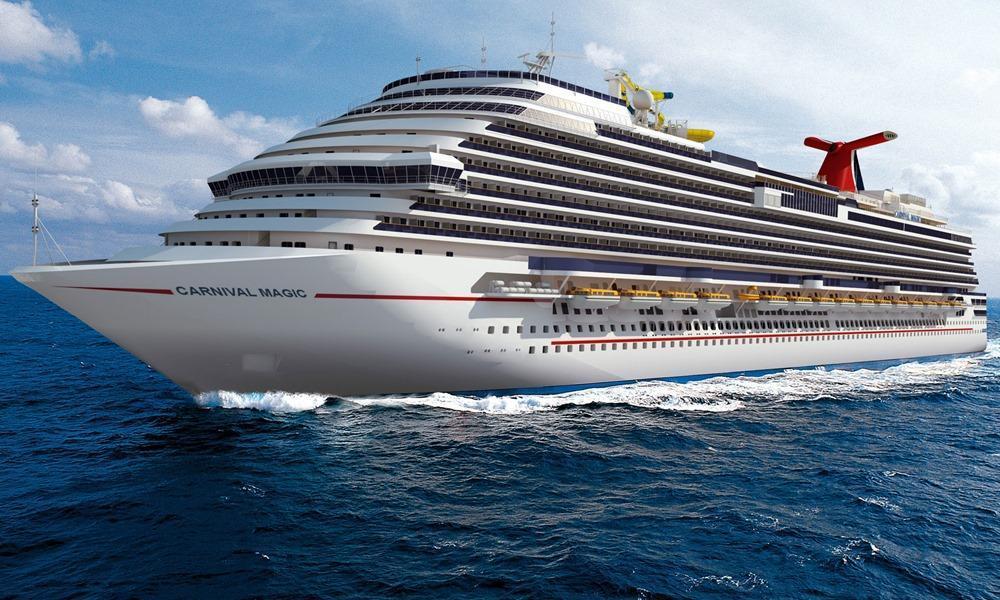
Furthermore, dedicated online forums and Facebook groups for cruise enthusiasts frequently feature discussions about specific ships, including their current whereabouts, unusual maneuvers, or delays. These communities act as an informal, yet often surprisingly accurate, source of real-time intelligence, complementing the data from official tracking systems. This blend of structured data and unstructured social media interaction creates a holistic, dynamic picture of a ship’s journey.
Beyond Location: Leveraging Positional Data for Operations and Analytics
The real-time location data of the Carnival Magic isn’t just for curious eyes; it’s a critical asset for the cruise line’s operational efficiency, safety protocols, and future strategic planning. The ability to collect, analyze, and act upon this data transforms how a massive enterprise manages its fleet.
Enhancing Operational Efficiency and Logistics
For Carnival Cruise Line, knowing “where is the Carnival Magic right now” is fundamental to efficient operations. This data allows for:
- Fuel Optimization: By constantly tracking speed, course, and environmental conditions, operators can make real-time adjustments to optimize fuel consumption, a significant cost factor for cruise ships.
- Port Coordination: Accurate ETAs allow port authorities and ground logistics teams to prepare for the ship’s arrival, coordinating everything from docking pilots and tugboats to provisioning, waste management, and passenger disembarkation/embarkation. Delays are minimized, and turnaround times are optimized.
- Fleet Management: With multiple ships operating globally, central command can monitor the entire fleet, re-routing ships if necessary due to weather, mechanical issues, or geopolitical events. This ensures smooth operations across all vessels.
Predictive Analytics for Route Optimization
The wealth of historical and real-time positional data is a goldmine for predictive analytics. AI and machine learning algorithms can analyze past routes, weather patterns, ocean currents, and port congestion data to recommend optimal routes for the Carnival Magic. This isn’t just about the shortest distance; it’s about the most efficient, safest, and most comfortable route for passengers.
- Weather Routing: Predicting severe weather fronts and advising captains on alternative paths to avoid rough seas, ensuring passenger comfort and safety.
- Congestion Avoidance: Anticipating busy shipping lanes or congested ports and suggesting adjustments to arrival times or approaches to minimize waiting periods.
- Environmental Compliance: Optimizing routes to comply with environmental regulations, such as avoiding protected marine areas or reducing emissions in specific zones.
Data-Driven Passenger Experience and Safety
Ultimately, the data derived from tracking the Carnival Magic contributes directly to enhancing the passenger experience and ensuring paramount safety standards.
- Real-time Information: Providing passengers with accurate updates on arrival times, itinerary changes, and port conditions through in-app notifications or onboard displays.
- Emergency Response: In the rare event of an emergency, precise location data is invaluable for coordinating search and rescue operations, allowing emergency services to reach the vessel quickly and efficiently.
- Crew Management: Understanding a ship’s current and predicted location allows for better planning of crew shifts, logistics for crew changes, and deployment of specialized personnel for specific operations or excursions at various ports.
The Future of Ship Tracking: AI, IoT, and Next-Gen Connectivity
The technology enabling us to answer “where is the Carnival Magic right now?” is far from static. The maritime industry is on the cusp of a new wave of innovation, driven by artificial intelligence, the Internet of Things, and advanced satellite communication.
AI-Powered Predictive Maintenance and Anomaly Detection
AI is set to revolutionize not just route optimization but also vessel maintenance and anomaly detection. By continuously analyzing sensor data from hundreds of points across the Carnival Magic – engine performance, fuel consumption, vibration levels, pump pressures, and more – AI algorithms can predict potential equipment failures before they occur. This allows for proactive maintenance, reducing downtime, extending the lifespan of machinery, and enhancing safety.
Furthermore, AI can detect subtle anomalies in a ship’s behavior or location data that might indicate a problem. A slight deviation from an expected course, an unusual speed fluctuation, or an unexpected stop in open water could trigger an alert, prompting investigation and ensuring a rapid response to any potential issues.
IoT Sensors for Comprehensive Vessel Monitoring
The Internet of Things (IoT) will exponentially increase the granularity of data collected from vessels. Beyond traditional AIS and engine parameters, thousands of interconnected sensors throughout the Carnival Magic will monitor everything from cabin temperatures and water purity to structural integrity and waste levels. This hyper-connected environment will provide an unparalleled real-time digital twin of the ship.
This comprehensive monitoring will not only enhance operational efficiency but also improve the passenger experience. Imagine sensors adjusting cabin climates automatically, smart systems managing energy consumption based on occupancy, or even personalized alerts for passengers about services or events on board based on their real-time location on the ship.
Starlink and Enhanced Satellite Communication
The advent of new satellite constellations, such as SpaceX’s Starlink, promises to dramatically improve internet connectivity at sea. High-bandwidth, low-latency satellite internet will transform communication capabilities on vessels like the Carnival Magic. This means:
- More Robust Data Transmission: Faster and more reliable transfer of operational data, telemetry, and high-resolution images/videos from the ship to shore and vice-versa.
- Enhanced Real-time Tracking: More frequent and richer data updates, potentially enabling even finer-grained tracking capabilities and more dynamic adjustments to operations.
- Immersive Passenger Experience: Passengers will enjoy home-like internet speeds, enabling seamless streaming, video calls, and real-time sharing of their experiences, further blurring the lines between being at sea and connected to the world.
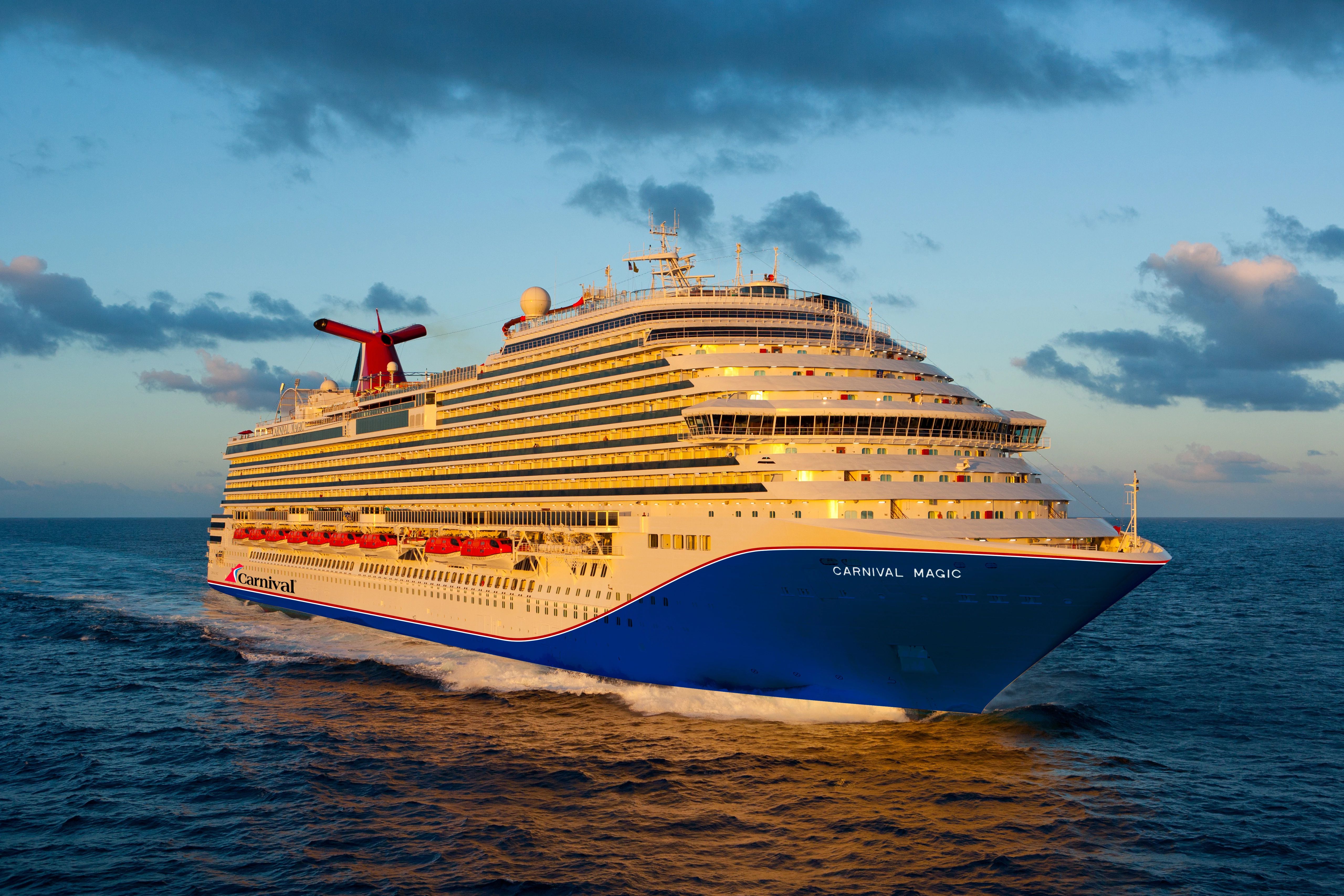
These advancements will not only make answering “where is the Carnival Magic right now?” even more precise and immediate but will also unlock entirely new possibilities for managing, operating, and experiencing travel on these majestic vessels. The seemingly simple question hides a world of technological complexity and continuous innovation, ensuring that these giants of the sea remain connected, safe, and efficient for decades to come.
aViewFromTheCave is a participant in the Amazon Services LLC Associates Program, an affiliate advertising program designed to provide a means for sites to earn advertising fees by advertising and linking to Amazon.com. Amazon, the Amazon logo, AmazonSupply, and the AmazonSupply logo are trademarks of Amazon.com, Inc. or its affiliates. As an Amazon Associate we earn affiliate commissions from qualifying purchases.