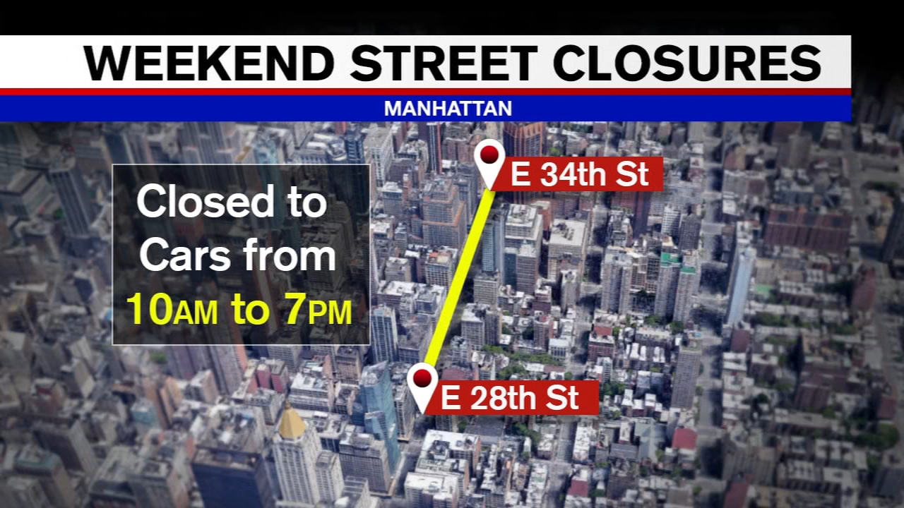
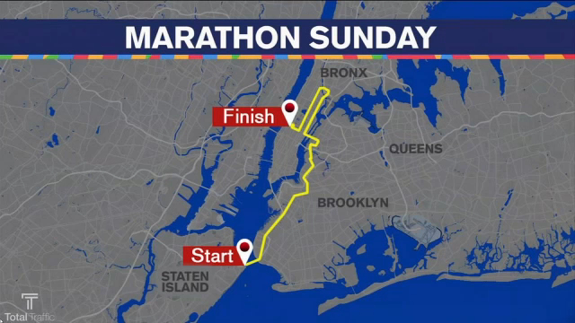
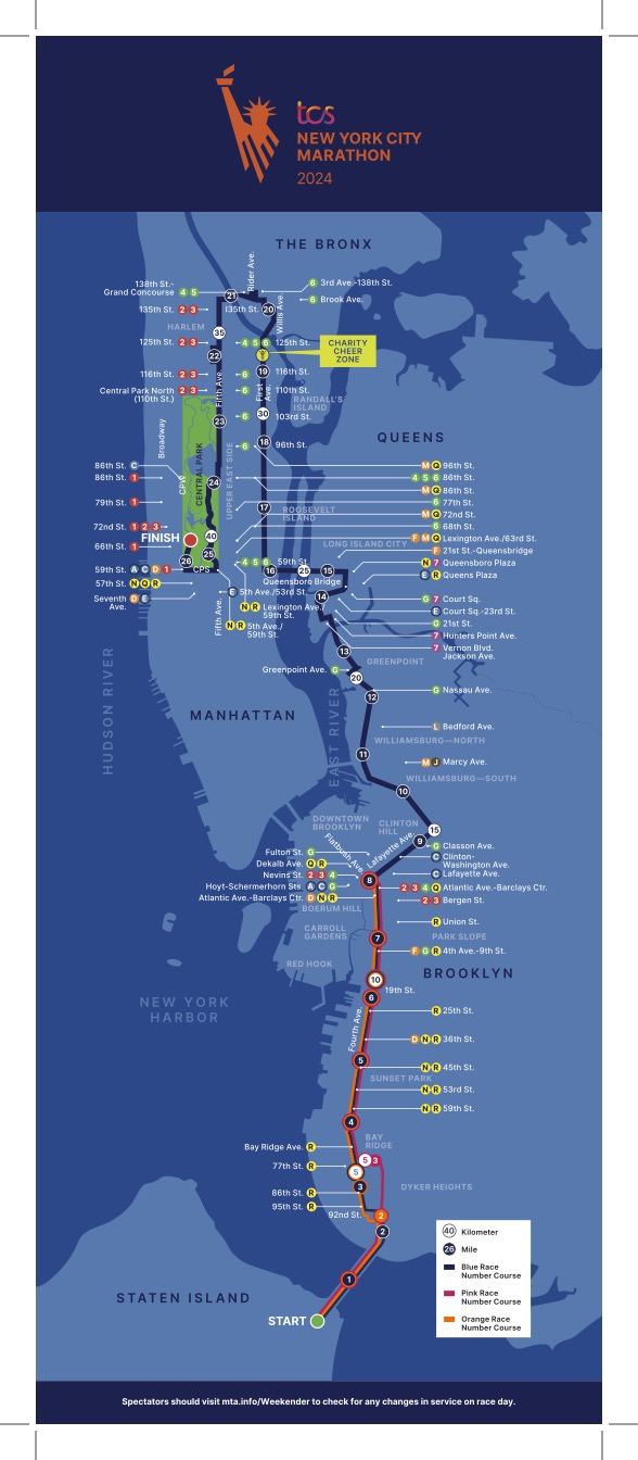
For the millions of commuters, delivery drivers, and tourists navigating the concrete canyons of Manhattan and its surrounding boroughs, the question “what streets are closed today in NYC” is more than a minor curiosity—it is a daily tactical necessity. In a city where a single double-parked truck can trigger a mile-long bottleneck, the complexity of managing thousands of planned and unplanned street closures is staggering.
Historically, this information was siloed within paper permits and police logs. Today, however, New York City has transformed into a living laboratory for urban technology. The answer to what streets are closed is no longer found on a radio broadcast; it is generated by a sophisticated ecosystem of Geospatial Information Systems (GIS), Internet of Things (IoT) sensors, and Artificial Intelligence. This article explores the high-tech infrastructure that makes real-time urban navigation possible in one of the world’s most complex environments.
The Digital Pulse of the City: How Real-Time Data Replaced Static Maps
The transition from static infrastructure to a dynamic digital map is the foundation of modern urban mobility. When a street is closed for a street fair in Brooklyn or a water main break in Chelsea, that physical obstruction must be converted into digital code almost instantaneously to prevent a systemic traffic collapse.
The Role of NYC Open Data and API Integration
At the heart of NYC’s tech strategy is the “Open Data” initiative. The City of New York provides a robust set of Application Programming Interfaces (APIs) that feed live information regarding DOT (Department of Transportation) permits, construction activity, and emergency closures directly to developers. This transparency allows third-party apps—ranging from global giants like Google Maps to niche logistics software—to pull “ground truth” data. By centralizing this data in a machine-readable format, the city ensures that the “closed” sign on a street corner is mirrored in the cloud within seconds.
Crowdsourcing and the Power of Mesh Networks
While official city data provides the “planned” closures, the “unplanned” closures—accidents, sudden protests, or emergency repairs—require a different tech stack. This is where crowdsourced platforms like Waze and Apple Maps utilize the power of the mesh. Every smartphone in a moving vehicle acts as a passive sensor. Using anonymized geolocation pings, these platforms identify when velocity drops to zero on a specific block. Through algorithmic verification, if multiple “sensors” (users) report a blockage, the system flags the street as closed. This synergy between government-issued data and real-time user telemetry creates the most accurate map of the city ever devised.
IoT and Sensor Networks: The Hardware Behind the Information
Beyond the software, New York City has invested heavily in physical hardware to monitor its arteries. The “Smart City” movement has turned standard utility poles and traffic lights into sophisticated data-gathering nodes.
Intelligent Transportation Systems (ITS)
The NYC Department of Transportation utilizes a massive network of Intelligent Transportation Systems. This includes over 15,000 signalized intersections, many of which are now equipped with microwave sensors and E-ZPass readers that track the movement of traffic without identifying individual drivers. These sensors provide the raw data necessary to determine the “health” of a street. If a street is closed, the ITS automatically recalibrates the timing of traffic lights on adjacent avenues to absorb the diverted flow, a process managed by centralized software in a high-tech command center in Long Island City.
Connected Vehicle Pilot Programs
One of the most ambitious tech projects in NYC is the Connected Vehicle (CV) Pilot Program. By installing Dedicated Short-Range Communications (DSRC) devices in thousands of city fleet vehicles and taxis, the city creates a “talking” infrastructure. These vehicles communicate with “Roadside Units” (RSUs). When a street closure is detected or planned, the RSU can broadcast a digital alert directly to the dashboard of a connected vehicle blocks before the driver sees a physical barricade. This V2I (Vehicle-to-Infrastructure) communication is the precursor to a fully autonomous city.
AI and Predictive Modeling: Solving the Gridlock Equation
Knowing which streets are closed now is valuable, but for logistics companies and city planners, the real “holy grail” of tech is knowing how those closures will impact the city three hours from now. This is where Artificial Intelligence and Machine Learning (ML) take center stage.
Machine Learning for Traffic Flow and Redirection
Modern traffic management software uses ML algorithms to run “what-if” scenarios. For instance, if the FDR Drive needs to be closed for emergency resurfacing, AI models analyze historical data from similar closures to predict exactly how much additional pressure will be placed on First and Second Avenues. These models take into account variables like the time of day, weather conditions, and even the schedule of local sporting events at Madison Square Garden or Barclays Center. The result is a predictive heat map that allows traffic controllers to proactively adjust the city’s digital footprint.
Optimizing Emergency Response Routes
When streets are closed, the stakes are highest for the FDNY and EMS. Advanced routing algorithms specifically designed for emergency services integrate real-time closure data to calculate the “path of least resistance.” These systems don’t just look for the shortest distance; they use AI to evaluate the “dynamic permeability” of a neighborhood. If a street is closed for a parade, the software identifies “emergency gates” or alternative access points that are not visible to the general public on standard GPS apps.
The Future of Urban Mobility: V2X and Digital Twins
As we look toward the next decade, the technology answering “what streets are closed” will move from reactive displays to proactive, integrated ecosystems.
Vehicle-to-Everything (V2X) Communication
The next evolution of the smart city is V2X. This technology allows cars to communicate not just with the city infrastructure (V2I) but with each other (V2V) and even with pedestrians’ smartphones (V2P). In this future, a street closure notice wouldn’t just be an icon on a map; it would be a set of coordinates that an autonomous vehicle’s onboard computer uses to recalculate its trajectory in milliseconds, long before the passenger is even aware of the obstruction.
The Rise of the “Digital Twin”
Urban planners in NYC are increasingly using “Digital Twin” technology—a virtual, 3D replica of the entire city that updates in real-time. By integrating street closure data into a Digital Twin, the city can visualize the impact of construction or events in a high-fidelity virtual environment. This allows for better “spatial deconfliction”—ensuring that the DOT doesn’t issue a construction permit for the same street where the NYPD has planned a dignitary motorcade.
Cybersecurity and Data Privacy in Urban Geolocation
With the massive influx of data required to monitor NYC’s streets, the tech industry faces a dual challenge: maintaining the integrity of the information and protecting the privacy of the citizens who generate it.
Protecting Critical Infrastructure
The systems that report street closures and control traffic lights are part of the city’s critical infrastructure. A cyberattack that feeds false “closed” signals to navigation apps could theoretically paralyze the city’s economy or delay emergency services. To combat this, NYC’s Cyber Command employs advanced encryption and blockchain-based verification for data feeds. Ensuring that the “street closed” message is authentic and hasn’t been tampered with is as important as the message itself.
The Ethics of Geolocation Tracking
As we rely on apps to tell us which streets are open, we must address the “data exhaust” we leave behind. Tech companies are under increasing pressure to use “differential privacy”—a technique that adds mathematical “noise” to datasets to ensure that while traffic trends are clear, individual movements cannot be de-anonymized. The goal of modern urban tech is to create a seamless, “legible” city where the question of “what streets are closed today” is answered effortlessly, without compromising the digital rights of the eight million people who call New York home.
In conclusion, the simple act of checking a smartphone for a closed street in NYC is the end result of a massive, multi-layered technological achievement. From the IoT sensors embedded in the asphalt to the AI models running in the cloud, New York City is proving that while its streets may be old, its brain is decidedly high-tech. As these technologies continue to converge, the “closed” sign will move from being a source of frustration to a minor, invisible reroute in a perfectly choreographed digital symphony.
aViewFromTheCave is a participant in the Amazon Services LLC Associates Program, an affiliate advertising program designed to provide a means for sites to earn advertising fees by advertising and linking to Amazon.com. Amazon, the Amazon logo, AmazonSupply, and the AmazonSupply logo are trademarks of Amazon.com, Inc. or its affiliates. As an Amazon Associate we earn affiliate commissions from qualifying purchases.