
Winter presents a formidable challenge for all wildlife, and the wild turkey ( Meleagris gallopavo) is no exception. While images of these large birds huddled together for warmth might come to mind, their winter survival strategies are far more complex and fascinating. Understanding these behaviors isn’t just an academic pursuit for ornithologists; it’s increasingly a realm where technology plays a pivotal role in data collection, analysis, and conservation efforts. From satellite tracking to advanced camera traps, modern technology offers unprecedented insights into how wild turkeys navigate the harsh realities of winter, providing valuable data for effective wildlife management and ecosystem understanding.

The Winter Landscape: Environmental Challenges and Turkey Adaptations
As temperatures plummet and food sources dwindle, wild turkeys must adapt their behavior to survive the lean months. These adaptations are a testament to their evolutionary resilience, and modern technology allows us to observe these processes in finer detail than ever before.
Foraging Strategies in a Scarce Environment
The primary challenge for turkeys in winter is securing adequate nutrition. Their omnivorous diet shifts significantly as insects and green vegetation become scarce.
Leveraging GPS Trackers for Foraging Pattern Analysis
Historically, understanding turkey foraging patterns involved extensive field observations, which are time-consuming and can be disruptive to the birds. Today, miniature GPS trackers, some weighing as little as a few grams, are affixed to wild turkeys. These devices transmit precise location data at regular intervals, creating detailed maps of their movements. By analyzing these data points, researchers can identify specific foraging hotspots, understand how flock sizes influence foraging success, and determine the types of food sources they prioritize when resources are limited. For example, analyzing GPS data can reveal if turkeys are spending more time in areas with persistent mast (nuts) or if they are actively seeking out agricultural fields left unharvested. This granular data allows for the mapping of seasonal food availability and helps predict areas where supplemental feeding might be beneficial in extreme conditions, though such interventions are carefully considered to avoid dependency.
Camera Traps and Remote Sensing for Diet Composition
While GPS trackers reveal where turkeys go, camera traps, often equipped with motion sensors and infrared capabilities, provide visual evidence of what they are consuming. Strategically placed near known feeding areas, these cameras capture images of turkeys foraging. Advanced image recognition software, a rapidly developing area in wildlife technology, can even assist in identifying specific food items from these images, such as acorns, berries, or leftover grain. Furthermore, remote sensing technologies, like satellite imagery, can be employed to assess the health and availability of key winter food sources across vast landscapes. By analyzing vegetation indices and land cover changes, conservationists can get a broader understanding of the foraging capacity of a given habitat during winter, informing broader habitat management plans.
Seeking Shelter and Conserving Energy
Beyond finding food, turkeys must also protect themselves from the elements and conserve precious energy. Their strategies involve both behavioral adjustments and physiological adaptations, all of which can be monitored using technological tools.
Thermal Imaging for Roosting Behavior
Wild turkeys exhibit a remarkable ability to select appropriate roosting sites to maximize warmth and minimize exposure to predators during the frigid winter nights. Traditionally, this involved direct observation, which is often difficult and intrusive, especially during cold weather. However, the advent of portable thermal imaging cameras has revolutionized this aspect of research. These devices allow researchers to observe turkeys in their natural roosting spots without disturbing them. By detecting heat signatures, researchers can identify preferred roosting locations, such as dense coniferous stands that offer insulation and protection from wind. The data can reveal how turkeys huddle together to share body heat, the optimal heights for roosting, and how their body temperature fluctuates throughout the night. This information is crucial for understanding their energetic costs of survival and for identifying critical winter habitat that needs protection.
Acoustic Monitoring for Flock Dynamics
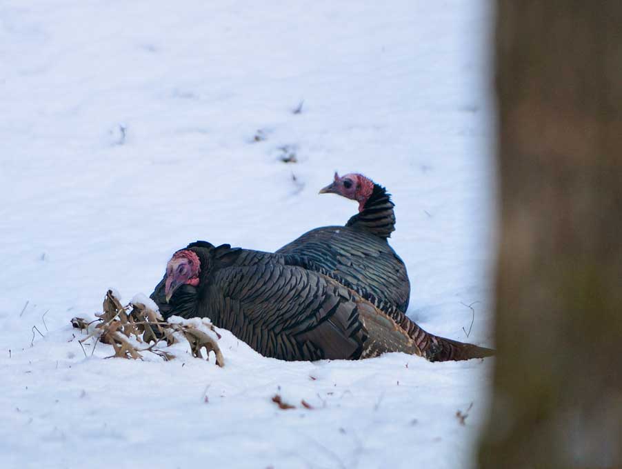
While less directly tied to physical shelter, flocking behavior is a crucial survival strategy in winter. Larger flocks offer increased vigilance against predators and can help break trails through snow. Acoustic monitoring devices, strategically placed in turkey habitats, can record the vocalizations of these birds. Advanced algorithms can then analyze these soundscapes to identify the presence of turkeys, estimate flock size based on the intensity and frequency of calls, and even potentially detect alarm calls that indicate predator presence. This non-invasive technology allows researchers to understand how flock dynamics change throughout the winter, how they respond to disturbances, and how social interactions contribute to their overall survival. This data can be invaluable in understanding the impact of habitat fragmentation on their ability to form and maintain effective winter flocks.
Technological Innovations in Turkey Conservation and Management
The insights gained from technologically-driven research directly inform conservation and management strategies aimed at ensuring healthy wild turkey populations, especially during challenging winter periods.
Predictive Modeling and Habitat Management
Understanding turkey behavior is the first step; predicting future needs and optimizing habitats is the next. Technology enables a proactive approach to conservation.
GIS and Spatial Analysis for Habitat Suitability
Geographic Information Systems (GIS) are powerful tools that integrate various data layers, including topography, land cover, human development, and the GPS tracking data of turkeys. By overlaying turkey movement patterns with environmental data, GIS can create detailed habitat suitability models. These models identify areas that provide crucial winter resources – food, water, and roosting sites – and highlight areas where habitat is lacking or degraded. This spatial analysis is invaluable for land managers, allowing them to prioritize areas for habitat restoration, reforestation, or the establishment of wildlife corridors. For instance, GIS can pinpoint areas where planting native mast-producing trees would have the greatest impact on turkey winter survival.
Drone Technology for Habitat Assessment and Population Monitoring
Drones equipped with high-resolution cameras and even thermal sensors are increasingly used for wildlife surveys. In winter, drones can efficiently cover large areas to assess snow depth, identify open water sources, and survey the health of mast-producing trees. They can also be used for aerial counts of turkeys gathered in open areas or near food sources, providing population estimates that are less disruptive than ground-based surveys. The ability to conduct these surveys from above is particularly advantageous in difficult winter terrain, offering a safer and more cost-effective alternative to traditional methods. Furthermore, drones can be used to deploy tracking devices or even, in some experimental applications, to precisely deliver supplementary food resources in critical, inaccessible areas during severe winters, although this is a highly regulated and specialized intervention.
Data Integration and Citizen Science Platforms
The sheer volume of data generated by modern technology requires sophisticated systems for storage, analysis, and dissemination. Furthermore, the public can play a vital role in conservation efforts.
Big Data Analytics for Behavioral Insights
The vast amounts of data collected from GPS trackers, camera traps, and acoustic sensors represent “big data.” Specialized software and analytical techniques are employed to process, clean, and interpret this information. Machine learning algorithms are being developed to identify complex behavioral patterns that might not be apparent through manual analysis. This could include recognizing subtle changes in movement that indicate stress from predator presence or identifying optimal foraging times based on weather patterns. The ability to integrate diverse datasets – for instance, correlating GPS movement data with local weather station readings – allows for a more holistic understanding of how environmental factors influence winter survival.
Citizen Science Apps and Data Contribution
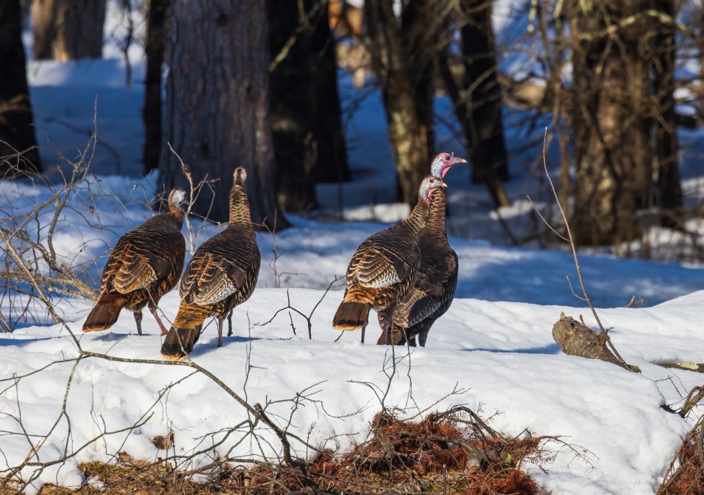
While advanced technology is often in the hands of researchers, citizen science initiatives are democratizing data collection. Mobile applications allow the public to report turkey sightings, including location, number of birds, and observed behaviors. These reports, when validated and integrated into larger databases, can supplement scientific research by providing a broader geographical coverage of turkey distribution and activity during winter. Technologies like geofencing and image recognition within these apps can help standardize the data collected, making it more useful for scientific analysis. This collaborative approach, empowered by user-friendly tech, fosters public engagement and provides valuable real-time information that can alert researchers to unusual population shifts or localized survival challenges.
In conclusion, the question of what wild turkeys do in the winter is no longer solely answered by direct observation. The integration of technology, from miniature GPS trackers and advanced camera traps to sophisticated GIS modeling and citizen science platforms, has transformed our understanding of their winter ecology. These technological advancements not only illuminate the intricate adaptations of these resilient birds but also provide the crucial data needed for effective conservation strategies, ensuring that wild turkeys continue to thrive through the harshest of seasons. The ongoing evolution of these technologies promises even deeper insights in the future, solidifying the symbiotic relationship between nature and innovation in the pursuit of wildlife preservation.
aViewFromTheCave is a participant in the Amazon Services LLC Associates Program, an affiliate advertising program designed to provide a means for sites to earn advertising fees by advertising and linking to Amazon.com. Amazon, the Amazon logo, AmazonSupply, and the AmazonSupply logo are trademarks of Amazon.com, Inc. or its affiliates. As an Amazon Associate we earn affiliate commissions from qualifying purchases.