
When a person searches for the location of “Amazon” on a map, they might be looking for the coordinates of the world’s largest rainforest. However, in the modern landscape of technology and global commerce, “Amazon” refers to a sprawling, invisible empire of data centers, fiber-optic cables, and satellite arrays. To find the Amazon on a tech map is to understand the skeletal structure of the modern internet.
The digital Amazon is not localized to a single continent. Instead, it is a distributed architecture that powers roughly one-third of the web’s daily traffic through Amazon Web Services (AWS). To pinpoint its location, one must look at a map of “Regions” and “Availability Zones,” a sophisticated grid that determines how quickly a website loads, how securely data is stored, and how artificial intelligence models are trained.
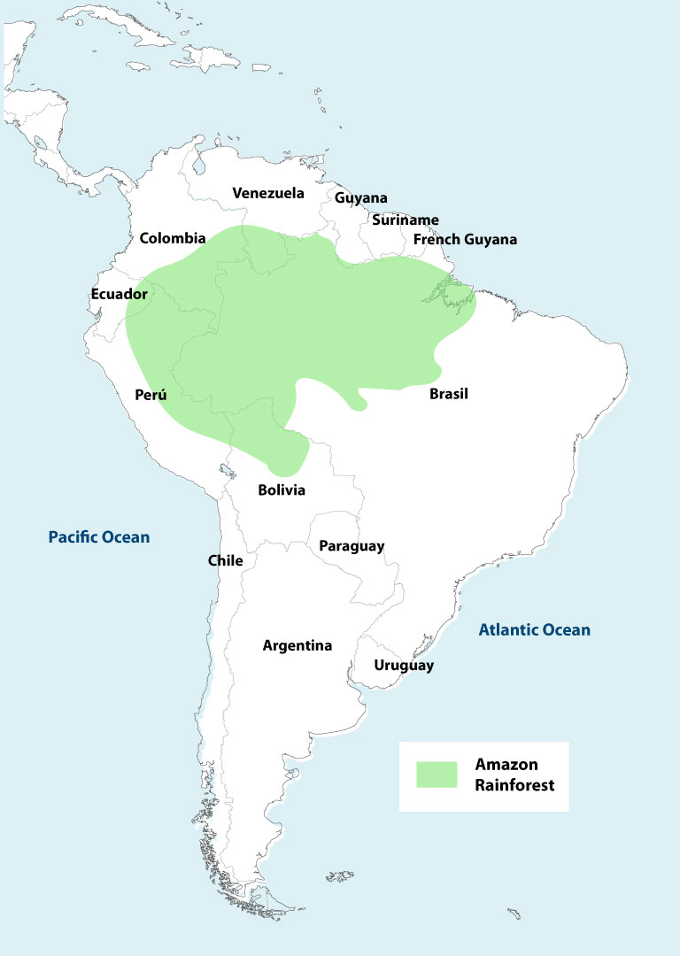
The Physical Foundation: Mapping AWS Regions and Availability Zones
The most literal answer to where the Amazon is located on a tech map lies in its global cloud infrastructure. AWS is the backbone of the company’s technological dominance, and its physical presence is divided into distinct geographical clusters known as Regions.
The Concept of Global Regions
An AWS Region is a physical location in the world where Amazon has multiple Availability Zones. As of the current technical roadmap, these regions are strategically placed in North America, South America, Europe, China, Asia Pacific, and the Middle East. For example, if you are looking at a map of the United States, the “US East (N. Virginia)” region is one of the most critical hubs on the planet. It is not just a single building; it is a massive cluster of data centers that serves as the primary gateway for global internet traffic.
Choosing a location on this map is a matter of latency and compliance. Tech developers place their data in the “Dublin” region to comply with European GDPR laws or in the “Tokyo” region to ensure millisecond-level responsiveness for users in East Asia. This map is constantly expanding, with new regions regularly appearing in emerging tech markets like Indonesia and the UAE.
Latency and Local Zones: Bringing the Map Closer to the User
Beyond the major regions, Amazon’s map includes “Local Zones.” These are extensions of AWS Regions placed near large population centers, industry hubs, and IT corridors. By placing compute and storage services closer to the end-user, Amazon allows for “single-digit millisecond” latency. For industries like high-frequency trading, real-time gaming, and autonomous vehicle telemetry, the location of these Local Zones is the most important “map” in existence. They represent the edge of the cloud, pushing the boundaries of where processing power can live.
The Invisible Grid: Data Centers and Global Connectivity
To truly map Amazon’s reach, one must look below the surface—literally. The tech giant’s footprint extends into the very bedrock of the Earth and across the floors of the world’s oceans. This is the hardware layer of the Amazon ecosystem, consisting of millions of servers and proprietary networking hardware.
Subsea Cables and High-Speed Fiber
Data does not move through the air alone; it moves through glass. Amazon invests heavily in subsea fiber-optic cables that connect their global regions. When you look at a map of the “Amazon Tech Network,” you see a web of underwater lines connecting Oregon to Tokyo and Virginia to Ireland. These cables are the nervous system of the company. By owning or leasing private capacity on these lines, Amazon bypasses the “public” internet, ensuring that data traveling between its data centers is faster and more secure than standard web traffic.
Edge Locations: The Frontier of the Digital Map
In addition to the massive data centers, Amazon’s map is dotted with hundreds of “Edge Locations.” These are points of presence (PoP) used by Amazon CloudFront, their Content Delivery Network (CDN). While a Region might be a massive campus of buildings, an Edge Location might be a smaller installation in a city like Nairobi or Marseille. These locations cache data locally. When a user downloads a video or an app update, they aren’t reaching back to a central server in Seattle; they are reaching the closest “Amazon dot” on the map, drastically reducing the physical distance data must travel.
The Software Landscape: Mapping the Amazon Digital Ecosystem

While the physical map of servers is impressive, the “location” of Amazon is also defined by its software presence. In the tech world, location is often defined by the platform a user is currently inhabiting.
From Retail to the Cloud: A Unified Platform
The Amazon software map is a multi-layered ecosystem. At the base layer is the Linux-based Amazon Machine Image (AMI) and the specialized hypervisors that run their cloud instances. Above that, you find the consumer-facing platforms: the retail engine, Prime Video, and the Kindle ecosystem.
Each of these is located on a “virtual map” of microservices. When you click “Buy Now,” your request travels through a complex map of software architecture. It moves from a front-end server to an inventory database, then to a logistics algorithm, and finally to a payment gateway. This internal map is what allows the company to scale. It is a world of code where “location” is defined by API calls and container orchestration through services like Amazon EKS (Elastic Kubernetes Service).
Digital Security and the Perimeter of the Network
Security is the border patrol of the Amazon map. Through Identity and Access Management (IAM) and AWS Shield, the company creates a “Virtual Private Cloud” (VPC) for every client. On a map of digital security, these are walled gardens. Even though a startup’s data might be physically located in the same building as a Fortune 500 company’s data, the software map ensures they are light-years apart in terms of access. This logical isolation is what makes the digital Amazon a viable “location” for government and military data.
The Celestial Map: Project Kuiper and Orbital Technology
Amazon’s map is no longer restricted to the surface of the Earth. The next frontier for the company’s tech stack is located in Low Earth Orbit (LEO). This is the domain of Project Kuiper, Amazon’s satellite internet initiative.
Bridging the Digital Divide via Satellite
Project Kuiper aims to deploy a constellation of over 3,000 satellites. On a map of the future, the “Amazon location” will be everywhere. By using LEO satellites, the company can provide high-speed broadband to remote areas where laying fiber-optic cable is geographically or economically impossible. This effectively moves the “Amazon map” into the sky, creating a global mesh network that can serve a farmer in a remote part of Brazil or a research station in the Arctic.
Competitive Positioning in the New Space Race
This orbital map is not just about connectivity; it is about vertical integration. By controlling the satellites, the ground stations, and the data centers, Amazon creates an end-to-end tech stack. This allows them to compete directly with other satellite providers while offering a unique advantage: direct, low-latency links to AWS. For a business operating in a remote area, their “local” server is now a satellite passing overhead, connected directly to the global cloud.
Mapping the Future: AI, Robotics, and the Logistics Web
The final layer of the Amazon tech map is found in the intersection of artificial intelligence and physical automation. This is where the digital world dictates the movement of the physical world.
Generative AI and the AWS Bedrock Infrastructure
In the current era of AI, Amazon is mapping out a new territory called AWS Bedrock. This is a platform that allows developers to build and scale generative AI applications using foundation models. On the map of AI development, Bedrock is a central hub. It provides the “compute” (the heavy-duty GPU and TPU power) needed to process billions of parameters. The location of these specialized AI chips—such as the custom-designed Trainium and Inferentia processors—is becoming the most high-value real estate in the tech world.
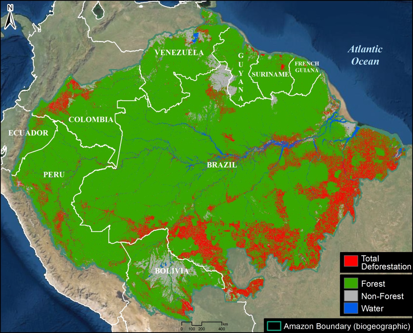
Smart Warehousing: Mapping the Physical Logistics Flow
Finally, we return to the ground. Inside the millions of square feet of Amazon fulfillment centers, a different kind of map exists. This is a 3D map navigated by thousands of autonomous robots. Using computer vision and machine learning, these robots navigate a highly optimized grid to move inventory.
This logistics map is a marvel of edge computing. Each warehouse is essentially a localized data center where tech and physical labor converge. Sensors track every movement, and algorithms predict where a package needs to be before a customer even clicks “order.” When you ask “where is Amazon,” the answer is often “in a warehouse five miles away,” guided by a cloud located five hundred miles away, via a satellite five hundred miles above.
The “map” of Amazon is a multi-dimensional construct. It is a physical footprint of data centers, a subterranean network of fiber, a celestial constellation of satellites, and a logical architecture of code. In the tech niche, Amazon is not a point on a map—it is the map itself, providing the territory upon which the modern digital economy is built.
aViewFromTheCave is a participant in the Amazon Services LLC Associates Program, an affiliate advertising program designed to provide a means for sites to earn advertising fees by advertising and linking to Amazon.com. Amazon, the Amazon logo, AmazonSupply, and the AmazonSupply logo are trademarks of Amazon.com, Inc. or its affiliates. As an Amazon Associate we earn affiliate commissions from qualifying purchases.